1041 Brevard Place Rd Iron Station, NC 28080
Estimated Value: $445,000 - $714,180
3
Beds
3
Baths
1,691
Sq Ft
$334/Sq Ft
Est. Value
About This Home
This home is located at 1041 Brevard Place Rd, Iron Station, NC 28080 and is currently estimated at $565,545, approximately $334 per square foot. 1041 Brevard Place Rd is a home located in Lincoln County with nearby schools including Iron Station Elementary School, East Lincoln Middle School, and East Lincoln High School.
Ownership History
Date
Name
Owned For
Owner Type
Purchase Details
Closed on
Mar 29, 2010
Sold by
Walsh Michael and Walsh Michele L
Bought by
Walsh Michael J and Walsh Michelle L
Current Estimated Value
Purchase Details
Closed on
Oct 28, 2004
Bought by
Walsh Michael
Purchase Details
Closed on
May 6, 1994
Bought by
Johnston Richard M and John Shelly C
Create a Home Valuation Report for This Property
The Home Valuation Report is an in-depth analysis detailing your home's value as well as a comparison with similar homes in the area
Home Values in the Area
Average Home Value in this Area
Purchase History
| Date | Buyer | Sale Price | Title Company |
|---|---|---|---|
| Walsh Michael J | -- | None Available | |
| Walsh Michael | $280,000 | -- | |
| Johnston Richard M | $140,000 | -- |
Source: Public Records
Tax History Compared to Growth
Tax History
| Year | Tax Paid | Tax Assessment Tax Assessment Total Assessment is a certain percentage of the fair market value that is determined by local assessors to be the total taxable value of land and additions on the property. | Land | Improvement |
|---|---|---|---|---|
| 2025 | $3,797 | $590,739 | $268,534 | $322,205 |
| 2024 | $3,777 | $590,739 | $268,534 | $322,205 |
| 2023 | $3,692 | $590,739 | $268,534 | $322,205 |
| 2022 | $2,591 | $336,630 | $150,427 | $186,203 |
| 2021 | $2,591 | $336,630 | $150,427 | $186,203 |
| 2020 | $2,409 | $336,630 | $150,427 | $186,203 |
| 2019 | $2,409 | $336,630 | $150,427 | $186,203 |
| 2018 | $2,182 | $286,038 | $121,665 | $164,373 |
| 2017 | $2,081 | $286,038 | $121,665 | $164,373 |
| 2016 | $2,081 | $286,038 | $121,665 | $164,373 |
| 2015 | $2,125 | $286,038 | $121,665 | $164,373 |
| 2014 | $2,214 | $301,102 | $124,674 | $176,428 |
Source: Public Records
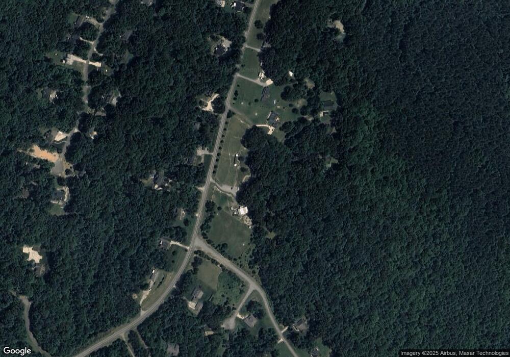
Map
Nearby Homes
- 1615 Oak Park Ct
- 0 Wolf Rd Unit 8
- 5039 Penn Rd
- Lot #42 Sardis Ct
- 5038 Arden Gate Dr
- 1785 Doe Ct
- 1485 Adkin Dr
- 1789 Doe Ct
- Lot 156 Cocker Spaniel Ct
- 0 Great Dane Ave Unit CAR4157929
- 5748 Dalmatian St
- 0 Lhasa Apso Ln Unit CAR4157960
- 0 Lhasa Apso Ln Unit CAR4157956
- 5756 Dalmatian St
- 601 Lhasa Apso Ln
- 5716 Dalmatian St
- 0 Dalmatian St Unit CAR4157812
- 4859 Paysour Pond Rd
- 5843 Dachshund St
- 1279 Craig Dr
- 5361 Fleenor Way
- 980 Brevard Place Rd
- 968 Brevard Place Rd
- 971 Brevard Place Rd
- 961 Brevard Place Rd
- 1026 Brevard Place Rd
- 5358 Fleenor Way
- Lot 24 Brevard Place Rd
- 958 Brevard Place Rd
- 5376 Fleenor Way
- 0 Oak Park Ct Unit 22
- 0 Oak Park Ct Unit CAR4163499
- 1048 Brevard Place Rd
- Lot 16 Prescott Rd
- Lots 20 & Ashmere Dr
- 1875 Ashmere Dr
- 17 Prescott Dr
- 935 Brevard Place Rd
- 910 Brevard Place Rd
- 1065 Brevard Place Rd