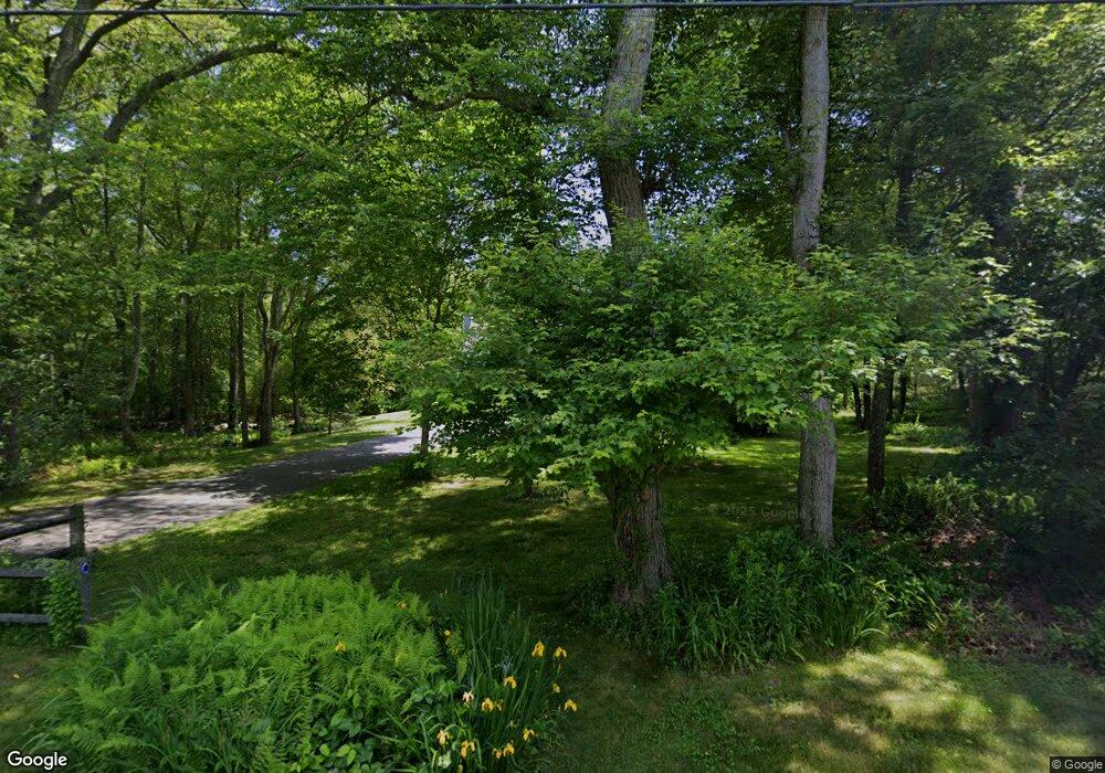
1041 Broad Rock Rd Wakefield, RI 02879
Estimated Value: $621,000 - $851,000
2
Beds
3
Baths
1,770
Sq Ft
$406/Sq Ft
Est. Value
About This Home
This home is located at 1041 Broad Rock Rd, Wakefield, RI 02879 and is currently estimated at $718,281, approximately $405 per square foot. 1041 Broad Rock Rd is a home located in Washington County with nearby schools including South Kingstown High School, Kingston Hill Academy, and Monsignor Matthew Clarke Catholic Regional School.
Ownership History
Date
Name
Owned For
Owner Type
Purchase Details
Closed on
Oct 3, 1994
Sold by
Archer Susan As
Bought by
Williams Sammie and Williams Julie
Current Estimated Value
Purchase Details
Closed on
Dec 1, 1989
Sold by
Downing Corp
Bought by
Palyo Alexander J
Create a Home Valuation Report for This Property
The Home Valuation Report is an in-depth analysis detailing your home's value as well as a comparison with similar homes in the area
Home Values in the Area
Average Home Value in this Area
Purchase History
| Date | Buyer | Sale Price | Title Company |
|---|---|---|---|
| Williams Sammie | $178,000 | -- | |
| Palyo Alexander J | $215,000 | -- |
Source: Public Records
Mortgage History
| Date | Status | Borrower | Loan Amount |
|---|---|---|---|
| Open | Palyo Alexander J | $168,500 | |
| Closed | Palyo Alexander J | $148,000 | |
| Closed | Palyo Alexander J | $163,000 |
Source: Public Records
Tax History
| Year | Tax Paid | Tax Assessment Tax Assessment Total Assessment is a certain percentage of the fair market value that is determined by local assessors to be the total taxable value of land and additions on the property. | Land | Improvement |
|---|---|---|---|---|
| 2025 | $4,786 | $535,400 | $210,500 | $324,900 |
| 2024 | $4,940 | $447,100 | $163,000 | $284,100 |
| 2023 | $4,940 | $447,100 | $163,000 | $284,100 |
| 2022 | $4,896 | $447,100 | $163,000 | $284,100 |
| 2021 | $4,998 | $345,900 | $134,900 | $211,000 |
| 2020 | $4,998 | $345,900 | $134,900 | $211,000 |
| 2019 | $4,998 | $345,900 | $134,900 | $211,000 |
| 2018 | $4,770 | $304,200 | $130,500 | $173,700 |
| 2017 | $4,657 | $304,200 | $130,500 | $173,700 |
| 2016 | $4,590 | $304,200 | $130,500 | $173,700 |
| 2015 | $4,642 | $299,100 | $123,200 | $175,900 |
| 2014 | $4,630 | $299,100 | $123,200 | $175,900 |
Source: Public Records
Map
Nearby Homes
- 95 S Woods Dr
- 261 Saugatucket Rd
- 0 Indian Trail Trail S Unit 1389828
- 0 Indian Run Trail Unit 1403300
- 9 Edwards Ave
- 15 Jessica Ln
- 57 Rocky Brook Way
- 416 Bridgetown Rd
- 5 Wayland Trail
- 301 Church St Unit 103
- 125 Montauk Rd
- 604 Stony Fort Rd
- 48 Stone Bridge Dr
- 106 S Bay Dr
- 1729 South Rd Unit C
- 54 Isabelle Dr
- 1724 South Rd
- 78 Conservatory Way Unit 78
- 131 Columbia St
- 143 Summit Ave
- 1021 Broad Rock Rd
- 1050 Broad Rock Rd
- 1030 Broad Rock Rd
- 1020 Broad Rock Rd
- 21 Angela Ln
- 993 Broad Rock Rd
- 1080 Broad Rock Rd
- 1000 Broad Rock Rd
- 61 Erin Dr
- 47 Erin Dr
- 35 Erin Dr
- 39 Angela Ln
- 23 Erin Dr
- 990 Broad Rock Rd
- 91 Erin Dr
- 7 Erin Dr
- 1121 Broad Rock Rd
- 1110 Broad Rock Rd
- 105 Erin Dr
- 48 Erin Dr
Your Personal Tour Guide
Ask me questions while you tour the home.