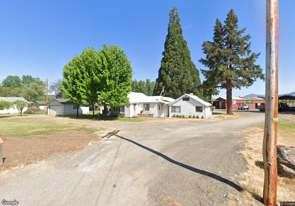
1041 Brownsboro Hwy Eagle Point, OR 97524
Estimated Value: $445,000 - $477,000
3
Beds
2
Baths
1,763
Sq Ft
$262/Sq Ft
Est. Value
About This Home
This home is located at 1041 Brownsboro Hwy, Eagle Point, OR 97524 and is currently estimated at $461,648, approximately $261 per square foot. 1041 Brownsboro Hwy is a home located in Jackson County with nearby schools including Eagle Rock Elementary School, Eagle Point Middle School, and White Mountain Middle School.
Ownership History
Date
Name
Owned For
Owner Type
Purchase Details
Closed on
Feb 13, 2018
Sold by
Burns Douglas D
Bought by
Douglas And Diane Burns Trust and Burns
Current Estimated Value
Purchase Details
Closed on
Jun 12, 2017
Sold by
Burns Douglas D E
Bought by
Burns Douglas D
Create a Home Valuation Report for This Property
The Home Valuation Report is an in-depth analysis detailing your home's value as well as a comparison with similar homes in the area
Home Values in the Area
Average Home Value in this Area
Purchase History
| Date | Buyer | Sale Price | Title Company |
|---|---|---|---|
| Douglas And Diane Burns Trust | -- | None Listed On Document | |
| Burns Douglas D | -- | None Available |
Source: Public Records
Tax History Compared to Growth
Tax History
| Year | Tax Paid | Tax Assessment Tax Assessment Total Assessment is a certain percentage of the fair market value that is determined by local assessors to be the total taxable value of land and additions on the property. | Land | Improvement |
|---|---|---|---|---|
| 2025 | $1,557 | $132,511 | $12,451 | $120,060 |
| 2024 | $1,557 | $128,769 | $12,209 | $116,560 |
| 2023 | $1,089 | $95,832 | $33,702 | $62,130 |
| 2022 | $1,508 | $128,622 | $12,062 | $116,560 |
| 2021 | $1,467 | $124,998 | $11,828 | $113,170 |
| 2020 | $1,583 | $121,479 | $11,599 | $109,880 |
| 2019 | $1,566 | $114,743 | $11,163 | $103,580 |
| 2018 | $1,533 | $111,526 | $10,956 | $100,570 |
| 2017 | $1,490 | $111,526 | $10,956 | $100,570 |
| 2016 | $1,446 | $105,362 | $10,552 | $94,810 |
| 2015 | $1,374 | $98,242 | $20,822 | $77,420 |
| 2014 | $1,253 | $91,313 | $19,323 | $71,990 |
Source: Public Records
Map
Nearby Homes
- 144 Reese Creek Rd
- 407 Canyon Way
- 633 E Archwood Dr Unit 89
- 633 E Archwood Dr Unit 1
- 633 E Archwood Dr Unit 60
- 633 E Archwood Dr Unit 44
- 633 E Archwood Dr Unit 131
- 633 E Archwood Dr Unit 12
- 633 E Archwood Dr Unit 84
- 633 E Archwood Dr Unit 130
- 633 E Archwood Dr Unit 128
- 611 Andrea Way
- 276 Candis Dr
- 0 Reese Creek Rd Unit 23882206
- 278 Cambridge Terrace
- 277 Cambridge Terrace
- 211 N Shasta Ave Unit A-H
- 200 N Shasta Ave
- 142 Onyx St
- 218 Cambridge Terrace
- 1011 Brownsboro Hwy
- 1040 Brownsboro Hwy
- 881 Brownsboro-Eagle Point Hwy
- 0 Brownsboro-Eagle Point Hwy
- 965 Brownsboro Hwy
- 1000 Brownsboro Hwy
- 1010 Brownsboro Hwy
- 936 Brownsboro Hwy
- 867 Brownsboro Hwy
- 826 Brownsboro Hwy
- 828 Brownsboro Hwy
- 777 Brownsboro Hwy
- 841 Brownsboro Hwy
- 770 Brownsboro Hwy
- 306 Sandi Way
- 312 Sandi Way
- 188 Reese Creek Rd
- 318 Sandi Way
- 324 Sandi Way
- 330 Sandi Way