1041 Chieftain Way White Plains, GA 30678
Estimated Value: $969,000 - $1,361,000
--
Bed
2
Baths
2,367
Sq Ft
$517/Sq Ft
Est. Value
About This Home
This home is located at 1041 Chieftain Way, White Plains, GA 30678 and is currently estimated at $1,223,870, approximately $517 per square foot. 1041 Chieftain Way is a home located in Greene County with nearby schools including Greene County High School.
Ownership History
Date
Name
Owned For
Owner Type
Purchase Details
Closed on
Sep 5, 2017
Sold by
Tufts Hughes Janice
Bought by
1041 Chieftain Way Llc
Current Estimated Value
Purchase Details
Closed on
Aug 23, 1990
Sold by
Hughes Albert W
Bought by
Hughes Janice Tufts
Purchase Details
Closed on
Jan 1, 1984
Sold by
Lassiter Properties Inc
Bought by
Hughes Albert W
Purchase Details
Closed on
Jan 1, 1983
Bought by
Lassiter Properties Inc
Create a Home Valuation Report for This Property
The Home Valuation Report is an in-depth analysis detailing your home's value as well as a comparison with similar homes in the area
Home Values in the Area
Average Home Value in this Area
Purchase History
| Date | Buyer | Sale Price | Title Company |
|---|---|---|---|
| 1041 Chieftain Way Llc | -- | -- | |
| Hughes Albert Wellwood | -- | -- | |
| Hughes Janice Tufts | -- | -- | |
| Hughes Albert W | -- | -- | |
| Lassiter Properties Inc | $300,000 | -- |
Source: Public Records
Tax History Compared to Growth
Tax History
| Year | Tax Paid | Tax Assessment Tax Assessment Total Assessment is a certain percentage of the fair market value that is determined by local assessors to be the total taxable value of land and additions on the property. | Land | Improvement |
|---|---|---|---|---|
| 2024 | $6,494 | $404,600 | $312,480 | $92,120 |
| 2023 | $6,441 | $401,800 | $312,480 | $89,320 |
| 2022 | $5,091 | $280,720 | $200,800 | $79,920 |
| 2021 | $4,763 | $245,600 | $174,000 | $71,600 |
| 2020 | $3,743 | $172,800 | $106,920 | $65,880 |
| 2019 | $3,847 | $172,800 | $106,920 | $65,880 |
| 2018 | $3,831 | $172,800 | $106,920 | $65,880 |
| 2017 | $3,590 | $172,882 | $106,920 | $65,962 |
| 2016 | $3,627 | $174,688 | $106,920 | $67,768 |
| 2015 | $3,611 | $174,688 | $106,920 | $67,768 |
| 2014 | $3,512 | $166,221 | $106,920 | $59,301 |
Source: Public Records
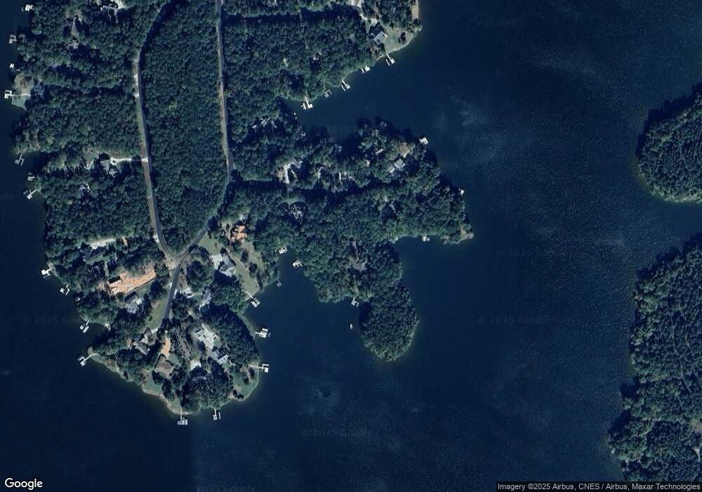
Map
Nearby Homes
- 1250 Cherokee Trail
- 1321 Clearwater Ln
- Lot 45 Oconee Landing Dr
- lot 44 Oconee Landing Dr
- Lot 43 1030 Bay View Ct
- 1691 White Oak Dr
- 1061 Clearwater Dr
- 1511 White Oak Dr
- 1041 Emerald Shores Dr
- 1010 Emerald Shores Dr
- 262 N Rock Island Dr
- 2001 Flat Rock Church Rd
- 264 Winding River Rd
- 1953 Flat Rock Church Rd
- 1889 Flat Rock Church Rd
- 1809 Flat Rock Church Rd
- 1061 Chieftain Way
- 1021 Chieftain Way
- 1050 Chieftain Way
- 1060 Chieftain Way
- 1060 Chieftian Way
- 1071 Chieftain Way
- 1020 Chieftain Way
- 1011 Chieftain Way
- 1280 Cherokee Trail
- 1280 Cherokee Trail Unit 45A
- 1290 Cherokee Dr
- 1290 Cherokee Trail
- 1290 Cherokee Trail Unit 46A
- 1000 Quail Hollow
- 1021 Tomahawk Ct
- 1240 Cherokee Trail
- 1020 Quail Hollow
- 0 Quail Hollow
- 1030 Quail Hollow
- 1030 Quail Hollow Unit 3A