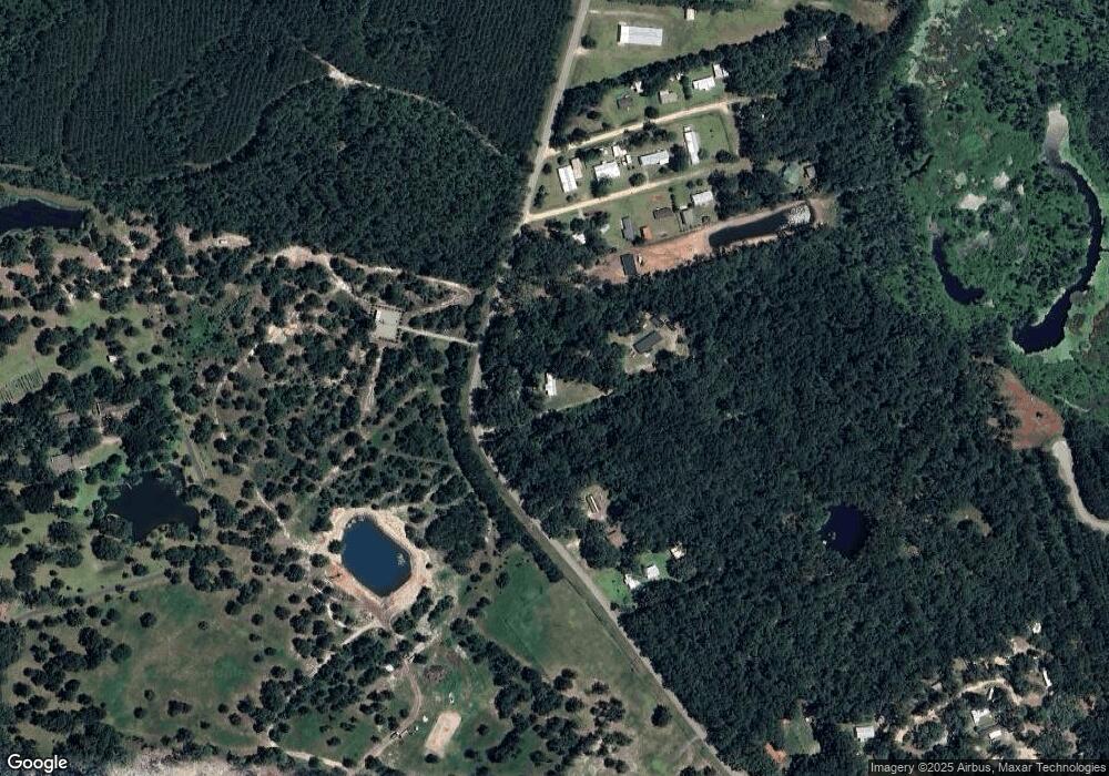
1041 Earnest Holmes Rd NE Townsend, GA 31331
Estimated Value: $212,000 - $239,000
5
Beds
1
Bath
1,100
Sq Ft
$205/Sq Ft
Est. Value
About This Home
This home is located at 1041 Earnest Holmes Rd NE, Townsend, GA 31331 and is currently estimated at $225,500, approximately $205 per square foot. 1041 Earnest Holmes Rd NE is a home located in McIntosh County with nearby schools including Todd Grant Elementary School, McIntosh County Middle School, and McIntosh County Academy.
Ownership History
Date
Name
Owned For
Owner Type
Purchase Details
Closed on
Apr 22, 2016
Sold by
Scott Sandra B
Bought by
Howard Angela Denise
Current Estimated Value
Purchase Details
Closed on
Oct 15, 2014
Sold by
Holmes Mary M
Bought by
Scott Sandra B and Scott Taylor Meatta Z
Purchase Details
Closed on
Apr 6, 2011
Sold by
Brooks Lois Ann
Bought by
Holmes Mary M
Purchase Details
Closed on
Oct 7, 2009
Sold by
Holmes Mary M
Bought by
Brooks Lois Ann and Taylor Meatta
Purchase Details
Closed on
Oct 10, 2007
Sold by
Brooks Lois
Bought by
Holmes Mary
Purchase Details
Closed on
Sep 12, 2007
Sold by
Morris Yvonne
Bought by
Holmes Mary
Purchase Details
Closed on
Sep 4, 2007
Sold by
Scott Sandra
Bought by
Holmes Mary
Purchase Details
Closed on
Aug 27, 2007
Sold by
Taylor Meatta
Bought by
Holmes Mary
Purchase Details
Closed on
Aug 5, 2002
Sold by
Holmes Mary M
Bought by
Holmes Mary M and Holmes
Create a Home Valuation Report for This Property
The Home Valuation Report is an in-depth analysis detailing your home's value as well as a comparison with similar homes in the area
Home Values in the Area
Average Home Value in this Area
Purchase History
| Date | Buyer | Sale Price | Title Company |
|---|---|---|---|
| Howard Angela Denise | -- | -- | |
| Scott Sandra B | -- | -- | |
| Holmes Mary M | -- | -- | |
| Brooks Lois Ann | -- | -- | |
| Holmes Mary | -- | -- | |
| Holmes Mary | -- | -- | |
| Holmes Mary | -- | -- | |
| Holmes Mary | -- | -- | |
| Holmes Mary M | -- | -- |
Source: Public Records
Tax History Compared to Growth
Tax History
| Year | Tax Paid | Tax Assessment Tax Assessment Total Assessment is a certain percentage of the fair market value that is determined by local assessors to be the total taxable value of land and additions on the property. | Land | Improvement |
|---|---|---|---|---|
| 2024 | $931 | $28,080 | $3,920 | $24,160 |
| 2023 | $901 | $26,880 | $3,560 | $23,320 |
| 2022 | $799 | $23,240 | $3,400 | $19,840 |
| 2021 | $622 | $23,400 | $3,400 | $20,000 |
| 2020 | $800 | $23,000 | $3,400 | $19,600 |
| 2019 | $736 | $21,960 | $3,400 | $18,560 |
| 2018 | $584 | $21,960 | $3,400 | $18,560 |
| 2017 | $627 | $20,960 | $3,400 | $17,560 |
| 2016 | $709 | $20,960 | $3,400 | $17,560 |
| 2015 | $752 | $23,435 | $4,551 | $18,884 |
| 2014 | $380 | $27,084 | $8,200 | $18,884 |
Source: Public Records
Map
Nearby Homes
- 1067 Polson Cir NE
- 1077 Polson Cir NE
- 7389 Shellman Bluff Rd NE
- 1112 Moore Haven Circle North E
- 1076 Blue Marlin Dr NE
- 7272 Shellman Bluff Rd NE Unit 14
- 7272 Shellman Bluff Rd NE Unit 21
- 7272 Shellman Bluff Rd NE
- 1090 Blue Marlin Dr NE
- 1112 Blue Marlin Dr NE
- xx Sapelo Park Dr NE
- 1069 Shellman Hammock Dr NE
- 891 Dolphin Ct
- 1045 Par Dr NE
- 1079 Mayflower Rd NE
- 1033 Mayflower Rd NE Unit A
- Lot 130 Sapelo Park Dr NE
- Lot 111 Mulligan Dr NE
- Lot 129 Sapelo Park NE
- Lot 266 NE Coopers Point Dr NE
- 3731 Old Shellman Rd NE
- 3887 Old Shellman Rd NE
- 1026 Polson Cir NE
- Lot 8 Polson Cir
- 1050 NE Polson Cir
- 1066 Polson Cir NE
- 1041 Polson Cir NE
- 3947 Old Shellman Rd NE
- 1092 Polson Cir NE
- 3913 Old Shellman Rd NE
- 1214 Polson Cir NE
- 1186 Polson Cir NE
- 1132 Polson Cir NE
- 1164 Polson Cir NE
- Tract 2 Old Shellman Bluff Rd NE
- 2143 Old Shellman Rd NE
- 2143 Old Shellman Rd NE
- 0 Old Shellman Bluff Rd Unit 20153637
- 1158 Polson Cir NE
- 4083 Old Shellman Rd NE
