1041 Highpoint Trail Laurel, MD 20707
Estimated Value: $535,000 - $599,000
Studio
2
Baths
1,752
Sq Ft
$330/Sq Ft
Est. Value
About This Home
This home is located at 1041 Highpoint Trail, Laurel, MD 20707 and is currently estimated at $578,230, approximately $330 per square foot. 1041 Highpoint Trail is a home with nearby schools including Bond Mill Elementary, Martin Luther King Jr. Middle School, and Laurel High School.
Ownership History
Date
Name
Owned For
Owner Type
Purchase Details
Closed on
Dec 30, 2022
Sold by
Drb Group Mid-Atlantic Llc
Bought by
Council Casey Levern and Council Jessica Mercedes Dia
Current Estimated Value
Home Financials for this Owner
Home Financials are based on the most recent Mortgage that was taken out on this home.
Original Mortgage
$556,930
Outstanding Balance
$538,227
Interest Rate
6.33%
Mortgage Type
FHA
Estimated Equity
$40,003
Purchase Details
Closed on
Jul 19, 2022
Sold by
Strittmatter Contee Llc
Bought by
Drb Group Mid-Atlantic Llc
Create a Home Valuation Report for This Property
The Home Valuation Report is an in-depth analysis detailing your home's value as well as a comparison with similar homes in the area
Home Values in the Area
Average Home Value in this Area
Purchase History
| Date | Buyer | Sale Price | Title Company |
|---|---|---|---|
| Council Casey Levern | $567,205 | Keystone Title | |
| Drb Group Mid-Atlantic Llc | $519,407 | -- | |
| Drb Group Mid-Atlantic Llc | $519,407 | None Listed On Document |
Source: Public Records
Mortgage History
| Date | Status | Borrower | Loan Amount |
|---|---|---|---|
| Open | Council Casey Levern | $556,930 |
Source: Public Records
Tax History
| Year | Tax Paid | Tax Assessment Tax Assessment Total Assessment is a certain percentage of the fair market value that is determined by local assessors to be the total taxable value of land and additions on the property. | Land | Improvement |
|---|---|---|---|---|
| 2025 | $10,274 | $500,600 | $135,000 | $365,600 |
| 2024 | $10,274 | $499,900 | -- | -- |
| 2023 | $10,204 | $499,200 | $0 | $0 |
| 2022 | $348 | $16,200 | $16,200 | $0 |
| 2021 | $348 | $16,200 | $16,200 | $0 |
| 2020 | $326 | $16,200 | $16,200 | $0 |
Source: Public Records
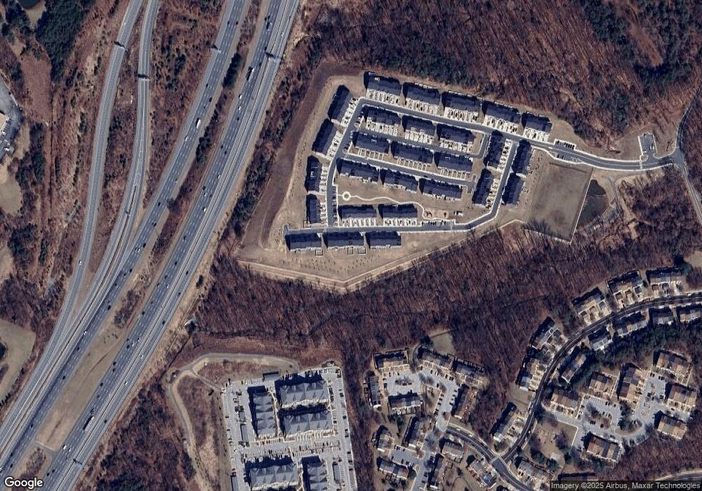
Map
Nearby Homes
- 1012 Flester Ln
- 1016 Flester Ln
- 1106 Overlook Way
- 1024 Flester Ln
- 1027 Overlook Way
- 1023 Flester Ln
- 14309 Bonnett Ln
- 6947 Mayfair Terrace
- 14847 Willow Run Ln
- 14730 Spring Haven Ln
- 14502 Star View Ln
- 14717 Exbury Ln
- 13905 Anderson Garden Rd
- 13901 Anderson Garden Rd
- 7232 Contee Rd
- 7234 Contee Rd
- 7238 Contee Rd
- 7240 Contee Rd
- Elmwood Rear Load Garage Plan at Anderson's Green
- Elmwood Front Load garage Plan at Anderson's Green
- 1039 Highpoint Trail
- 1043 Highpoint Trail
- 1045 Highpoint Trail
- 1037 Highpoint Trail
- 1047 Highpoint Trail
- 1035 Highpoint Trail
- 1049 Highpoint Trail
- 1033 Highpoint Trail
- 1052 Highpoint Trail
- 1050 Highpoint Trail
- 1054 Highpoint Trail
- 1048 Highpoint Trail
- 1051 Highpoint Trail
- 1031 Highpoint Trail
- 1046 Highpoint Trail
- HOMESITE 180 Highpoint Trail
- 1044 Highpoint Trail
- 1029 Highpoint Trail
- 1053 Highpoint Trail
- 1042 Highpoint Trail
Your Personal Tour Guide
Ask me questions while you tour the home.