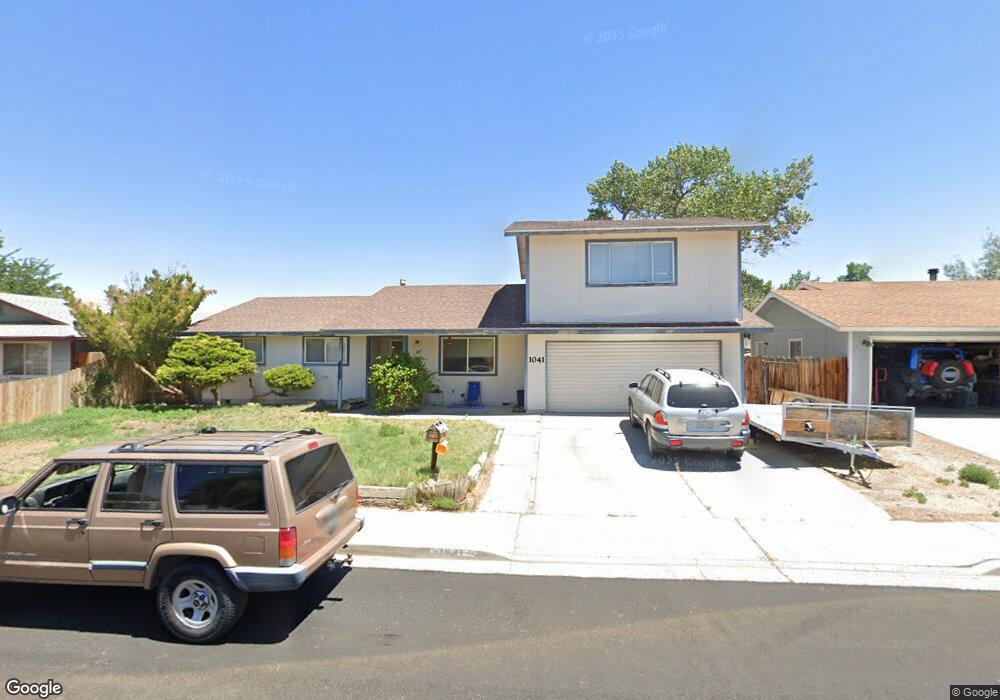
1041 James Ln Fallon, NV 89406
Estimated Value: $325,000 - $349,000
4
Beds
3
Baths
1,844
Sq Ft
$180/Sq Ft
Est. Value
About This Home
This home is located at 1041 James Ln, Fallon, NV 89406 and is currently estimated at $332,048, approximately $180 per square foot. 1041 James Ln is a home located in Churchill County with nearby schools including Lahontan Elementary School, E.C. Best Elementary School, and Numa Elementary School.
Ownership History
Date
Name
Owned For
Owner Type
Purchase Details
Closed on
Oct 19, 2022
Sold by
Cates Rodney S
Bought by
Rodney S Cates Living Trust
Current Estimated Value
Purchase Details
Closed on
Oct 13, 2005
Sold by
Leeper Audri Rene
Bought by
Cates Rodney S
Home Financials for this Owner
Home Financials are based on the most recent Mortgage that was taken out on this home.
Original Mortgage
$165,750
Interest Rate
7.62%
Mortgage Type
Adjustable Rate Mortgage/ARM
Create a Home Valuation Report for This Property
The Home Valuation Report is an in-depth analysis detailing your home's value as well as a comparison with similar homes in the area
Home Values in the Area
Average Home Value in this Area
Purchase History
| Date | Buyer | Sale Price | Title Company |
|---|---|---|---|
| Rodney S Cates Living Trust | -- | -- | |
| Cates Rodney S | $195,000 | Stewart Title Company |
Source: Public Records
Mortgage History
| Date | Status | Borrower | Loan Amount |
|---|---|---|---|
| Previous Owner | Cates Rodney S | $165,750 |
Source: Public Records
Tax History
| Year | Tax Paid | Tax Assessment Tax Assessment Total Assessment is a certain percentage of the fair market value that is determined by local assessors to be the total taxable value of land and additions on the property. | Land | Improvement |
|---|---|---|---|---|
| 2025 | $1,366 | $42,141 | $13,650 | $28,491 |
| 2024 | $1,366 | $42,418 | $12,950 | $29,468 |
| 2023 | $1,366 | $40,566 | $12,250 | $28,316 |
| 2022 | $1,227 | $33,300 | $8,050 | $25,250 |
| 2021 | $1,216 | $33,005 | $8,050 | $24,955 |
| 2020 | $1,250 | $34,018 | $8,050 | $25,968 |
| 2019 | $1,214 | $33,850 | $8,050 | $25,800 |
| 2018 | $1,179 | $33,576 | $8,050 | $25,526 |
| 2017 | $1,131 | $32,489 | $6,475 | $26,014 |
| 2016 | $1,103 | $30,963 | $6,475 | $24,488 |
| 2015 | $1,082 | $28,503 | $6,475 | $22,028 |
| 2014 | $1,048 | $27,422 | $7,000 | $20,422 |
Source: Public Records
Map
Nearby Homes
- 1009 Deena Way
- 521 Whitaker Ln
- 1291 S Taylor St
- 360 & 360 1/2 W Virginia St
- 861 W Center St
- 841 W Center St
- 1091 Tiffany Dr
- 250 S Taylor St
- 1.55 Acres on S Maine St
- 65 S Bailey St
- 1205 S Maine St Unit 20
- 1205 S Maine St Unit 21
- 1205 S Maine St Unit 18
- 345 Lincoln St
- 635 Churchill St
- 687 Douglas St
- 301 Tolas Place Unit 8
- 12017 Power Line Rd
- 361 Silver Spur Dr Unit 181155
- 1044 Allen Rd
Your Personal Tour Guide
Ask me questions while you tour the home.