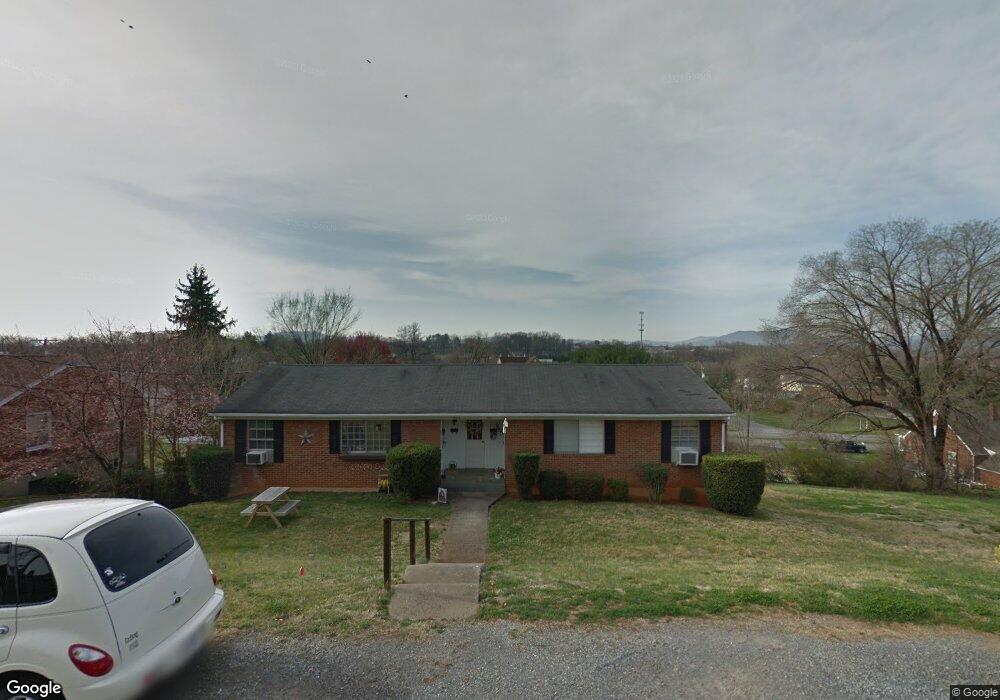
1041 Jeanette Ave Unit 1043 Vinton, VA 24179
Estimated Value: $247,041 - $257,000
4
Beds
2
Baths
1,580
Sq Ft
$160/Sq Ft
Est. Value
About This Home
This home is located at 1041 Jeanette Ave Unit 1043, Vinton, VA 24179 and is currently estimated at $252,260, approximately $159 per square foot. 1041 Jeanette Ave Unit 1043 is a home located in Roanoke County with nearby schools including Herman L. Horn Elementary School, William Byrd Middle School, and William Byrd High School.
Ownership History
Date
Name
Owned For
Owner Type
Purchase Details
Closed on
May 24, 2022
Sold by
M & W Properties Inc
Bought by
Mcleod Family Foundation Inc
Current Estimated Value
Home Financials for this Owner
Home Financials are based on the most recent Mortgage that was taken out on this home.
Original Mortgage
$1,014,300
Outstanding Balance
$963,563
Interest Rate
5.25%
Mortgage Type
New Conventional
Estimated Equity
-$711,303
Create a Home Valuation Report for This Property
The Home Valuation Report is an in-depth analysis detailing your home's value as well as a comparison with similar homes in the area
Home Values in the Area
Average Home Value in this Area
Purchase History
| Date | Buyer | Sale Price | Title Company |
|---|---|---|---|
| Mcleod Family Foundation Inc | $1,267,183 | Fidelity National Title |
Source: Public Records
Mortgage History
| Date | Status | Borrower | Loan Amount |
|---|---|---|---|
| Open | Mcleod Family Foundation Inc | $1,014,300 |
Source: Public Records
Tax History Compared to Growth
Tax History
| Year | Tax Paid | Tax Assessment Tax Assessment Total Assessment is a certain percentage of the fair market value that is determined by local assessors to be the total taxable value of land and additions on the property. | Land | Improvement |
|---|---|---|---|---|
| 2025 | $1,909 | $185,300 | $50,000 | $135,300 |
| 2024 | $1,762 | $169,400 | $40,000 | $129,400 |
| 2023 | $1,724 | $162,600 | $40,000 | $122,600 |
| 2022 | $1,622 | $148,800 | $38,400 | $110,400 |
| 2021 | $1,530 | $140,400 | $33,600 | $106,800 |
| 2020 | $1,491 | $136,800 | $33,600 | $103,200 |
| 2019 | $1,464 | $134,300 | $33,600 | $100,700 |
| 2018 | $1,444 | $133,700 | $33,600 | $100,100 |
| 2017 | $1,444 | $132,500 | $33,600 | $98,900 |
| 2016 | $1,485 | $136,200 | $33,600 | $102,600 |
| 2015 | $1,579 | $144,900 | $33,600 | $111,300 |
| 2014 | $1,548 | $142,000 | $33,600 | $108,400 |
Source: Public Records
Map
Nearby Homes
- 1195 Fairmont Dr
- 0 Breezewood Cir
- 221 Minnie Bell Ln
- 1213 Hardy Rd
- 517 Dillon Dr
- 1012 Almond Dr
- 1619 Bush Farm Dr
- 1711 Bush Farm Dr
- 305 Meadow St
- 410 N Blair St
- 344 Elm St
- 226 Bush Dr
- 425 Jefferson Ave
- 520 Chestnut St
- 762 Kenyon Rd
- 646 E Augusta Ave
- 725 Ramada Rd
- 543 Greenway Landing Place
- TBD Chestnut St
- 0 Chestnut St
- 1045 Jeanette Ave
- 1040 E Washington Ave
- 1036 E Washington Ave
- 1042 E Washington Ave
- 1036 Jeanette Ave
- 1033 Jeanette Ave Unit 1035
- 1033 Jeanette Ave Unit 1035
- 1032 E Washington Ave
- 1044 Jeanette Ave
- 1032 Jeanette Ave
- 1101 Jeanette Ave
- 1028 E Washington Ave
- 1030 Jeanette Ave
- 1031 Jeanette Ave
- 1102 Jeanette Ave
- 1104 E Washington Ave
- 1105 Jeanette Ave
- 1037 Halliahurst Ave
- 1047 Halliahurst Ave
- 1106 Jeanette Ave