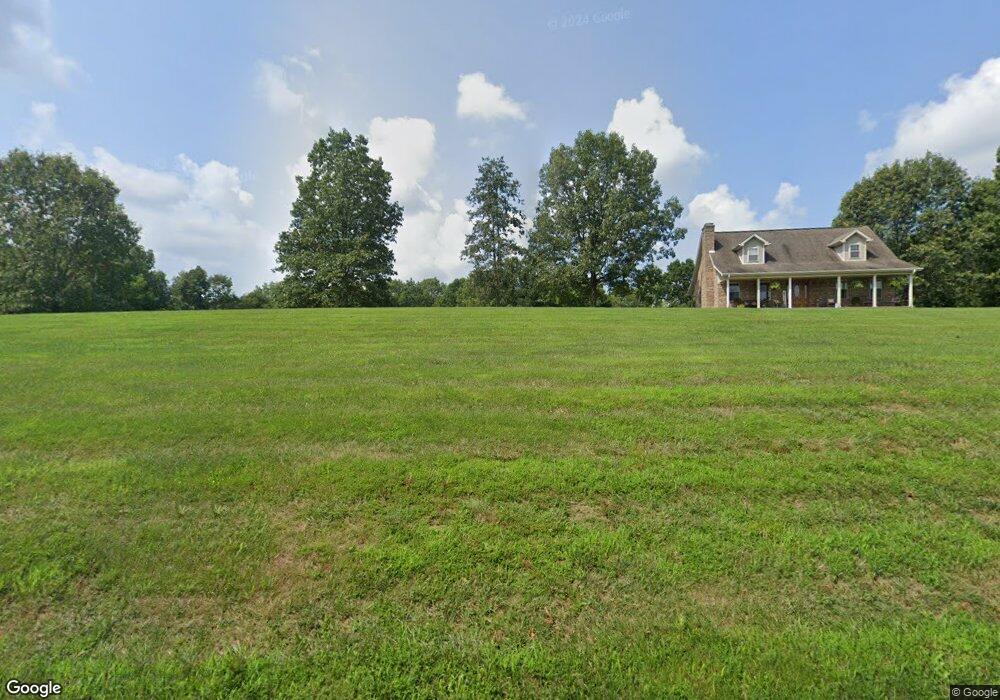
1041 Kays Ln Harrodsburg, KY 40330
Estimated Value: $138,000 - $258,000
3
Beds
2
Baths
1,512
Sq Ft
$141/Sq Ft
Est. Value
About This Home
This home is located at 1041 Kays Ln, Harrodsburg, KY 40330 and is currently estimated at $212,481, approximately $140 per square foot. 1041 Kays Ln is a home located in Washington County with nearby schools including Washington County Elementary School and Washington County High School.
Ownership History
Date
Name
Owned For
Owner Type
Purchase Details
Closed on
Aug 3, 2012
Sold by
Cloyd Edward D and Cloyd Mary P
Bought by
Mcginnis Brent
Current Estimated Value
Home Financials for this Owner
Home Financials are based on the most recent Mortgage that was taken out on this home.
Original Mortgage
$52,000
Outstanding Balance
$35,989
Interest Rate
3.65%
Mortgage Type
Purchase Money Mortgage
Estimated Equity
$176,492
Create a Home Valuation Report for This Property
The Home Valuation Report is an in-depth analysis detailing your home's value as well as a comparison with similar homes in the area
Home Values in the Area
Average Home Value in this Area
Purchase History
| Date | Buyer | Sale Price | Title Company |
|---|---|---|---|
| Mcginnis Brent | $55,000 | None Available |
Source: Public Records
Mortgage History
| Date | Status | Borrower | Loan Amount |
|---|---|---|---|
| Open | Mcginnis Brent | $52,000 |
Source: Public Records
Tax History Compared to Growth
Tax History
| Year | Tax Paid | Tax Assessment Tax Assessment Total Assessment is a certain percentage of the fair market value that is determined by local assessors to be the total taxable value of land and additions on the property. | Land | Improvement |
|---|---|---|---|---|
| 2024 | $1,565 | $150,700 | $0 | $0 |
| 2023 | $1,570 | $153,200 | $0 | $0 |
| 2022 | $1,586 | $153,200 | $0 | $0 |
| 2021 | $1,303 | $123,200 | $0 | $0 |
| 2020 | $1,316 | $123,200 | $0 | $0 |
| 2019 | $1,324 | $123,200 | $0 | $0 |
| 2018 | $1,320 | $123,200 | $0 | $0 |
| 2017 | $1,308 | $123,200 | $8,200 | $115,000 |
| 2016 | $1,313 | $123,200 | $0 | $0 |
| 2015 | -- | $123,200 | $8,200 | $115,000 |
| 2014 | $1,255 | $123,200 | $8,200 | $115,000 |
| 2010 | -- | $122,000 | $7,000 | $115,000 |
Source: Public Records
Map
Nearby Homes
- 245 Kays Rd
- 5351 Battle Rd
- 5298 Battle Rd
- 1092 Bushtown Rd
- 0 E Fork Rd
- 2050-B E Fork Rd
- 2050-D E Fork Rd
- 2050-A E Fork Rd
- 2050 E Fork Rd
- 2050-C E Fork Rd
- 0 Bushtown Rd Unit 25505644
- 271 Boswell Ln
- 3979 Baker Ridge Rd
- 10878 Cornishville Rd
- 9922 Cornishville Rd
- 1445 Harrodsburg Rd
- 9915 Cornishville Rd
- 5651 Battle Rd
- 599 Brewers Mill Rd
- 5451 Battle Rd