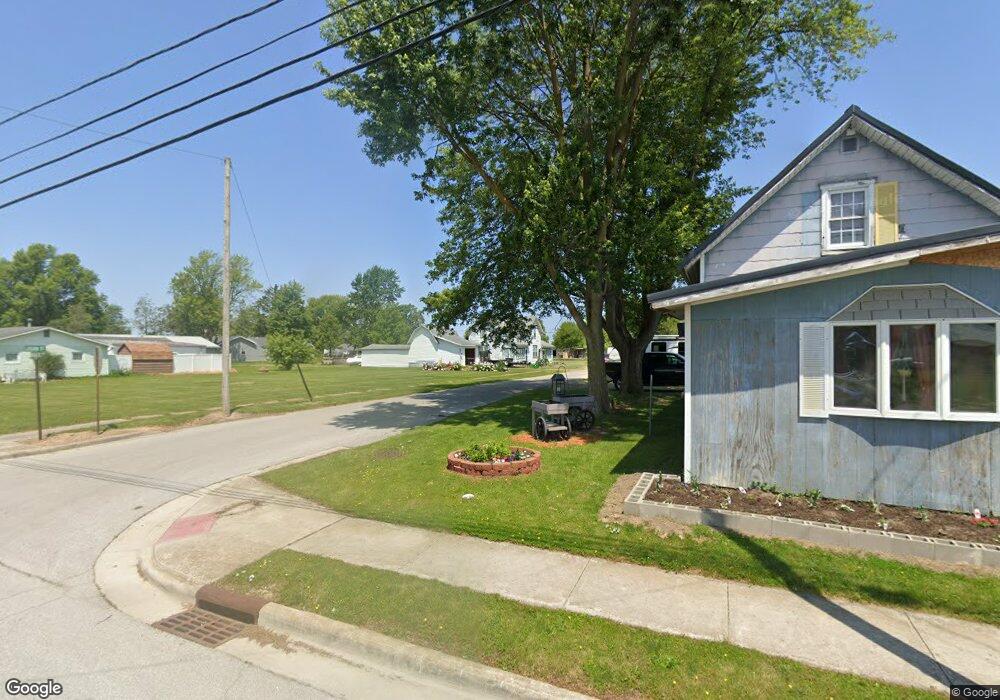
1041 Logan St Scott, OH 45886
Estimated Value: $77,277 - $178,000
5
Beds
2
Baths
1,864
Sq Ft
$73/Sq Ft
Est. Value
About This Home
This home is located at 1041 Logan St, Scott, OH 45886 and is currently estimated at $135,819, approximately $72 per square foot. 1041 Logan St is a home with nearby schools including Wayne Trace High School.
Ownership History
Date
Name
Owned For
Owner Type
Purchase Details
Closed on
May 2, 2016
Sold by
Adams Patricia M and Estate Of Joyce M Kimmel
Bought by
Trentman Jason
Current Estimated Value
Home Financials for this Owner
Home Financials are based on the most recent Mortgage that was taken out on this home.
Original Mortgage
$35,000
Outstanding Balance
$23,485
Interest Rate
5.94%
Mortgage Type
Adjustable Rate Mortgage/ARM
Estimated Equity
$112,334
Purchase Details
Closed on
May 16, 2003
Sold by
Beech Betty J
Bought by
Trentman Jason
Purchase Details
Closed on
Jan 1, 1990
Bought by
Trentman Jason
Create a Home Valuation Report for This Property
The Home Valuation Report is an in-depth analysis detailing your home's value as well as a comparison with similar homes in the area
Purchase History
| Date | Buyer | Sale Price | Title Company |
|---|---|---|---|
| Trentman Jason | $35,000 | None Available | |
| Trentman Jason | $24,500 | -- | |
| Trentman Jason | -- | -- |
Source: Public Records
Mortgage History
| Date | Status | Borrower | Loan Amount |
|---|---|---|---|
| Open | Trentman Jason | $35,000 |
Source: Public Records
Tax History
| Year | Tax Paid | Tax Assessment Tax Assessment Total Assessment is a certain percentage of the fair market value that is determined by local assessors to be the total taxable value of land and additions on the property. | Land | Improvement |
|---|---|---|---|---|
| 2025 | $512 | $15,260 | $1,540 | $13,720 |
| 2024 | $512 | $14,530 | $1,470 | $13,060 |
| 2023 | $504 | $14,530 | $1,470 | $13,060 |
| 2022 | $510 | $14,530 | $1,470 | $13,060 |
| 2021 | $318 | $8,020 | $1,230 | $6,790 |
| 2020 | $327 | $8,020 | $1,230 | $6,790 |
| 2019 | $329 | $8,020 | $1,230 | $6,790 |
| 2018 | $304 | $8,020 | $1,230 | $6,790 |
| 2017 | $308 | $8,020 | $1,230 | $6,790 |
| 2016 | $5 | $8,020 | $1,230 | $6,790 |
| 2015 | $5 | $7,880 | $1,230 | $6,650 |
| 2014 | $5 | $7,880 | $1,230 | $6,650 |
| 2013 | $5 | $7,880 | $1,230 | $6,650 |
Source: Public Records
Map
Nearby Homes
- 1067 College Ave
- 17089 Feasby Wisener Rd
- 10627 Convoy Rd
- 0 Road 72
- 308 S Jefferson St
- 6576 Elm Sugar Rd
- 201 N Main St
- 11475 Union Pleasant Rd
- 225 2nd St
- 3953 Convoy Heller Rd
- 0 Terry Rd
- 702 N Washington St
- 142 Gleason Ave
- 692 N Market St
- 200 S Cleveland St
- 634 N Market St
- 302 Shaffer St
- 222 Shaffer St
- 515 N Jefferson St
- 152 Dealey Dr
- 1048 College Ave
- 12325 Blaine St
- 360 N Sherman St
- 12359 Blaine St
- 1048 College St
- 12311 Blaine St
- 12334 Blaine St
- 12299 Blaine St
- 1051 Grant St
- 1035 Grant St
- 12344 Blaine St
- 12383 Blaine St
- 1012 Washington St
- 12352 Blaine St
- 12279 Blaine St
- 1101 Logan St
- 12296 Blaine St
- 12376 Blaine St
- 1085 Grant St
- 1036 S Washington St
Your Personal Tour Guide
Ask me questions while you tour the home.