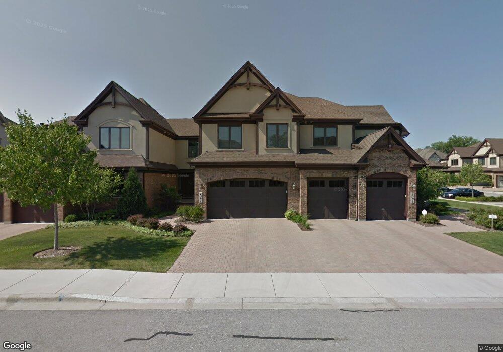
1041 Mackenzie Place Wheaton, IL 60187
Hawthorne NeighborhoodEstimated Value: $704,000 - $846,000
About This Home
This home is located at 1041 Mackenzie Place, Wheaton, IL 60187 and is currently estimated at $753,159, approximately $275 per square foot. 1041 Mackenzie Place is a home located in DuPage County with nearby schools including Washington Elementary School, Franklin Middle School, and Wheaton North High School.
Ownership History
We collect this data history from publicly available records. To have your information removed, we recommend requesting removal directly through your county’s website.
Purchase Details
Purchase Details
Home Values in the Area
Average Home Value in this Area
Purchase History
We collect this data history from publicly available records. To have your information removed, we recommend requesting removal directly through your county’s website.
| Date | Buyer | Sale Price | Title Company |
|---|---|---|---|
| -- | None Listed On Document | ||
| $490,000 | Chicago Title Land Trust Co |
Tax History
We collect this data history from publicly available records. To have your information removed, we recommend requesting removal directly through your county’s website.
| Year | Tax Paid | Tax Assessment Tax Assessment Total Assessment is a certain percentage of the fair market value that is determined by local assessors to be the total taxable value of land and additions on the property. | Land | Improvement |
|---|---|---|---|---|
| 2024 | $10,311 | $175,986 | $28,529 | $147,457 |
| 2023 | $9,866 | $161,990 | $26,260 | $135,730 |
| 2022 | $9,832 | $152,970 | $24,820 | $128,150 |
| 2021 | $9,791 | $149,340 | $24,230 | $125,110 |
| 2020 | $9,757 | $147,940 | $24,000 | $123,940 |
| 2019 | $9,524 | $144,040 | $23,370 | $120,670 |
| 2018 | $13,335 | $195,110 | $22,750 | $172,360 |
| 2017 | $13,501 | $187,910 | $21,910 | $166,000 |
| 2016 | $13,330 | $180,400 | $21,030 | $159,370 |
| 2015 | $13,238 | $172,100 | $20,060 | $152,040 |
| 2014 | $11,463 | $147,380 | $19,920 | $127,460 |
| 2013 | $11,168 | $147,820 | $19,980 | $127,840 |
Map
- 1906 Stoddard Ave
- 2009 Mackenzie Place
- 2142 N Summit St
- 525 Timber Ridge Dr Unit 306
- 2103 Nachtman Ct
- 1914 Howard St
- 523 Timber Ridge Dr Unit 204
- 500 Timber Ridge Dr Unit 202A
- 1925 Glencoe St
- 835 Avon Ct
- 532 Turf Ln
- 1711 Driving Park Rd
- 158 Derby Glen Dr
- 466 S President St Unit 304
- 462 S President St Unit 101
- 126 Stableford Dr
- 532 Ranch Rd
- 1726 Kay Rd
- 710 N Kenilworth Ave
- 621 Dunhill Ln
- 1014 Daly Rd
- 1010 Daly Rd
- 1928 Stoddard Ave
- 1926 Stoddard Ave
- 2004 Stoddard Ave
- 1060 Mackenzie Place
- 1050 Mackenzie Place
- 1918 Stoddard Ave
- 1925 N President St
- 1030 Mackenzie Place
- 2001 Mackenzie Place
- 2010 Stoddard Ave
- 1020 Mackenzie Place
- 2003 Mackenzie Place
- 1927 Stoddard Ave
- 1917 N President St
- 1014 Mackenzie Place
- 2005 Mackenzie Place
- 1911 N President St
- 1905 N President St
Ask me questions while you tour the home.