1041 Private Road 1101 Monett, MO 65708
Estimated Value: $238,000 - $269,000
--
Bed
--
Bath
1,526
Sq Ft
$166/Sq Ft
Est. Value
About This Home
This home is located at 1041 Private Road 1101, Monett, MO 65708 and is currently estimated at $253,570, approximately $166 per square foot. 1041 Private Road 1101 is a home with nearby schools including Monett Elementary School, Monett Intermediate School, and Central Park Elementary School.
Ownership History
Date
Name
Owned For
Owner Type
Purchase Details
Closed on
Oct 8, 2010
Sold by
Christen Craig Martin and Cheristen Connie
Bought by
Bounous Dennis and Bounous Patty
Current Estimated Value
Home Financials for this Owner
Home Financials are based on the most recent Mortgage that was taken out on this home.
Original Mortgage
$9,000
Outstanding Balance
$5,948
Interest Rate
4.38%
Mortgage Type
Future Advance Clause Open End Mortgage
Estimated Equity
$247,622
Purchase Details
Closed on
Jul 31, 2009
Sold by
Patton Evan and Patton Sabra
Bought by
Bounous Dennis and Bounous Patty
Home Financials for this Owner
Home Financials are based on the most recent Mortgage that was taken out on this home.
Original Mortgage
$103,000
Interest Rate
5.31%
Mortgage Type
New Conventional
Create a Home Valuation Report for This Property
The Home Valuation Report is an in-depth analysis detailing your home's value as well as a comparison with similar homes in the area
Home Values in the Area
Average Home Value in this Area
Purchase History
| Date | Buyer | Sale Price | Title Company |
|---|---|---|---|
| Bounous Dennis | -- | None Available | |
| Bounous Dennis | -- | None Available |
Source: Public Records
Mortgage History
| Date | Status | Borrower | Loan Amount |
|---|---|---|---|
| Open | Bounous Dennis | $9,000 | |
| Previous Owner | Bounous Dennis | $103,000 |
Source: Public Records
Tax History Compared to Growth
Tax History
| Year | Tax Paid | Tax Assessment Tax Assessment Total Assessment is a certain percentage of the fair market value that is determined by local assessors to be the total taxable value of land and additions on the property. | Land | Improvement |
|---|---|---|---|---|
| 2025 | $1,366 | $28,177 | $3,116 | $25,061 |
| 2024 | $1,366 | $25,954 | $3,116 | $22,838 |
| 2023 | $1,286 | $25,954 | $3,116 | $22,838 |
| 2022 | $1,200 | $24,263 | $2,698 | $21,565 |
| 2021 | $1,185 | $23,731 | $2,166 | $21,565 |
| 2020 | $1,185 | $23,289 | $1,724 | $21,565 |
| 2018 | $1,114 | $23,289 | $1,724 | $21,565 |
| 2017 | $1,093 | $22,187 | $1,724 | $20,463 |
| 2016 | $1,111 | $22,909 | $1,534 | $21,375 |
| 2015 | -- | $23,077 | $1,702 | $21,375 |
| 2014 | -- | $23,053 | $1,678 | $21,375 |
| 2012 | -- | $0 | $0 | $0 |
Source: Public Records
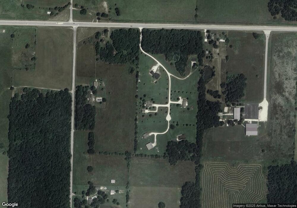
Map
Nearby Homes
- 41 Whitley Ln
- 40 Whitley Ln
- 000 W Wellington Ave
- 2379 Farm Road 1090
- 9426 Business Highway 60
- 000 County Road 1090 Unit 1090
- 000 County Road 1090
- 840 Troy Ave
- Lot 6 E Wellington Ave
- Lot 5 E Wellington Ave
- Lot 4 E Wellington Ave
- 000 Plaza Dr
- 11919 Fr 2010
- 11919 Farm Road 2010
- 000 Farm Road 2000
- 1124 Woodland Ridge Dr
- 1113 Woodland Ridge Dr
- 1107 Woodland Ridge Dr
- 1202 Woodland Ridge
- 109 N Maple
- 1043 Private Rd Unit 1101
- 1043 Private Road 1101
- 1023 Private Road 1101
- TBD Private Road 1101
- 0 Pr 1101 Unit 11205597
- 0 Pr 1101
- 0 Pr 1101
- 0 Pr 1101
- 1038 Private Road 1101
- 1044 Private Road 1101
- 1044 Pr 1101
- 1128 Farm Road 1100
- 11367 Private Road 2004
- 1380 Farm Road 1100
- 1567 Farm Road 1100
- 1599 Farm Road 1100
- Tbd E Us Highway 60
- 1330 Farm Road 1100
- 0 E Us Highway 60
- 1418 Farm Road 1100