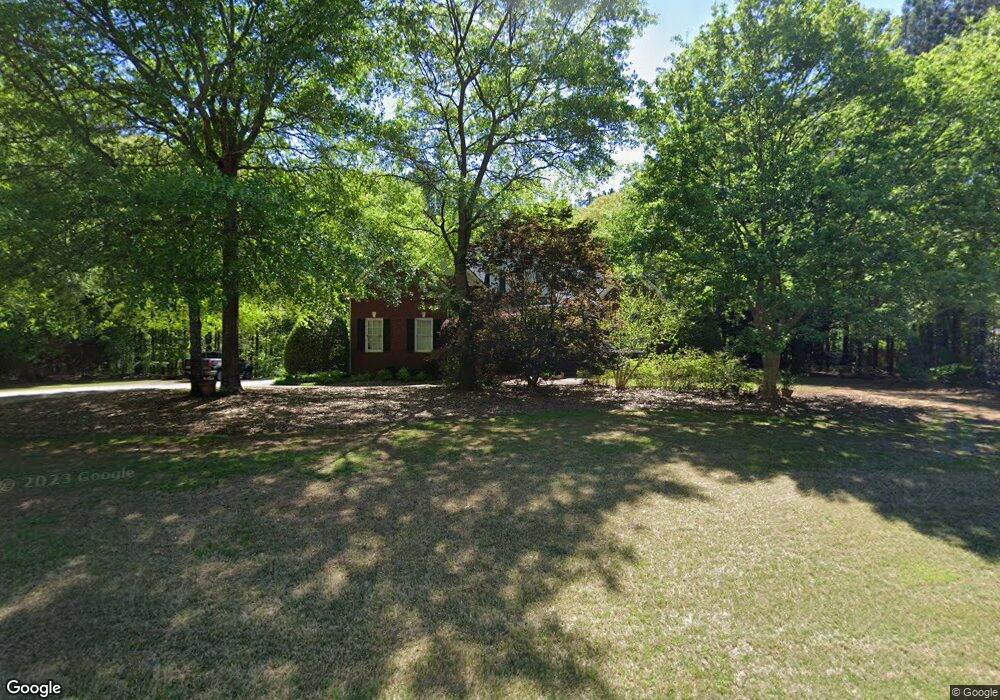
1041 Rocky Branch Farm Dr Bogart, GA 30622
Estimated Value: $622,968 - $693,000
4
Beds
4
Baths
2,672
Sq Ft
$244/Sq Ft
Est. Value
About This Home
This home is located at 1041 Rocky Branch Farm Dr, Bogart, GA 30622 and is currently estimated at $650,992, approximately $243 per square foot. 1041 Rocky Branch Farm Dr is a home located in Oconee County with nearby schools including Rocky Branch Elementary School, Malcom Bridge Middle School, and North Oconee High School.
Ownership History
Date
Name
Owned For
Owner Type
Purchase Details
Closed on
Nov 30, 2001
Sold by
High-Tol Construction Inc
Bought by
Hale Elaine M
Current Estimated Value
Purchase Details
Closed on
Aug 9, 2000
Sold by
Whitley James L
Bought by
Tolbert Russell D
Create a Home Valuation Report for This Property
The Home Valuation Report is an in-depth analysis detailing your home's value as well as a comparison with similar homes in the area
Home Values in the Area
Average Home Value in this Area
Purchase History
| Date | Buyer | Sale Price | Title Company |
|---|---|---|---|
| Hale Elaine M | $275,000 | -- | |
| Tolbert Russell D | $41,300 | -- |
Source: Public Records
Tax History Compared to Growth
Tax History
| Year | Tax Paid | Tax Assessment Tax Assessment Total Assessment is a certain percentage of the fair market value that is determined by local assessors to be the total taxable value of land and additions on the property. | Land | Improvement |
|---|---|---|---|---|
| 2024 | $3,301 | $196,962 | $36,000 | $160,962 |
| 2023 | $3,680 | $180,660 | $28,000 | $152,660 |
| 2022 | $3,452 | $161,158 | $28,000 | $133,158 |
| 2021 | $3,163 | $137,022 | $22,000 | $115,022 |
| 2020 | $2,986 | $129,166 | $20,000 | $109,166 |
| 2019 | $2,798 | $121,079 | $20,000 | $101,079 |
| 2018 | $2,792 | $118,321 | $20,000 | $98,321 |
| 2017 | $2,642 | $111,981 | $20,000 | $91,981 |
| 2016 | $2,519 | $106,787 | $20,000 | $86,787 |
| 2015 | $2,526 | $106,865 | $20,000 | $86,865 |
| 2014 | $2,494 | $103,184 | $20,000 | $83,184 |
| 2013 | -- | $100,020 | $20,000 | $80,020 |
Source: Public Records
Map
Nearby Homes
- 1496 Malcom Estates Dr
- 1224 Malcom Estates Point Unit Lot 67
- 1381 Mayfair Way
- 3065 Brookhaven Dr
- 0 Us 53 Hwy Unit 10376334
- 1895 Vintage Place
- 1491 Virgil Langford Rd
- 2165 Harperfield Dr
- 1190 Wareview Ct
- 0 Clotfelter Rd Unit 1025303
- 1105 Harperfield Dr
- 1010 Long Creek Dr
- 1496 Malcom Estates
- 1224 Malcom Estates Point Lot: 67
- 2082 Wade Dr
- 1479 Mcfall Ct
- 2163 Heather Ln
- 1071 Oaklake Cir
- 1021 Rocky Branch Farm Dr
- 1061 Rocky Branch Farm Dr
- 4A Rocky Branch Farm Dr
- 17A Rocky Branch Farm Dr
- 0 Rocky Branch Farm Dr
- 1040 Richwood Trail
- 1060 Rocky Branch Farm Dr
- 1010 Branch Farm Point
- 1011 Rocky Branch Farm Dr
- 1081 Rocky Branch Farm Dr
- 1471 Malcom Bridge Rd
- 1031 Branch Farm Pointe
- 1031 Branch Farm Point
- 1030(22) Branch Farm Pointe
- 1030 Branch Farm Point
- 1070 Richwood Trail
- 1676 Malcom Bridge Rd
- 1090 Rocky Branch Farm Dr
- 1010 Richwood Trail
- 1101 Rocky Branch Farm Dr