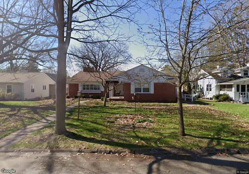
1041 Saint Austin Ave Wausau, WI 54403
Southeast Side NeighborhoodEstimated Value: $361,213 - $389,000
4
Beds
3
Baths
3,040
Sq Ft
$123/Sq Ft
Est. Value
About This Home
This home is located at 1041 Saint Austin Ave, Wausau, WI 54403 and is currently estimated at $374,553, approximately $123 per square foot. 1041 Saint Austin Ave is a home located in Marathon County with nearby schools including John Marshall Elementary School, Horace Mann Middle School, and East High School.
Ownership History
Date
Name
Owned For
Owner Type
Purchase Details
Closed on
May 17, 2024
Sold by
Aspenson Cheryl A
Bought by
David F Aspenson And Cheryl A Aspenson Revoca and Aspenson
Current Estimated Value
Purchase Details
Closed on
Aug 11, 2017
Sold by
Franck Aaron R and Franck Carla M
Bought by
Aspenson David E and Aspenson Cheryl A
Home Financials for this Owner
Home Financials are based on the most recent Mortgage that was taken out on this home.
Original Mortgage
$133,120
Interest Rate
4.03%
Mortgage Type
New Conventional
Create a Home Valuation Report for This Property
The Home Valuation Report is an in-depth analysis detailing your home's value as well as a comparison with similar homes in the area
Home Values in the Area
Average Home Value in this Area
Purchase History
| Date | Buyer | Sale Price | Title Company |
|---|---|---|---|
| David F Aspenson And Cheryl A Aspenson Revoca | -- | None Listed On Document | |
| Aspenson David E | $210,000 | None Available |
Source: Public Records
Mortgage History
| Date | Status | Borrower | Loan Amount |
|---|---|---|---|
| Previous Owner | Aspenson David E | $133,120 |
Source: Public Records
Tax History Compared to Growth
Tax History
| Year | Tax Paid | Tax Assessment Tax Assessment Total Assessment is a certain percentage of the fair market value that is determined by local assessors to be the total taxable value of land and additions on the property. | Land | Improvement |
|---|---|---|---|---|
| 2024 | $6,397 | $345,200 | $45,700 | $299,500 |
| 2023 | $5,203 | $217,600 | $41,700 | $175,900 |
| 2022 | $5,236 | $217,600 | $41,700 | $175,900 |
| 2021 | $5,047 | $217,600 | $41,700 | $175,900 |
| 2020 | $5,395 | $217,600 | $41,700 | $175,900 |
| 2019 | $5,054 | $190,400 | $35,400 | $155,000 |
| 2018 | $4,983 | $190,400 | $35,400 | $155,000 |
| 2017 | $5,741 | $226,800 | $35,400 | $191,400 |
| 2016 | $5,585 | $226,800 | $35,400 | $191,400 |
| 2015 | $5,726 | $226,800 | $35,400 | $191,400 |
| 2014 | $5,653 | $235,200 | $36,800 | $198,400 |
Source: Public Records
Map
Nearby Homes
- 1021 Graves Ave
- 715 Fleming St
- 606 Ruder St
- 421 Ruder St
- 2102 Lamont St
- 301 Weston Ave
- 1410 S 3rd Ave
- 2314 Elmwood Blvd
- 1219 Grand Ave
- 1209 Grand Ave
- 1126 S 4th Ave
- 1408 Torney Ave
- 1131 S 5th Ave
- 137 Ethel St
- 209 Schwebach St
- 236 E Ross Ave
- 917 S 6th Ave
- 427 Henrietta St
- 915 S 6th Ave
- 603 Seymour St
- 1031 Saint Austin Ave
- 1045 Saint Austin Ave
- 1029 Saint Austin Ave
- 1803 Lillie St
- 1807 Lillie St
- 1031 Weston Ave
- 1025 Saint Austin Ave
- 1803 Lillie St
- 1025 Weston Ave
- 1037 Weston Ave
- 1039 Weston Ave
- 1015 Weston Ave
- 1041 Weston Ave
- 1019 Saint Austin Ave
- 1018 Graves Ave
- 1022 Graves Ave
- 1026 Graves Ave
- 1012 Graves Ave
- 1028 Graves Ave
- 1010 Graves Ave