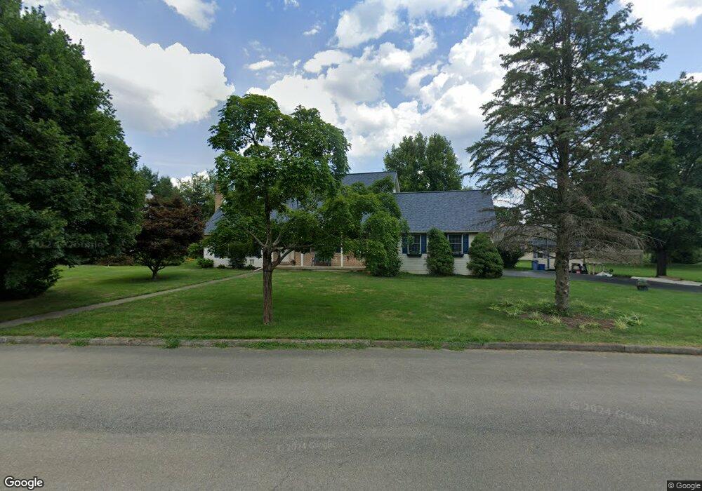
1041 Sunset View Cir Bethlehem, PA 18017
Estimated Value: $550,096 - $584,000
3
Beds
3
Baths
2,634
Sq Ft
$217/Sq Ft
Est. Value
About This Home
This home is located at 1041 Sunset View Cir, Bethlehem, PA 18017 and is currently estimated at $572,024, approximately $217 per square foot. 1041 Sunset View Cir is a home located in Northampton County with nearby schools including Nitschmann Middle School, Liberty High School, and Lehigh Valley Academy Regional Charter School.
Ownership History
Date
Name
Owned For
Owner Type
Purchase Details
Closed on
Sep 1, 1990
Bought by
Winterburn William E and Winterburn Dawn E
Current Estimated Value
Purchase Details
Closed on
Aug 1, 1987
Bought by
Not Provided
Create a Home Valuation Report for This Property
The Home Valuation Report is an in-depth analysis detailing your home's value as well as a comparison with similar homes in the area
Home Values in the Area
Average Home Value in this Area
Purchase History
| Date | Buyer | Sale Price | Title Company |
|---|---|---|---|
| Winterburn William E | $51,000 | -- | |
| Not Provided | $48,000 | -- |
Source: Public Records
Tax History Compared to Growth
Tax History
| Year | Tax Paid | Tax Assessment Tax Assessment Total Assessment is a certain percentage of the fair market value that is determined by local assessors to be the total taxable value of land and additions on the property. | Land | Improvement |
|---|---|---|---|---|
| 2025 | $1,089 | $100,800 | $23,600 | $77,200 |
| 2024 | $7,348 | $100,800 | $23,600 | $77,200 |
| 2023 | $7,374 | $100,800 | $23,600 | $77,200 |
| 2022 | $7,304 | $100,800 | $23,600 | $77,200 |
| 2021 | $7,245 | $100,800 | $23,600 | $77,200 |
| 2020 | $7,254 | $100,800 | $23,600 | $77,200 |
| 2019 | $7,224 | $100,800 | $23,600 | $77,200 |
| 2018 | $7,081 | $100,800 | $23,600 | $77,200 |
| 2017 | $7,031 | $100,800 | $23,600 | $77,200 |
| 2016 | -- | $100,800 | $23,600 | $77,200 |
| 2015 | -- | $100,800 | $23,600 | $77,200 |
| 2014 | -- | $100,800 | $23,600 | $77,200 |
Source: Public Records
Map
Nearby Homes
- 1075 W MacAda Rd
- 1215 W MacAda Rd
- 1069 Resolution Dr
- 922 Wedgewood Rd
- 2616 Pioneer Rd
- 1179 Blair Rd
- 2850 Red Oak Ln
- 1970 Rosewood Dr Unit Lot 6
- 1451 Wynnewood Dr
- 1445 Westgate Dr
- 5722 Frederick Dr Unit Stavanger III
- 5711 Frederick Dr Unit Stavanger III
- 5692 Frederick Dr Unit 47
- 5722 Frederick Dr
- 5692 Frederick Dr
- 5711 Frederick Dr
- 1247 Birchwood Dr
- 1336 Greenview Dr
- 1410 Stoke Park Rd
- 1309 Greenview Dr
- 1031 Sunset View Cir
- 1030 Bridle Path Rd
- 1050 Sunset View Cir
- 1021 Sunset View Cir
- 1050 Bridle Path Rd
- 1020 Sunset View Cir
- 1040 Sunset View Cir
- 1030 Sunset View Cir
- 1060 Bridle Path Rd
- 1125 Sunset View Dr
- 1130 Sunset View Dr
- 1110 Bridle Path Rd
- 1125 Sunset Place
- 985 Yorkshire Rd
- 1011 Yorkshire Rd
- 965 Yorkshire Rd
- 1035 Yorkshire Rd
- 1135 Sunset View Dr
- 1065 Bridle Path Rd
- 1133 Sunset Place