1041 Thomas Dr SW New Philadelphia, OH 44663
Estimated Value: $273,000 - $295,291
3
Beds
3
Baths
1,964
Sq Ft
$145/Sq Ft
Est. Value
About This Home
This home is located at 1041 Thomas Dr SW, New Philadelphia, OH 44663 and is currently estimated at $285,073, approximately $145 per square foot. 1041 Thomas Dr SW is a home located in Tuscarawas County with nearby schools including New Philadelphia High School, Quaker Preparatory Academy, and Quaker Digital Academy.
Ownership History
Date
Name
Owned For
Owner Type
Purchase Details
Closed on
Nov 10, 2008
Sold by
Parker Michael G and Parker Lori A
Bought by
Wheeler Charles J and Wheeler Justine R
Current Estimated Value
Home Financials for this Owner
Home Financials are based on the most recent Mortgage that was taken out on this home.
Original Mortgage
$167,684
Outstanding Balance
$110,126
Interest Rate
6.09%
Mortgage Type
FHA
Estimated Equity
$174,947
Purchase Details
Closed on
Jun 1, 1990
Bought by
Wheeler Charles J and Wheeler Justine R
Create a Home Valuation Report for This Property
The Home Valuation Report is an in-depth analysis detailing your home's value as well as a comparison with similar homes in the area
Home Values in the Area
Average Home Value in this Area
Purchase History
| Date | Buyer | Sale Price | Title Company |
|---|---|---|---|
| Wheeler Charles J | $169,900 | Attorney | |
| Wheeler Charles J | $18,500 | -- |
Source: Public Records
Mortgage History
| Date | Status | Borrower | Loan Amount |
|---|---|---|---|
| Open | Wheeler Charles J | $167,684 |
Source: Public Records
Tax History Compared to Growth
Tax History
| Year | Tax Paid | Tax Assessment Tax Assessment Total Assessment is a certain percentage of the fair market value that is determined by local assessors to be the total taxable value of land and additions on the property. | Land | Improvement |
|---|---|---|---|---|
| 2024 | $2,863 | $74,400 | $12,180 | $62,220 |
| 2023 | $2,863 | $212,560 | $34,800 | $177,760 |
| 2022 | $2,881 | $74,396 | $12,180 | $62,216 |
| 2021 | $2,780 | $67,550 | $9,604 | $57,946 |
| 2020 | $2,795 | $67,550 | $9,604 | $57,946 |
| 2019 | $2,792 | $67,550 | $9,604 | $57,946 |
| 2018 | $2,551 | $58,900 | $8,380 | $50,520 |
| 2017 | $2,530 | $58,900 | $8,380 | $50,520 |
| 2016 | $2,592 | $58,900 | $8,380 | $50,520 |
| 2014 | $2,444 | $53,940 | $7,610 | $46,330 |
| 2013 | $2,013 | $53,940 | $7,610 | $46,330 |
Source: Public Records
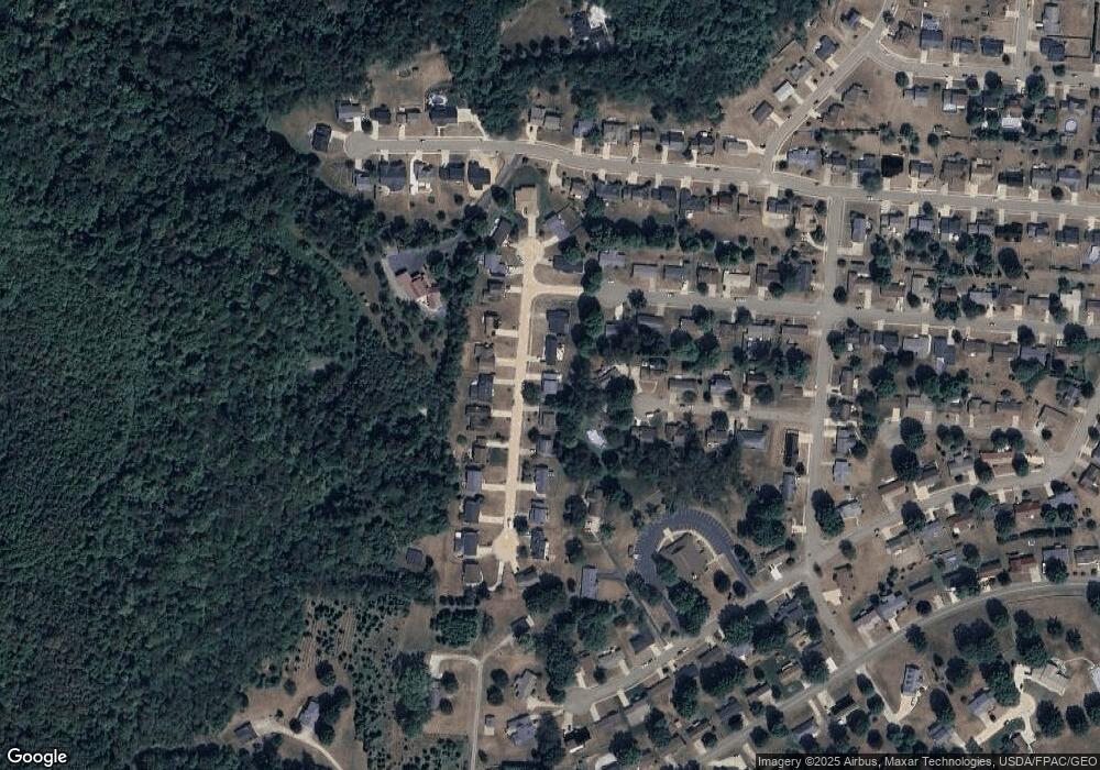
Map
Nearby Homes
- 1024 Thomas Dr SW
- 471 Snazzy Cir SW
- 236 Myers Ave SW
- 1166 S Broadway St
- 161 York Dr SE
- 1149 Jefferson St SE
- 1354 Independence Cir SE
- 427 Sycamore Cir SE
- 1273 Concord Cir SE
- 1224 Goshen Ave SE
- 514 Front Ave SW
- 241 Saint Clair Ave SW
- 405 Front Ave SW
- 651 Front Ave SW
- 451 Mill Ave SE
- 902 W High Ave
- 344 Fair Ave NW
- 231 4th St SE
- 944 Grant Ave NW
- 239 E High Ave Unit A
- 1049 Thomas Dr SW
- 1031 Thomas Dr SW
- 555 Rankin Ct SW
- 1059 Thomas Dr SW
- 556 Rankin Ct SW
- 568 Lockport Ave SW
- 1042 Thomas Dr SW
- 1034 Thomas Dr SW
- 1050 Thomas Dr SW
- 545 Rankin Ct SW
- 1067 Thomas Dr SW
- 546 Rankin Ct SW
- 1060 Thomas Dr SW
- 544 Lockport Ave SW
- 1016 Thomas Dr SW
- 569 Lockport Ave SW
- 535 Rankin Ct SW
- 1068 Thomas Dr SW
- 1075 Thomas Dr SW
- 536 Rankin Ct SW