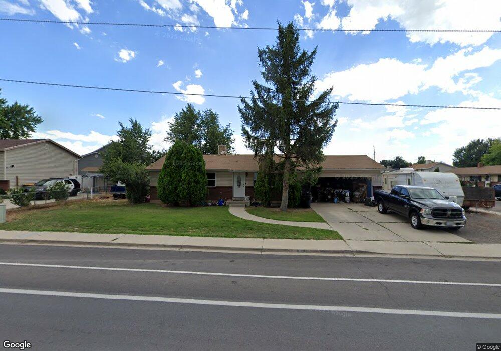
1041 W 1200 N Orem, UT 84057
Bonneville NeighborhoodEstimated Value: $449,000 - $492,965
3
Beds
2
Baths
1,040
Sq Ft
$458/Sq Ft
Est. Value
About This Home
This home is located at 1041 W 1200 N, Orem, UT 84057 and is currently estimated at $475,991, approximately $457 per square foot. 1041 W 1200 N is a home located in Utah County with nearby schools including Bonneville Elementary School, Orem Junior High School, and Timpanogos High School.
Ownership History
Date
Name
Owned For
Owner Type
Purchase Details
Closed on
Aug 24, 2020
Sold by
Peterson Stanley T
Bought by
Peterson Stanley T and Peterson Shelly I
Current Estimated Value
Purchase Details
Closed on
Jul 29, 2020
Sold by
Peterson Stanley T
Bought by
Peterson Stanley P and Peterson Shelley I
Purchase Details
Closed on
Sep 23, 2013
Sold by
Peterson Stanley and Daley Diane
Bought by
Peterson Stanley T
Home Financials for this Owner
Home Financials are based on the most recent Mortgage that was taken out on this home.
Original Mortgage
$113,138
Outstanding Balance
$84,627
Interest Rate
4.46%
Mortgage Type
New Conventional
Estimated Equity
$391,364
Create a Home Valuation Report for This Property
The Home Valuation Report is an in-depth analysis detailing your home's value as well as a comparison with similar homes in the area
Home Values in the Area
Average Home Value in this Area
Purchase History
| Date | Buyer | Sale Price | Title Company |
|---|---|---|---|
| Peterson Stanley T | -- | None Available | |
| Peterson Stanley P | -- | None Available | |
| Peterson Stanley T | -- | Cornerstone Title Agency Inc |
Source: Public Records
Mortgage History
| Date | Status | Borrower | Loan Amount |
|---|---|---|---|
| Open | Peterson Stanley T | $113,138 |
Source: Public Records
Tax History Compared to Growth
Tax History
| Year | Tax Paid | Tax Assessment Tax Assessment Total Assessment is a certain percentage of the fair market value that is determined by local assessors to be the total taxable value of land and additions on the property. | Land | Improvement |
|---|---|---|---|---|
| 2025 | $1,868 | $246,015 | $194,400 | $252,900 |
| 2024 | $1,868 | $228,360 | $0 | $0 |
| 2023 | $1,736 | $228,085 | $0 | $0 |
| 2022 | $1,708 | $217,470 | $0 | $0 |
| 2021 | $1,590 | $306,600 | $151,800 | $154,800 |
| 2020 | $1,441 | $273,200 | $121,400 | $151,800 |
| 2019 | $1,338 | $263,800 | $121,400 | $142,400 |
| 2018 | $1,298 | $244,500 | $111,000 | $133,500 |
| 2017 | $1,226 | $123,640 | $0 | $0 |
| 2016 | $1,233 | $114,675 | $0 | $0 |
| 2015 | $1,176 | $103,455 | $0 | $0 |
| 2014 | $1,119 | $97,955 | $0 | $0 |
Source: Public Records
Map
Nearby Homes
- 999 W 1100 N
- 983 W 1055 N Unit 816
- 1026 N 1090 W Unit 404
- 1030 N 995 W Unit 915
- 1015 N 995 W
- 875 W 1130 N
- 1081 W 993 N Unit 101
- 1081 W 993 N Unit 202
- 982 W 960 N Unit 109
- 1175 W 1420 N
- 1335 N 1230 W
- 1140 W 950 N Unit D304
- 930 N 980 W
- 1426 N 1300 W Unit 63
- 933 N 900 W
- 1279 W 1480 N
- 1554 N 1150 W
- 947 N 830 W
- 1496 N 1285 W
- 1503 N 1285 W