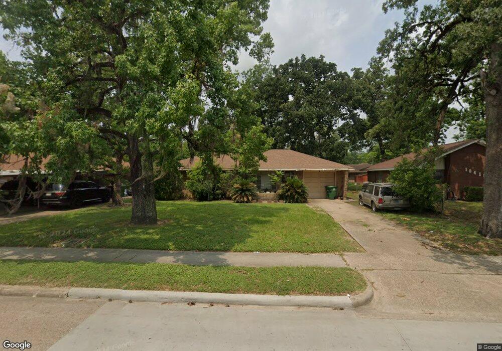
10411 Homestead Rd Houston, TX 77016
East Little York NeighborhoodEstimated Value: $143,000 - $162,000
3
Beds
2
Baths
988
Sq Ft
$155/Sq Ft
Est. Value
About This Home
This home is located at 10411 Homestead Rd, Houston, TX 77016 and is currently estimated at $153,011, approximately $154 per square foot. 10411 Homestead Rd is a home located in Harris County with nearby schools including Shadydale Elementary School, Forest Brook Middle, and North Forest High School.
Ownership History
Date
Name
Owned For
Owner Type
Purchase Details
Closed on
Jul 8, 1999
Sold by
Walling Wawease
Bought by
Rodgers Carolyn Elaine
Current Estimated Value
Home Financials for this Owner
Home Financials are based on the most recent Mortgage that was taken out on this home.
Original Mortgage
$40,375
Outstanding Balance
$11,158
Interest Rate
7.39%
Estimated Equity
$141,853
Purchase Details
Closed on
Jun 18, 1999
Sold by
Walling John A and Walling Betty Sue
Bought by
Walling Wawease
Home Financials for this Owner
Home Financials are based on the most recent Mortgage that was taken out on this home.
Original Mortgage
$40,375
Outstanding Balance
$11,158
Interest Rate
7.39%
Estimated Equity
$141,853
Create a Home Valuation Report for This Property
The Home Valuation Report is an in-depth analysis detailing your home's value as well as a comparison with similar homes in the area
Home Values in the Area
Average Home Value in this Area
Purchase History
| Date | Buyer | Sale Price | Title Company |
|---|---|---|---|
| Rodgers Carolyn Elaine | -- | Fidelity National Title | |
| Walling Wawease | -- | -- |
Source: Public Records
Mortgage History
| Date | Status | Borrower | Loan Amount |
|---|---|---|---|
| Open | Rodgers Carolyn Elaine | $40,375 |
Source: Public Records
Tax History Compared to Growth
Tax History
| Year | Tax Paid | Tax Assessment Tax Assessment Total Assessment is a certain percentage of the fair market value that is determined by local assessors to be the total taxable value of land and additions on the property. | Land | Improvement |
|---|---|---|---|---|
| 2025 | $1,371 | $126,732 | $56,095 | $70,637 |
| 2024 | $1,371 | $128,570 | $39,596 | $88,974 |
| 2023 | $1,371 | $140,569 | $39,596 | $100,973 |
| 2022 | $1,362 | $133,664 | $39,596 | $94,068 |
| 2021 | $1,311 | $79,744 | $26,398 | $53,346 |
| 2020 | $1,238 | $67,353 | $17,818 | $49,535 |
| 2019 | $1,176 | $50,970 | $11,285 | $39,685 |
| 2018 | $0 | $42,263 | $11,285 | $30,978 |
| 2017 | $1,069 | $42,263 | $11,285 | $30,978 |
| 2016 | $1,034 | $40,905 | $11,285 | $29,620 |
| 2015 | -- | $46,855 | $11,285 | $35,570 |
| 2014 | -- | $39,802 | $11,285 | $28,517 |
Source: Public Records
Map
Nearby Homes
- 10430 Royal Oaks Dr
- 10317 Kelburn Dr
- 7226 Gore Dr
- 7210 Colton St
- 10526 Hollyglen Dr
- 10538 Royal Oaks Dr
- 10434 Envoy St
- 10201 Homestead Rd
- 10535 Hollyglen Dr
- 10128 Homestead Rd
- 10221 Bretton Dr
- 10124 Homestead Rd
- 10806 Bird of Paradise Ln
- 10808 Bird of Paradise Ln
- 10810 Bird of Paradise Ln
- 10122 Rockaway Dr
- 7234 Boggess Rd
- 10120 Homestead Rd
- 10313 Blades St
- 7818 Laurel Gem Dr
- 10415 Homestead Rd
- 10407 Homestead Rd
- 10414 Rockaway Dr
- 10419 Homestead Rd
- 10406 Rockaway Dr
- 10403 Homestead Rd
- 10418 Rockaway Dr
- 10402 Rockaway Dr
- 10423 Homestead Rd
- 10335 Homestead Rd
- 10410 Homestead Rd
- 10414 Homestead Rd
- 10422 Rockaway Dr
- 10334 Rockaway Dr
- 10406 Homestead Rd
- 10418 Homestead Rd
- 10402 Homestead Rd
- 10427 Homestead Rd
- 10331 Homestead Rd
- 10422 Homestead Rd