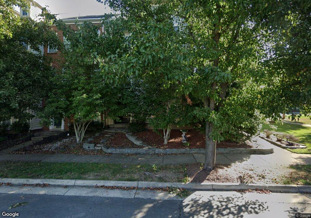
10411 Rifle Rd Bristow, VA 20136
Estimated Value: $610,000 - $650,000
3
Beds
2
Baths
2,145
Sq Ft
$294/Sq Ft
Est. Value
About This Home
This home is located at 10411 Rifle Rd, Bristow, VA 20136 and is currently estimated at $630,471, approximately $293 per square foot. 10411 Rifle Rd is a home located in Prince William County with nearby schools including T. Clay Wood Elementary School, E.H. Marsteller Middle School, and Brentsville District High School.
Ownership History
Date
Name
Owned For
Owner Type
Purchase Details
Closed on
Jul 20, 2007
Sold by
Us Bank Na
Bought by
Debow Daryl L
Current Estimated Value
Home Financials for this Owner
Home Financials are based on the most recent Mortgage that was taken out on this home.
Original Mortgage
$308,000
Outstanding Balance
$195,308
Interest Rate
6.78%
Mortgage Type
New Conventional
Estimated Equity
$435,163
Purchase Details
Closed on
May 12, 2007
Sold by
Professional Foreclosure
Bought by
Us Bank Na
Purchase Details
Closed on
Jun 29, 2005
Sold by
Centex Homes
Bought by
Landaverde-Garcia Berta and Garcia-Lozano,Ricardo
Home Financials for this Owner
Home Financials are based on the most recent Mortgage that was taken out on this home.
Original Mortgage
$376,155
Interest Rate
5.73%
Mortgage Type
New Conventional
Create a Home Valuation Report for This Property
The Home Valuation Report is an in-depth analysis detailing your home's value as well as a comparison with similar homes in the area
Home Values in the Area
Average Home Value in this Area
Purchase History
| Date | Buyer | Sale Price | Title Company |
|---|---|---|---|
| Debow Daryl L | $385,000 | -- | |
| Us Bank Na | $405,169 | -- | |
| Landaverde-Garcia Berta | $417,950 | -- |
Source: Public Records
Mortgage History
| Date | Status | Borrower | Loan Amount |
|---|---|---|---|
| Open | Debow Daryl L | $308,000 | |
| Previous Owner | Landaverde-Garcia Berta | $376,155 |
Source: Public Records
Tax History Compared to Growth
Tax History
| Year | Tax Paid | Tax Assessment Tax Assessment Total Assessment is a certain percentage of the fair market value that is determined by local assessors to be the total taxable value of land and additions on the property. | Land | Improvement |
|---|---|---|---|---|
| 2025 | $4,784 | $550,000 | $126,900 | $423,100 |
| 2024 | $4,784 | $481,000 | $120,800 | $360,200 |
| 2023 | $4,799 | $461,200 | $117,900 | $343,300 |
| 2022 | $4,977 | $440,700 | $116,300 | $324,400 |
| 2021 | $4,906 | $402,000 | $101,500 | $300,500 |
| 2020 | $6,012 | $387,900 | $101,500 | $286,400 |
| 2019 | $5,653 | $364,700 | $101,500 | $263,200 |
| 2018 | $4,336 | $359,100 | $101,500 | $257,600 |
| 2017 | $4,321 | $350,400 | $101,500 | $248,900 |
| 2016 | $4,262 | $348,900 | $101,500 | $247,400 |
| 2015 | $3,996 | $338,300 | $110,200 | $228,100 |
| 2014 | $3,996 | $319,700 | $103,600 | $216,100 |
Source: Public Records
Map
Nearby Homes
- 11650 Iron Brigade Unit Ave
- 11688 Camp Jones Ct
- 10554 Andrew Humphreys Ct
- 11823 Whitworth Cannon Ln
- 12021 Spring Beauty Rd
- 10505 Blazing Star Loop
- 12002 Fitzgerald Way
- 12054 Nokesville Rd
- 12203 Aster Rd
- 12171 Open Meadow Ln
- 9923 Bagpipe Ct
- 11862 Arcari Dr
- 12360 Corncrib Ct
- 14058 Hawkeye Run Ct
- 10941 Samuel Trexler Dr
- 12410 Iona Sound Dr
- 9651 Bedder Stone Place
- 10024 Darnaway Ct
- 12127 & 12131 Vint Hill Rd
- 9817 Maitland Loop
- 10409 Rifle Rd
- 10407 Rifle Rd
- 10405 Rifle Rd
- 10421 Rifle Rd
- 10403 Rifle Rd
- 10433 Rifle Rd
- 10423 Rifle Rd
- 10401 Rifle Rd
- 10460 Tenth Alabama Way
- 10458 Tenth Alabama Way
- 10456 Tenth Alabama Way
- 10425 Rifle Rd
- 10454 Tenth Alabama Way
- 10470 Tenth Alabama Way
- 10427 Rifle Rd
- 10420 Rifle Rd
- 10472 Tenth Alabama Way
- 10450 Tenth Alabama Way
- 10422 Rifle Rd
- 10474 Tenth Alabama Way