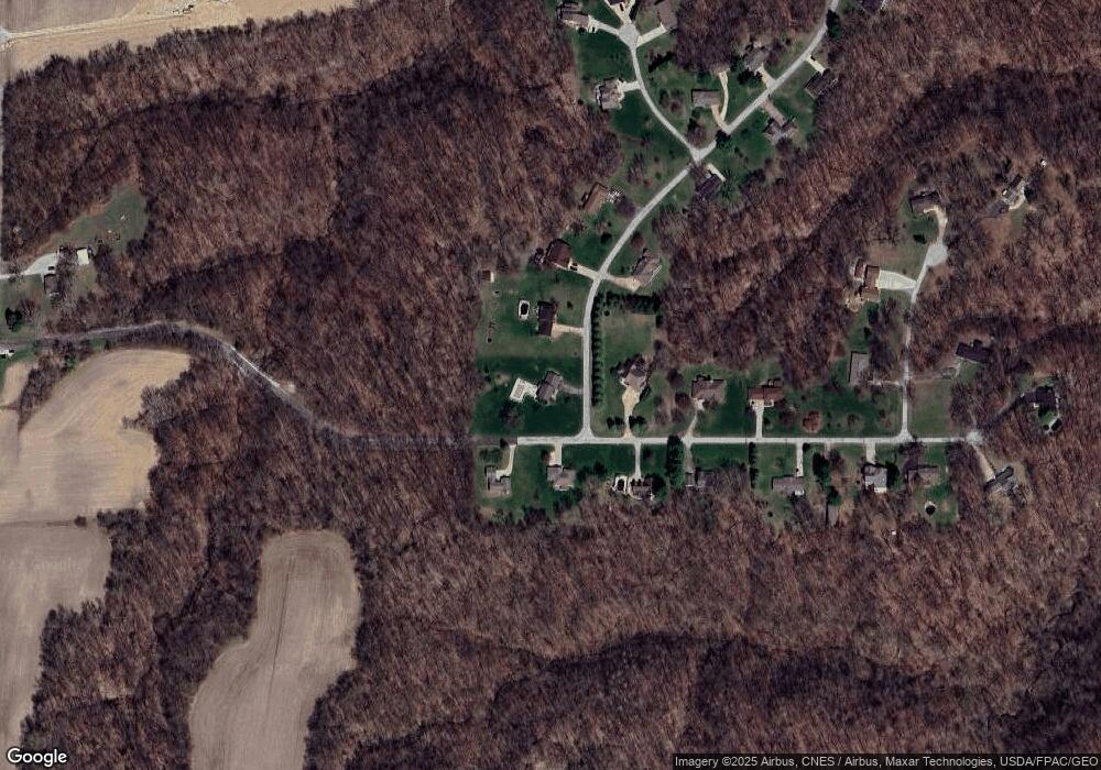
10418 136th St W None Taylor Ridge, IL 61284
Estimated Value: $381,000 - $502,000
--
Bed
3
Baths
2,600
Sq Ft
$163/Sq Ft
Est. Value
About This Home
This home is located at 10418 136th St W None, Taylor Ridge, IL 61284 and is currently estimated at $424,006, approximately $163 per square foot. 10418 136th St W None is a home located in Rock Island County with nearby schools including Rockridge High School.
Ownership History
Date
Name
Owned For
Owner Type
Purchase Details
Closed on
Apr 26, 2020
Sold by
Mcclusky Cheryl L and Mcclusky Larry D
Bought by
Morales Kyle Matthew and Morales Dawn Crystal
Current Estimated Value
Home Financials for this Owner
Home Financials are based on the most recent Mortgage that was taken out on this home.
Original Mortgage
$175,000
Interest Rate
2.38%
Mortgage Type
New Conventional
Purchase Details
Closed on
Jun 1, 2010
Create a Home Valuation Report for This Property
The Home Valuation Report is an in-depth analysis detailing your home's value as well as a comparison with similar homes in the area
Home Values in the Area
Average Home Value in this Area
Purchase History
| Date | Buyer | Sale Price | Title Company |
|---|---|---|---|
| Morales Kyle Matthew | $275,000 | Gomez Title | |
| -- | $263,000 | -- |
Source: Public Records
Mortgage History
| Date | Status | Borrower | Loan Amount |
|---|---|---|---|
| Previous Owner | Morales Kyle Matthew | $175,000 |
Source: Public Records
Tax History Compared to Growth
Tax History
| Year | Tax Paid | Tax Assessment Tax Assessment Total Assessment is a certain percentage of the fair market value that is determined by local assessors to be the total taxable value of land and additions on the property. | Land | Improvement |
|---|---|---|---|---|
| 2024 | $8,905 | $125,164 | $11,509 | $113,655 |
| 2023 | $8,905 | $115,146 | $10,588 | $104,558 |
| 2022 | $7,063 | $103,085 | $9,479 | $93,606 |
| 2021 | $7,095 | $97,711 | $8,985 | $88,726 |
| 2020 | $6,432 | $93,593 | $8,606 | $84,987 |
| 2019 | $6,069 | $90,603 | $8,331 | $82,272 |
| 2018 | $6,069 | $90,603 | $8,331 | $82,272 |
| 2017 | $5,777 | $87,371 | $8,034 | $79,337 |
| 2016 | $5,817 | $87,371 | $8,034 | $79,337 |
| 2015 | $5,797 | $87,371 | $8,034 | $79,337 |
| 2014 | $1,323 | $88,253 | $8,115 | $80,138 |
| 2013 | $1,323 | $88,253 | $8,115 | $80,138 |
Source: Public Records
Map
Nearby Homes
- 10027 115th St W
- 0 Liberty Park Unit RMAQC4245458
- 15625 80th Ave W
- Lot 81,82,84 5th St W
- 513 2nd Ave W
- 226 4th Ave W Unit 173
- 8528 101st St W
- 9711 106th Ave W
- 1240 Spruce St
- 714 W Front St
- 116 Main St
- 636 3rd St
- 13314 175th St W
- 9720 86th Street Ct W
- 8620 114th Ave W
- 222 6th St
- 6218 114th St
- 6594 116th St
- 11640 61st Avenue Place
- 6203 116th St
- 10418 136th St W
- 10410 136th St W
- 13521 105th Ave W
- 13528 105th Ave W
- 13616 105th Ave W
- 10326 136th St W
- 13516 105th Ave W
- 10319 136th St W
- 13433 105th Ave W
- 13428 105th Ave W
- 10312 136th St W
- 10303 136th St W
- 13410 105th Ave W
- 13602 103rd Avenue Ct W
- 10426 133rd Street Ct W
- 10228 136th St W
- 10406 133rd Street Ct W
- 13324 105th Ave W
- 10225 136th St W
- 13618 103rd Avenue Ct W
