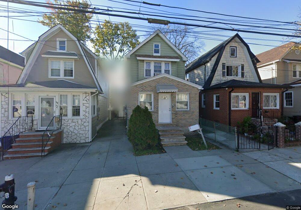
10418 188th St Saint Albans, NY 11412
Hollis NeighborhoodEstimated Value: $589,941 - $739,000
--
Bed
--
Bath
1,344
Sq Ft
$511/Sq Ft
Est. Value
About This Home
This home is located at 10418 188th St, Saint Albans, NY 11412 and is currently estimated at $687,235, approximately $511 per square foot. 10418 188th St is a home located in Queens County with nearby schools including P.S. 118 Lorraine Hansberry, I.S. 192 The Linden, and Wellspring Elementary & Middle.
Ownership History
Date
Name
Owned For
Owner Type
Purchase Details
Closed on
Nov 24, 1999
Sold by
Jones Roy and Jones Inez
Bought by
Butler Jennifer T
Current Estimated Value
Home Financials for this Owner
Home Financials are based on the most recent Mortgage that was taken out on this home.
Original Mortgage
$122,700
Interest Rate
7.73%
Mortgage Type
FHA
Create a Home Valuation Report for This Property
The Home Valuation Report is an in-depth analysis detailing your home's value as well as a comparison with similar homes in the area
Home Values in the Area
Average Home Value in this Area
Purchase History
| Date | Buyer | Sale Price | Title Company |
|---|---|---|---|
| Butler Jennifer T | $150,000 | Commonwealth Land Title Ins |
Source: Public Records
Mortgage History
| Date | Status | Borrower | Loan Amount |
|---|---|---|---|
| Previous Owner | Butler Jennifer T | $122,700 |
Source: Public Records
Tax History Compared to Growth
Tax History
| Year | Tax Paid | Tax Assessment Tax Assessment Total Assessment is a certain percentage of the fair market value that is determined by local assessors to be the total taxable value of land and additions on the property. | Land | Improvement |
|---|---|---|---|---|
| 2025 | $5,483 | $28,939 | $8,704 | $20,235 |
| 2024 | $5,483 | $27,301 | $9,038 | $18,263 |
| 2023 | $5,231 | $25,757 | $8,300 | $17,457 |
| 2022 | $5,007 | $37,920 | $11,640 | $26,280 |
| 2021 | $5,112 | $35,280 | $11,640 | $23,640 |
| 2020 | $5,105 | $30,360 | $11,640 | $18,720 |
| 2019 | $4,759 | $32,580 | $11,640 | $20,940 |
| 2018 | $4,375 | $21,464 | $8,693 | $12,771 |
| 2017 | $4,261 | $20,901 | $11,295 | $9,606 |
| 2016 | $4,047 | $20,901 | $11,295 | $9,606 |
| 2015 | $2,158 | $20,097 | $9,956 | $10,141 |
| 2014 | $2,158 | $18,960 | $11,282 | $7,678 |
Source: Public Records
Map
Nearby Homes
- 10533 Farmers Blvd
- 187-23 Brinkerhoff Ave
- 102-35 187th St
- 19027 109th Rd
- 10220 189th St
- 190-30 103rd Ave
- 10532 192nd St
- 10211 187th St
- 193-21 109th Rd
- 104-40 194th St
- 185-05 Henderson Ave
- 19319 109th Rd
- 194-10 Hollis Ave
- 111-06 Farmers Blvd
- 184-15 Henderson Ave
- 102-13 183rd Place
- 183-29 Brinkerhoff Ave
- 183-09 Dunlop Ave
- 186-16 Hilburn Ave
- 183-12 Elmira Ave
- 10414 188th St
- 10420 188th St
- 10420 188th St
- 10414 188th St
- 10412 188th St
- 10422 188th St
- 10415 187th St
- 104-11 187th St
- 10413 187th St
- 18714 104th Ave
- 10417 187th St
- 18718 104th Ave
- 10411 187th St
- 18715 Ludlum Ave
- 10419 187th St
- 18719 Ludlum Ave
- 10419 187th St
- 18710 104th Ave
- 18711 Ludlum Ave
- 187-19 Ludlum Ave