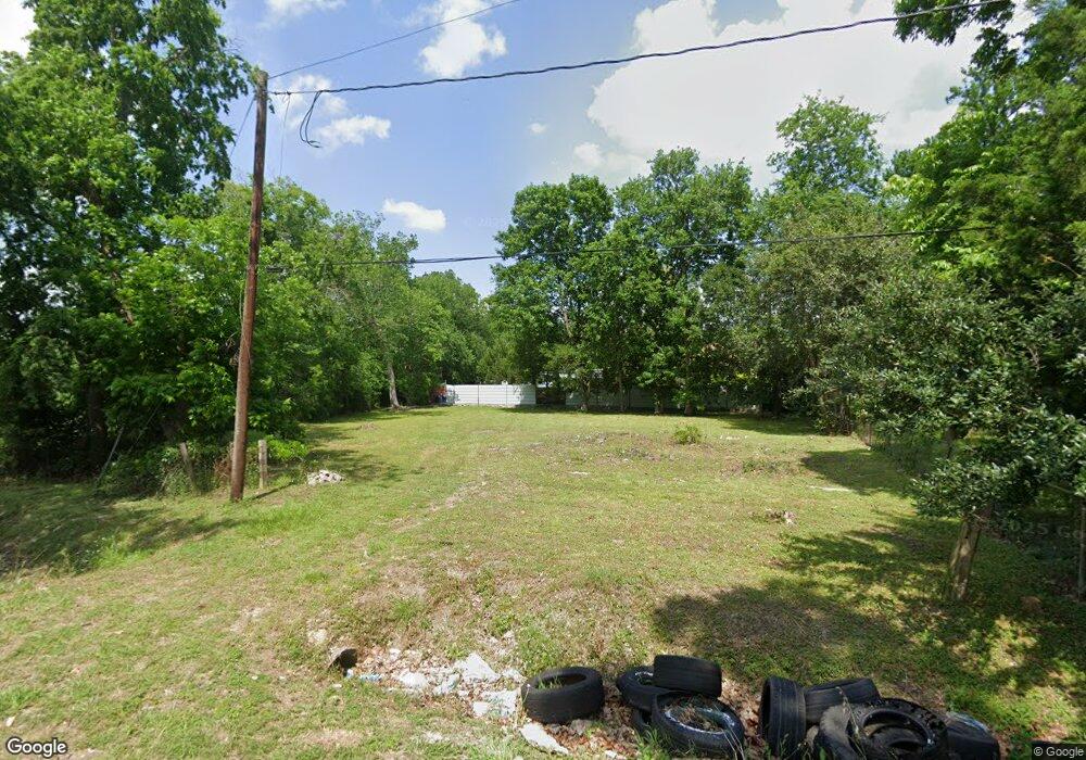
10418 Raymondville Rd Houston, TX 77093
Eastex-Jensen NeighborhoodEstimated Value: $52,000 - $468,000
2
Beds
1
Bath
632
Sq Ft
$368/Sq Ft
Est. Value
About This Home
This home is located at 10418 Raymondville Rd, Houston, TX 77093 and is currently estimated at $232,667, approximately $368 per square foot. 10418 Raymondville Rd is a home located in Harris County with nearby schools including Coop Elementary School, Patrick Henry Middle School, and Sam Houston Math, Science & Technology Center.
Ownership History
Date
Name
Owned For
Owner Type
Purchase Details
Closed on
May 25, 2023
Sold by
Salinas Ruben Munoz
Bought by
Industrious Property Enterprise Flp
Current Estimated Value
Purchase Details
Closed on
Nov 5, 2013
Sold by
Salyards Debra Ann and Colburn Debra Ann
Bought by
Salinas Ruben Munoz
Purchase Details
Closed on
Aug 6, 2013
Sold by
Salyards Debra Ann and Foit Lawrence Joseph
Bought by
Harris County and City Of Houston
Purchase Details
Closed on
Apr 21, 1998
Sold by
Kelly Jeannette Arelene Salyards
Bought by
Salyards Debra Ann
Create a Home Valuation Report for This Property
The Home Valuation Report is an in-depth analysis detailing your home's value as well as a comparison with similar homes in the area
Home Values in the Area
Average Home Value in this Area
Purchase History
| Date | Buyer | Sale Price | Title Company |
|---|---|---|---|
| Industrious Property Enterprise Flp | -- | None Listed On Document | |
| Salinas Ruben Munoz | $14,500 | None Available | |
| Harris County | -- | None Available | |
| Salyards Debra Ann | -- | -- |
Source: Public Records
Tax History Compared to Growth
Tax History
| Year | Tax Paid | Tax Assessment Tax Assessment Total Assessment is a certain percentage of the fair market value that is determined by local assessors to be the total taxable value of land and additions on the property. | Land | Improvement |
|---|---|---|---|---|
| 2025 | $1,474 | $75,240 | $75,240 | -- |
| 2024 | $1,474 | $70,469 | $70,469 | -- |
| 2023 | $1,109 | $55,054 | $55,054 | $0 |
| 2022 | $1,010 | $45,878 | $45,878 | $0 |
| 2021 | $769 | $33,000 | $33,000 | $0 |
| 2020 | $799 | $33,000 | $33,000 | $0 |
| 2019 | $836 | $33,032 | $33,032 | $0 |
| 2018 | $639 | $25,248 | $25,248 | $0 |
| 2017 | $638 | $25,248 | $25,248 | $0 |
| 2016 | $638 | $25,248 | $25,248 | $0 |
| 2015 | $649 | $25,248 | $25,248 | $0 |
| 2014 | $649 | $25,248 | $25,248 | $0 |
Source: Public Records
Map
Nearby Homes
- 2415 Goodloe St
- 2332 Margaret St
- 2318 Cresline St
- 2315 Langley Rd
- 2633 Hollis St
- 3202 Parker Rd
- 1728 Little York Rd
- 2636 Lone Oak Rd
- 1904 Little York Rd
- 10512 Exeter St
- 10514 Exeter St
- 1829 Skinner Rd
- 4918 Langley Rd
- 1908 Little York Rd
- 2629 Kowis St
- 3709 Gager St
- 1731 Schilder Dr
- 2122 Kowis St
- 2152 William Tell St
- 9634 Burden St
- 10415 Bantum St
- 10419 Bantum St
- 10407 Bantum St
- 10406 Raymondville Rd
- 10403 Bantum St
- 2602 Moreau St
- 10409 Raymondville Rd
- 10405 Raymondville Rd
- 10426 Bantum St
- 10427 Bantum St
- 10418 Bantum St
- 2600 Charles Rd
- 2623 Charles Rd
- 2517 Goodloe St
- 2602 Charles Rd
- 10431 Bantum St
- 2513 Charles Rd
- 2606 Charles Rd
- 2509 Goodloe St
- 2610 Charles Rd