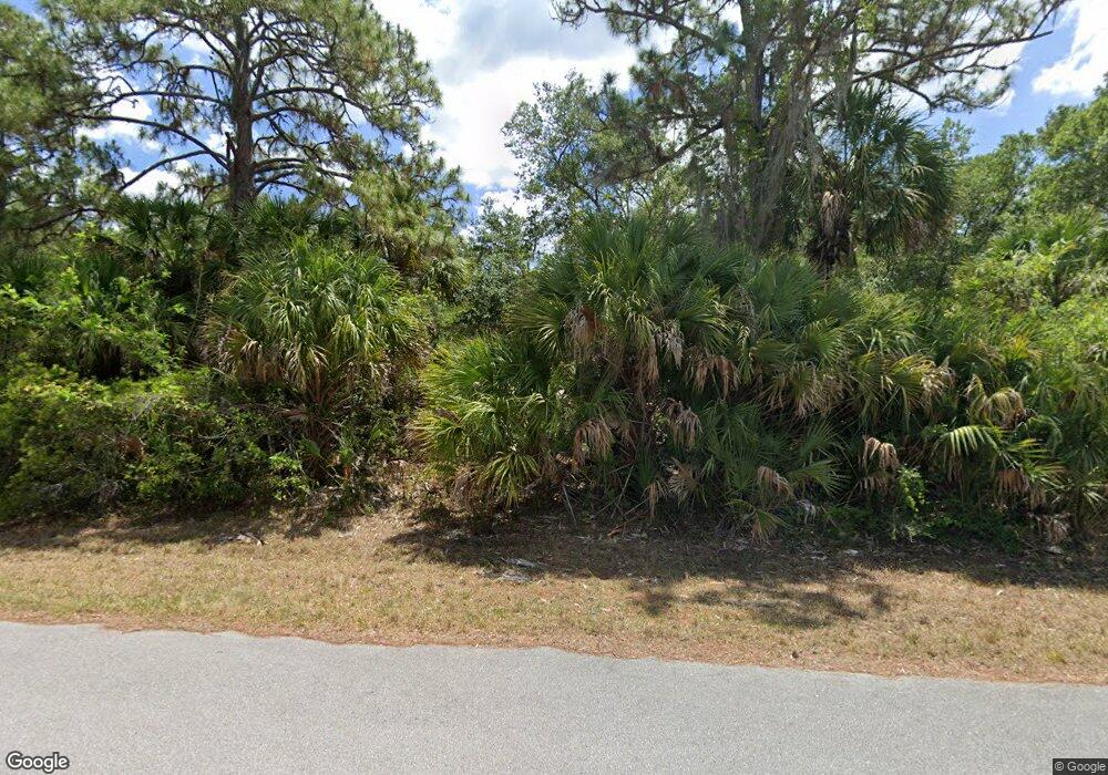
1042 Berthoud St Port Charlotte, FL 33953
Northwest Port Charlotte NeighborhoodEstimated Value: $29,000 - $283,000
--
Bed
--
Bath
--
Sq Ft
10,019
Sq Ft Lot
About This Home
This home is located at 1042 Berthoud St, Port Charlotte, FL 33953 and is currently estimated at $156,000. 1042 Berthoud St is a home located in Charlotte County with nearby schools including Liberty Elementary School, Murdock Middle School, and Port Charlotte High School.
Ownership History
Date
Name
Owned For
Owner Type
Purchase Details
Closed on
Jul 1, 2010
Sold by
Florida Land & Farm Holdings Inc
Bought by
South Florida Reo Trustees Llc and Florida Land Trust #Wk10201
Current Estimated Value
Purchase Details
Closed on
Apr 23, 2010
Sold by
Lettsome Bradley D and Sherman Brent
Bought by
Florida Land & Farm Holdings Inc
Purchase Details
Closed on
Jul 28, 2003
Sold by
Rondy James A
Bought by
Lettsome Bradley D and Sherman Brent
Create a Home Valuation Report for This Property
The Home Valuation Report is an in-depth analysis detailing your home's value as well as a comparison with similar homes in the area
Home Values in the Area
Average Home Value in this Area
Purchase History
| Date | Buyer | Sale Price | Title Company |
|---|---|---|---|
| South Florida Reo Trustees Llc | $17,300 | None Available | |
| Florida Land & Farm Holdings Inc | $27,500 | Down Home Title Services Inc | |
| Lettsome Bradley D | $3,800 | -- |
Source: Public Records
Tax History Compared to Growth
Tax History
| Year | Tax Paid | Tax Assessment Tax Assessment Total Assessment is a certain percentage of the fair market value that is determined by local assessors to be the total taxable value of land and additions on the property. | Land | Improvement |
|---|---|---|---|---|
| 2023 | $461 | $4,752 | $0 | $0 |
| 2022 | $445 | $11,900 | $11,900 | $0 |
| 2021 | $392 | $3,995 | $3,995 | $0 |
| 2020 | $377 | $3,570 | $3,570 | $0 |
| 2019 | $375 | $3,570 | $3,570 | $0 |
| 2018 | $365 | $3,315 | $3,315 | $0 |
| 2017 | $361 | $3,196 | $3,196 | $0 |
| 2016 | $357 | $3,060 | $0 | $0 |
| 2015 | $353 | $2,788 | $0 | $0 |
| 2014 | $252 | $2,768 | $0 | $0 |
Source: Public Records
Map
Nearby Homes
- 1052 Eppinger Dr
- 1020 Eppinger Dr
- 1044 Biscayne Dr
- 544 Berthoud St
- 14293 Dunlap Ave
- 14217 Chamberlain Blvd
- 487 Eppinger Dr
- 296 Eppinger Dr
- 14229 Dunlap Ave
- 14383 Maddock Ave
- 14221 Dunlap Ave
- 1197 Eppinger Dr
- 14396 Chamberlain Blvd
- 13343 Chamberlain Blvd
- 1700 Biscayne Dr
- 294 Biscayne Dr
- 1789 Biscayne Dr
- 1005 Biscayne Dr
- 169 Biscayne Dr
- 1173 Biscayne Dr
- 1050 Berthoud St
- 1034 Berthoud St
- 1053 Eppinger Dr
- 1069 Eppinger Dr
- 1060 Berthoud St
- 1027 Berthoud St
- 14281 Cain Ave
- 1018 Berthoud St
- 1077 Eppinger Dr
- 14270 Cain Ave
- 1029 Eppinger Dr
- 1068 Eppinger Dr
- 1010 Berthoud St
- 1036 Eppinger Dr
- 1095 Eppinger Dr
- 1076 Eppinger Dr
- 14263 Mary Jo Ave
- 14254 Cain Ave
- 14248 Mary Jo Ave
- 1092 Eppinger Dr
