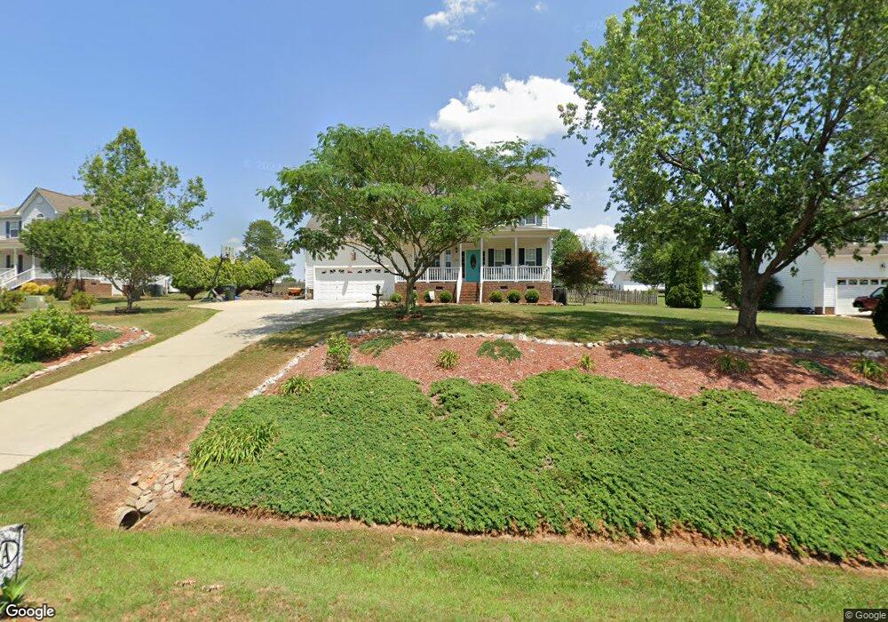
1042 Black Angus Dr Garner, NC 27529
Estimated Value: $404,000 - $422,000
About This Home
This home is located at 1042 Black Angus Dr, Garner, NC 27529 and is currently estimated at $409,805, approximately $183 per square foot. 1042 Black Angus Dr is a home located in Johnston County with nearby schools including West View Elementary School, Cleveland Middle School, and West Johnston High School.
Ownership History
We collect this data history from publicly available records. To have your information removed, we recommend requesting removal directly through your county’s website.
Purchase Details
Home Financials for this Owner
Home Financials are based on the most recent Mortgage that was taken out on this home.Purchase Details
Purchase Details
Purchase Details
Home Values in the Area
Average Home Value in this Area
Purchase History
We collect this data history from publicly available records. To have your information removed, we recommend requesting removal directly through your county’s website.
| Date | Buyer | Sale Price | Title Company |
|---|---|---|---|
| $145,500 | Fidelity Natl Title Ins Co | ||
| $148,500 | -- | ||
| -- | -- | ||
| -- | -- |
Mortgage History
We collect this data history from publicly available records. To have your information removed, we recommend requesting removal directly through your county’s website.
| Date | Status | Borrower | Loan Amount |
|---|---|---|---|
| Open | $156,000 |
Tax History
We collect this data history from publicly available records. To have your information removed, we recommend requesting removal directly through your county’s website.
| Year | Tax Paid | Tax Assessment Tax Assessment Total Assessment is a certain percentage of the fair market value that is determined by local assessors to be the total taxable value of land and additions on the property. | Land | Improvement |
|---|---|---|---|---|
| 2025 | $2,572 | $405,090 | $80,000 | $325,090 |
| 2024 | $1,976 | $243,990 | $46,000 | $197,990 |
| 2023 | $1,909 | $243,990 | $46,000 | $197,990 |
| 2022 | $1,962 | $238,500 | $46,000 | $192,500 |
| 2021 | $1,962 | $238,500 | $46,000 | $192,500 |
| 2020 | $1,986 | $238,500 | $46,000 | $192,500 |
| 2019 | $1,986 | $238,500 | $46,000 | $192,500 |
| 2018 | $1,608 | $188,650 | $35,500 | $153,150 |
| 2017 | $1,608 | $188,650 | $35,500 | $153,150 |
| 2016 | $1,608 | $188,650 | $35,500 | $153,150 |
| 2015 | $1,608 | $188,650 | $35,500 | $153,150 |
| 2014 | $1,608 | $188,650 | $35,500 | $153,150 |
Map
- 68 Longhorn Dr
- 296 Shadowbark Dr
- 58 Trailblazer Ln
- 222 Dana Dr
- 17 Belgian Blue Dr
- 0 Southfort Dr
- Lot 2a S Shiloh Rd
- 2012 Southfort Dr
- 80 Elvis Dr
- 500 Hillcrest Dr
- 908 Olive Dr
- 125 Wolf Den Dr
- 0 Cleveland Rd Unit 10176481
- 83 Birdo Point Way
- 13 W Currituck Cir
- 110 Dandy Flush Ct
- 109 Dandy Flush Ct
- 153 Fairbanks Ave
- 97 Fairbanks Ave
- 119 Fairbanks Ave
- 1020 Black Angus Dr
- 1064 Black Angus Dr
- 1084 Black Angus Dr
- 996 Black Angus Dr
- 46 Longhorn Dr
- 94 Longhorn Dr
- 36 Brahma Dr
- 1033 Black Angus Dr
- 37 Brahma Dr
- 1106 Black Angus Dr
- 974 Black Angus Dr
- 30 Longhorn Dr
- 1097 Black Angus Dr
- 120 Longhorn Dr
- 1003 Black Angus Dr
- 971 Black Angus Dr
- 1130 Black Angus Dr
- 952 Black Angus Dr
- 33 Longhorn Dr
- 77 Longhorn Dr
Ask me questions while you tour the home.