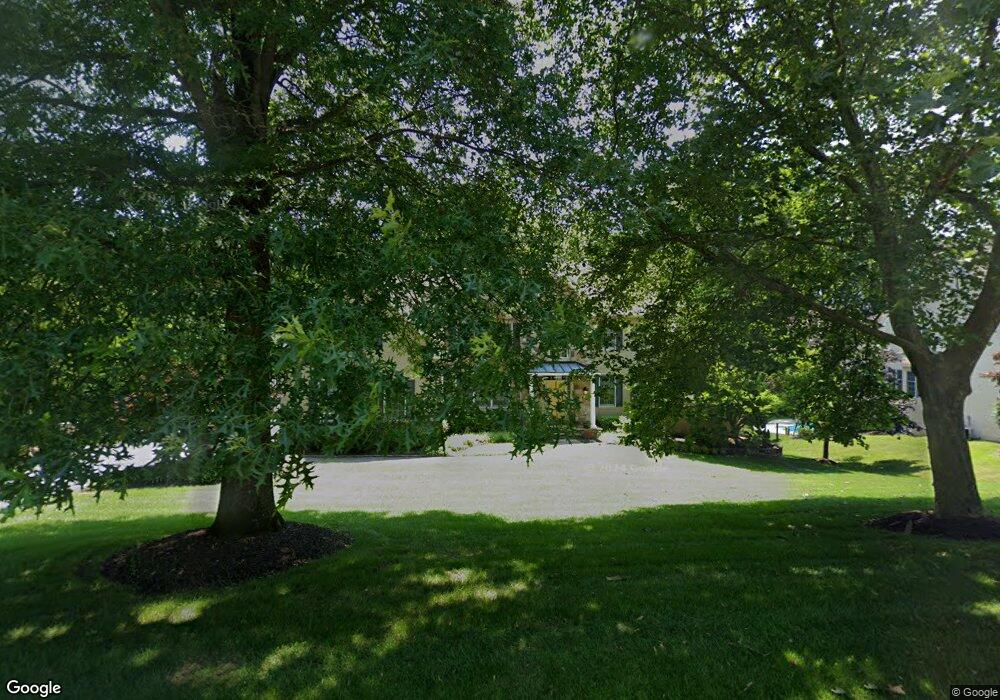
1042 Bucktail Way West Chester, PA 19382
Estimated Value: $1,329,208 - $1,660,000
5
Beds
4
Baths
4,584
Sq Ft
$314/Sq Ft
Est. Value
About This Home
This home is located at 1042 Bucktail Way, West Chester, PA 19382 and is currently estimated at $1,439,552, approximately $314 per square foot. 1042 Bucktail Way is a home located in Chester County with nearby schools including Hillsdale Elementary School, Stetson Middle School, and Bayard Rustin High School.
Ownership History
Date
Name
Owned For
Owner Type
Purchase Details
Closed on
Apr 26, 1999
Sold by
Steeplechase Land Inc
Bought by
Wolfe William A and Wolfe Cari L
Current Estimated Value
Home Financials for this Owner
Home Financials are based on the most recent Mortgage that was taken out on this home.
Original Mortgage
$410,000
Outstanding Balance
$104,884
Interest Rate
6.92%
Estimated Equity
$1,334,668
Create a Home Valuation Report for This Property
The Home Valuation Report is an in-depth analysis detailing your home's value as well as a comparison with similar homes in the area
Home Values in the Area
Average Home Value in this Area
Purchase History
| Date | Buyer | Sale Price | Title Company |
|---|---|---|---|
| Wolfe William A | $512,500 | -- |
Source: Public Records
Mortgage History
| Date | Status | Borrower | Loan Amount |
|---|---|---|---|
| Open | Wolfe William A | $410,000 |
Source: Public Records
Tax History Compared to Growth
Tax History
| Year | Tax Paid | Tax Assessment Tax Assessment Total Assessment is a certain percentage of the fair market value that is determined by local assessors to be the total taxable value of land and additions on the property. | Land | Improvement |
|---|---|---|---|---|
| 2025 | $13,985 | $482,450 | $61,230 | $421,220 |
| 2024 | $13,985 | $482,450 | $61,230 | $421,220 |
| 2023 | $13,864 | $482,450 | $61,230 | $421,220 |
| 2022 | $13,683 | $482,450 | $61,230 | $421,220 |
| 2021 | $13,370 | $482,450 | $61,230 | $421,220 |
| 2020 | $13,282 | $482,450 | $61,230 | $421,220 |
| 2019 | $12,853 | $482,450 | $61,230 | $421,220 |
| 2018 | $12,569 | $482,450 | $61,230 | $421,220 |
| 2017 | $12,287 | $482,450 | $61,230 | $421,220 |
| 2016 | $10,514 | $482,450 | $61,230 | $421,220 |
| 2015 | $10,514 | $475,660 | $61,230 | $414,430 |
| 2014 | $10,514 | $475,660 | $61,230 | $414,430 |
Source: Public Records
Map
Nearby Homes
- 1093 Forest Rd
- 1156 Mews Ln Unit 33
- 414 Birmingham Rd
- 1107 Mews Ln Unit 7
- 1033 Lenape Rd
- 255 Blue Rock Rd
- 1124 Queens Way Unit 24
- 1202 Turks Head Ln
- 410 Allegiance Dr
- 203 Barn Hill Rd
- 1303 Lenape Rd
- 1315 Lenape Rd
- Lot 10 Carolannes Way
- 289 Dressage Ct
- 974 Regimental Dr
- 809 General Sterling Dr
- 275 S Creek Rd
- 1048 General Allen Dr
- 947 Jefferis Bridge Rd
- 1015 Lambourne Rd
- 1044 Bucktail Way
- 1040 Bucktail Way
- 1071 Forest Rd
- 1073 Forest Rd
- 1046 Bucktail Way
- 1043 Bucktail Way
- 1041 Bucktail Way
- 1075 Forest Rd
- 1039 Bucktail Way
- 1045 Bucktail Way
- 1069 Forest Rd
- 1048 Bucktail Way
- 1077 Forest Rd
- 1047 Bucktail Way
- 1050 Bucktail Way
- 1072 Forest Rd
- 1049 Bucktail Way
- 410 Trio Ln
- 1074 Forest Rd
- 408 Trio Ln