1042 Cranbrook Rd Jackson, MI 49201
Estimated Value: $185,343 - $230,000
3
Beds
1
Bath
1,048
Sq Ft
$194/Sq Ft
Est. Value
About This Home
This home is located at 1042 Cranbrook Rd, Jackson, MI 49201 and is currently estimated at $203,336, approximately $194 per square foot. 1042 Cranbrook Rd is a home located in Jackson County with nearby schools including Northwest Elementary School, Northwest Early Elementary School, and Northwest Middle School.
Ownership History
Date
Name
Owned For
Owner Type
Purchase Details
Closed on
Jan 11, 2013
Sold by
Combs Sherrie and Curtis Sherrie L
Bought by
Combs Sherrie
Current Estimated Value
Purchase Details
Closed on
Jul 6, 2000
Sold by
Thomas Shirley G and Thomas Gordon A
Bought by
Curtis Sherrie L
Home Financials for this Owner
Home Financials are based on the most recent Mortgage that was taken out on this home.
Original Mortgage
$66,300
Outstanding Balance
$24,262
Interest Rate
8.55%
Mortgage Type
Purchase Money Mortgage
Estimated Equity
$179,074
Create a Home Valuation Report for This Property
The Home Valuation Report is an in-depth analysis detailing your home's value as well as a comparison with similar homes in the area
Home Values in the Area
Average Home Value in this Area
Purchase History
| Date | Buyer | Sale Price | Title Company |
|---|---|---|---|
| Combs Sherrie | -- | None Available | |
| Curtis Sherrie L | $82,900 | -- |
Source: Public Records
Mortgage History
| Date | Status | Borrower | Loan Amount |
|---|---|---|---|
| Open | Curtis Sherrie L | $66,300 |
Source: Public Records
Tax History
| Year | Tax Paid | Tax Assessment Tax Assessment Total Assessment is a certain percentage of the fair market value that is determined by local assessors to be the total taxable value of land and additions on the property. | Land | Improvement |
|---|---|---|---|---|
| 2025 | $1,863 | $84,550 | $0 | $0 |
| 2024 | $9 | $89,150 | $0 | $0 |
| 2023 | $838 | $88,400 | $0 | $0 |
| 2022 | $1,681 | $69,700 | $0 | $0 |
| 2021 | $1,652 | $53,200 | $0 | $0 |
| 2020 | $1,636 | $50,100 | $0 | $0 |
| 2019 | $1,596 | $49,300 | $0 | $0 |
| 2018 | $1,463 | $46,300 | $0 | $0 |
| 2017 | $1,382 | $45,500 | $0 | $0 |
| 2016 | $918 | $44,862 | $44,862 | $0 |
| 2015 | $1,326 | $42,265 | $42,265 | $0 |
| 2014 | $1,326 | $41,947 | $0 | $0 |
| 2013 | -- | $41,947 | $41,947 | $0 |
Source: Public Records
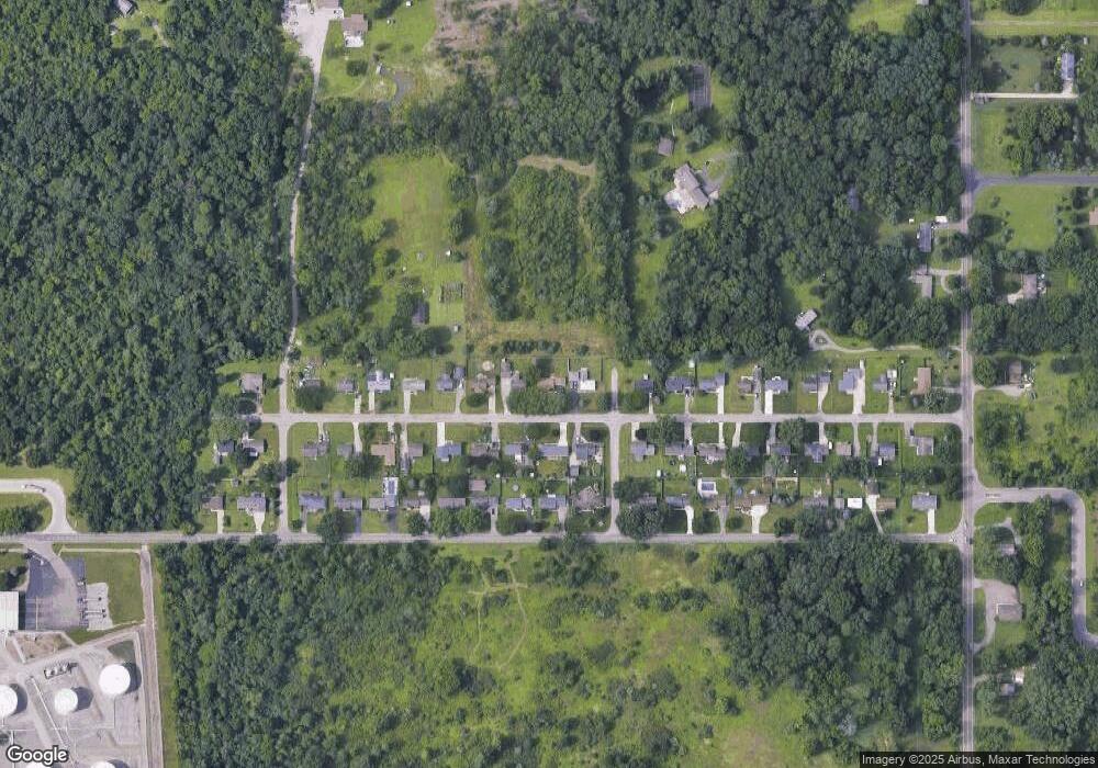
Map
Nearby Homes
- 5038 Fieldstone St
- 5123 S Granite St
- 4223 Aspen Way
- 0 Burt Ave
- 100 Burt Ave
- 109 Bradley Dr
- 5177 Stone River Rd
- VL Morrill Rd
- 1417 Gerry Dr
- 0 Lansing Ave Unit 26003476
- 3580 Clinton Way
- 3576 Clinton Way
- 3572 Clinton Way
- 3568 Clinton Way
- 3564 Clinton Way
- 3560 Clinton Way
- 3556 Clinton Way
- VL 69 Clinton Way
- 3335 Clinton Way
- 3249 Hendee Rd
- 1046 Cranbrook Rd
- 1038 Cranbrook Rd
- 1050 Cranbrook Rd
- 1043 Cranbrook Rd
- 1047 Cranbrook Rd
- 1039 Cranbrook Rd
- 1034 Cranbrook Rd
- 1051 Cranbrook Rd
- 1035 Cranbrook Rd
- 1040 Morrill Rd
- 1044 Morrill Rd
- 1055 Dr
- 1055 Cranbrook Rd
- 1036 Morrill Rd
- 1030 Cranbrook Rd
- 1058 Cranbrook Rd
- 1048 Morrill Rd
- 1031 Cranbrook Rd
- 1054 Cranbrook Rd
- 1059 Cranbrook Dr
Your Personal Tour Guide
Ask me questions while you tour the home.