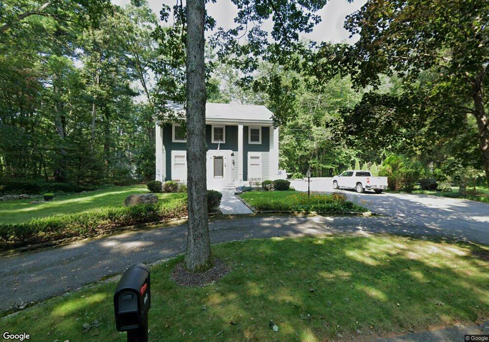
1042 Flat Hill Rd Lunenburg, MA 01462
Estimated Value: $584,000 - $657,000
3
Beds
3
Baths
2,055
Sq Ft
$303/Sq Ft
Est. Value
About This Home
This home is located at 1042 Flat Hill Rd, Lunenburg, MA 01462 and is currently estimated at $623,229, approximately $303 per square foot. 1042 Flat Hill Rd is a home located in Worcester County with nearby schools including Lunenburg Primary School and Lunenburg High School.
Ownership History
Date
Name
Owned For
Owner Type
Purchase Details
Closed on
Oct 12, 2023
Sold by
Mcgrath Barry R and Mcgrath Annette M
Bought by
Mcgrath Ft and Mcgrath
Current Estimated Value
Purchase Details
Closed on
Jan 25, 1984
Bought by
Mcgrath Barry R and Mcgrath Annette M
Create a Home Valuation Report for This Property
The Home Valuation Report is an in-depth analysis detailing your home's value as well as a comparison with similar homes in the area
Home Values in the Area
Average Home Value in this Area
Purchase History
| Date | Buyer | Sale Price | Title Company |
|---|---|---|---|
| Mcgrath Ft | -- | None Available | |
| Mcgrath Barry R | $17,500 | -- |
Source: Public Records
Mortgage History
| Date | Status | Borrower | Loan Amount |
|---|---|---|---|
| Previous Owner | Mcgrath Barry R | $120,000 | |
| Previous Owner | Mcgrath Barry R | $100,000 | |
| Previous Owner | Mcgrath Barry R | $60,000 | |
| Previous Owner | Mcgrath Barry R | $30,000 |
Source: Public Records
Tax History Compared to Growth
Tax History
| Year | Tax Paid | Tax Assessment Tax Assessment Total Assessment is a certain percentage of the fair market value that is determined by local assessors to be the total taxable value of land and additions on the property. | Land | Improvement |
|---|---|---|---|---|
| 2025 | $7,023 | $489,100 | $155,200 | $333,900 |
| 2024 | $6,417 | $455,100 | $146,400 | $308,700 |
| 2023 | $6,171 | $422,100 | $132,800 | $289,300 |
| 2022 | $5,953 | $346,300 | $110,400 | $235,900 |
| 2020 | $5,934 | $327,500 | $110,400 | $217,100 |
| 2019 | $5,735 | $307,000 | $104,000 | $203,000 |
| 2018 | $5,904 | $299,700 | $104,000 | $195,700 |
| 2017 | $5,760 | $288,300 | $98,400 | $189,900 |
| 2016 | $5,414 | $276,100 | $93,600 | $182,500 |
| 2015 | $4,928 | $269,000 | $88,800 | $180,200 |
Source: Public Records
Map
Nearby Homes
- 45 Spring St
- 878 Flat Hill Rd
- 110 Burrage St
- 659 Reservoir Rd
- 828 Lancaster Ave
- 9 Winter Hill Rd
- 802 Reservoir Rd
- 12 Easter Brook Rd
- 11 Longwood Dr
- 70 Kilburn St
- 330 Arbor St
- 2 Oakes Landing
- 75 Dale Ave
- 14 Stetson St
- 11 Dale Ave
- 29 Lakeview Ave
- 24 Causeway Terrace
- 40 Flaggler Rd
- 166 Elmwood Rd
- 291 Joslin St
- 427 Reservoir Rd
- 1050 Flat Hill Rd Unit 1
- 1050 Flat Hill Rd
- 1041 Flat Hill Rd
- 1031 Flat Hill Rd
- 436 Reservoir Rd
- 426 Reservoir Rd
- 6 Houghtons Mill Rd
- 1009 Flat Hill Rd
- 24 Houghtons Mill Rd
- 449 Reservoir Rd
- 42 Houghtons Mill Rd
- 1010 Flat Hill Rd
- 467 Reservoir Rd
- 446 Reservoir Rd
- 479 Reservoir Rd
- 475 Reservoir Rd
- 985 Flat Hill Rd
- 9 Houghtons Mill Rd
- 222 Houghtons Mill Rd