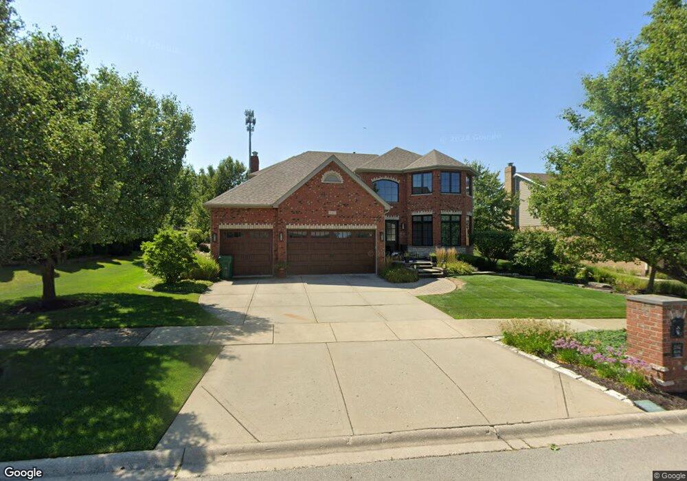
1042 Hilltop Dr Lemont, IL 60439
Northeast Lemont NeighborhoodEstimated Value: $756,024 - $933,000
4
Beds
3
Baths
3,304
Sq Ft
$253/Sq Ft
Est. Value
About This Home
This home is located at 1042 Hilltop Dr, Lemont, IL 60439 and is currently estimated at $836,506, approximately $253 per square foot. 1042 Hilltop Dr is a home located in Cook County with nearby schools including Oakwood School, River Valley School, and Old Quarry Middle School.
Ownership History
Date
Name
Owned For
Owner Type
Purchase Details
Closed on
Jul 6, 2005
Sold by
O Riordan Concrete Construction Inc
Bought by
Milas Wayde E and Milas Kathleen M
Current Estimated Value
Home Financials for this Owner
Home Financials are based on the most recent Mortgage that was taken out on this home.
Original Mortgage
$770,000
Interest Rate
6%
Mortgage Type
Unknown
Create a Home Valuation Report for This Property
The Home Valuation Report is an in-depth analysis detailing your home's value as well as a comparison with similar homes in the area
Home Values in the Area
Average Home Value in this Area
Purchase History
| Date | Buyer | Sale Price | Title Company |
|---|---|---|---|
| Milas Wayde E | $670,000 | Multiple |
Source: Public Records
Mortgage History
| Date | Status | Borrower | Loan Amount |
|---|---|---|---|
| Closed | Milas Wayde E | $770,000 |
Source: Public Records
Tax History Compared to Growth
Tax History
| Year | Tax Paid | Tax Assessment Tax Assessment Total Assessment is a certain percentage of the fair market value that is determined by local assessors to be the total taxable value of land and additions on the property. | Land | Improvement |
|---|---|---|---|---|
| 2024 | $12,396 | $62,965 | $7,958 | $55,007 |
| 2023 | $8,105 | $69,001 | $7,958 | $61,043 |
| 2022 | $8,105 | $36,806 | $7,003 | $29,803 |
| 2021 | $7,878 | $36,805 | $7,002 | $29,803 |
| 2020 | $8,015 | $36,805 | $7,002 | $29,803 |
| 2019 | $9,179 | $43,115 | $7,002 | $36,113 |
| 2018 | $9,027 | $43,115 | $7,002 | $36,113 |
| 2017 | $8,906 | $43,115 | $7,002 | $36,113 |
| 2016 | $8,719 | $39,430 | $5,729 | $33,701 |
| 2015 | $8,820 | $39,430 | $5,729 | $33,701 |
| 2014 | $8,918 | $39,430 | $5,729 | $33,701 |
| 2013 | $10,421 | $48,475 | $5,729 | $42,746 |
Source: Public Records
Map
Nearby Homes
- 390 Kromray Rd
- 611 Houston St
- 11174 Tuscany Ln
- 606 Porter St
- 614 Czacki St
- 11716 Center Dr
- 700 Czacki St
- 1216 Country Ln
- 414 Hillview Ct
- 12444 Killarney Dr
- 12185 Morandi Ct
- 12183 Morandi Ct
- 1200 Leinster Dr
- 523 Talcott Ave
- 14517 Albany Ave
- 1156 Covington Dr
- 207 E Custer St
- 714 Walnut St
- 12203 Walker Rd
- 1297 Mccarthy Rd
- 1040 Hilltop Dr
- 1044 Hilltop Dr
- 9 Melshane Ct
- 7 Melshane Ct
- 1036 Hilltop Dr
- 1046 Hilltop Dr
- 1043 Hilltop Dr
- 5 Melshane Ct
- 1041 Hilltop Dr
- 1045 Hilltop Dr
- 5 Wexford Ct
- 1032 Hilltop Dr
- 11 Melshane Ct
- 1039 Hilltop Dr
- 1048 Hilltop Dr
- 3 Wexford Ct
- 3 Melshane Ct
- 1047 Hilltop Dr
- 1029 Hilltop Dr
- 1028 Hilltop Dr