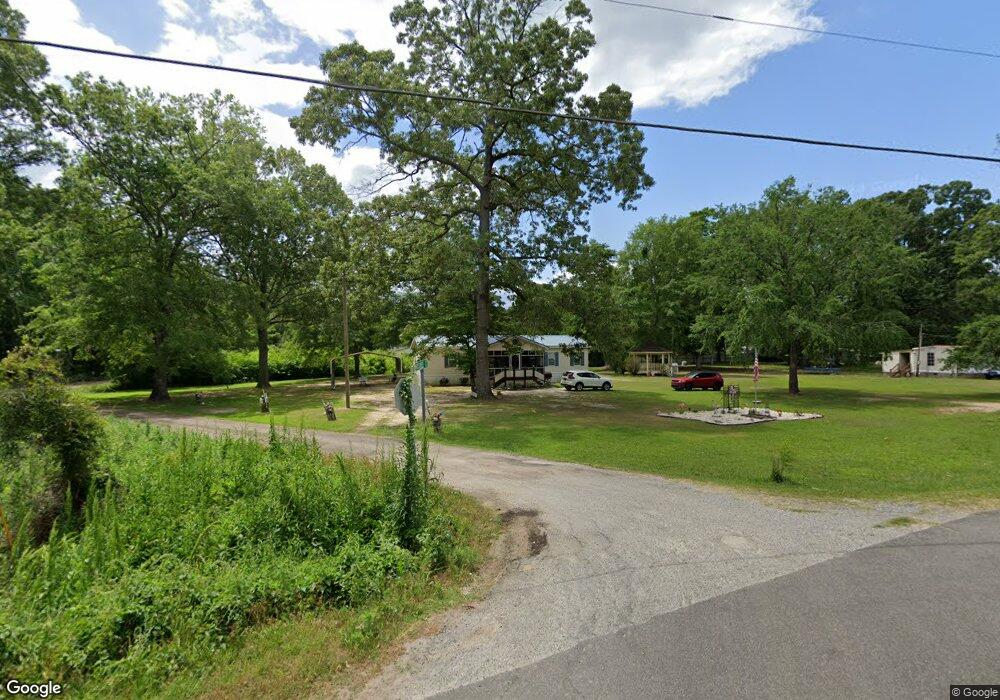
1042 Mosstree Ct Manning, SC 29102
Estimated Value: $73,889 - $220,000
--
Bed
--
Bath
--
Sq Ft
1
Acres
About This Home
This home is located at 1042 Mosstree Ct, Manning, SC 29102 and is currently estimated at $161,963. 1042 Mosstree Ct is a home with nearby schools including Manning Early Childhood Center, Manning Primary School, and Manning Elementary School.
Ownership History
Date
Name
Owned For
Owner Type
Purchase Details
Closed on
Jun 20, 2025
Sold by
Bissonnette Brenda
Bought by
Bissonnette Brenda and Flashman Catherine A
Current Estimated Value
Purchase Details
Closed on
Jan 18, 2006
Sold by
Logan Dolly O
Bought by
Bissonnette Earle M and Bissonnette Brenda
Home Financials for this Owner
Home Financials are based on the most recent Mortgage that was taken out on this home.
Original Mortgage
$28,000
Interest Rate
6.22%
Mortgage Type
Purchase Money Mortgage
Create a Home Valuation Report for This Property
The Home Valuation Report is an in-depth analysis detailing your home's value as well as a comparison with similar homes in the area
Home Values in the Area
Average Home Value in this Area
Purchase History
| Date | Buyer | Sale Price | Title Company |
|---|---|---|---|
| Bissonnette Brenda | -- | None Listed On Document | |
| Bissonnette Earle M | $56,000 | None Available |
Source: Public Records
Mortgage History
| Date | Status | Borrower | Loan Amount |
|---|---|---|---|
| Previous Owner | Bissonnette Earle M | $28,000 |
Source: Public Records
Tax History Compared to Growth
Tax History
| Year | Tax Paid | Tax Assessment Tax Assessment Total Assessment is a certain percentage of the fair market value that is determined by local assessors to be the total taxable value of land and additions on the property. | Land | Improvement |
|---|---|---|---|---|
| 2024 | $183 | $1,018 | $599 | $419 |
| 2023 | $179 | $1,528 | $878 | $650 |
| 2022 | $194 | $1,018 | $585 | $433 |
| 2021 | $170 | $1,329 | $849 | $480 |
| 2020 | $170 | $886 | $0 | $0 |
| 2019 | $157 | $886 | $0 | $0 |
| 2018 | $148 | $886 | $0 | $0 |
| 2017 | $146 | $882 | $0 | $0 |
| 2016 | $141 | $882 | $0 | $0 |
| 2015 | $126 | $770 | $370 | $400 |
| 2014 | $354 | $1,155 | $555 | $600 |
| 2013 | -- | $1,155 | $555 | $600 |
Source: Public Records
Map
Nearby Homes
- 1075 Mockingbird Ln
- 1401 Charles Dr
- 1156 W A Gamble Rd
- 1193 Newman Cir
- 1649 Lemon Ave
- 1062 Manning Dr
- 1407 Edmonds Way
- 1339 Nightfall Ln
- 1390 Nightfall Ln
- 1228 Lesesne Dr
- 1063 Birdie Ct
- 1213 Lesesne Dr
- 1386 Forest Lake Dr
- 1030 Levi St
- 1044 Levi St
- 1026 Carolina Way Unit Lot 79
- 1026 Carolina Way
- 1129 Levi St
- 1015 Carolina Way Unit Lot 72
- 1365 Harbor House Dr
- 1037 Mosstree Ct
- 1377 Harbor House Dr
- 1176 Mosstree Ct
- 1399 Harbor House Dr
- 1299 Harbor House Dr
- 1324 Mosstree Ct
- 1364 Harbor House Dr
- 1110 Charles Dr
- 1390 Harbor House Dr
- 1300 Harbor House Dr
- 1401 Harbor House Dr
- 0 Mosstree Ct
- 1400 Harbor House Dr
- 1030 Charles Dr
- 1436 Harbor House Dr
- 1374 Mosstree Ct
- 1374 Mosstree Ct
- 1185 Mosstree Ct
- 1310 Harbor House Dr