1042 Pit A Tat Rd Kershaw, SC 29067
Estimated Value: $184,000 - $479,000
--
Bed
2
Baths
1,820
Sq Ft
$173/Sq Ft
Est. Value
About This Home
This home is located at 1042 Pit A Tat Rd, Kershaw, SC 29067 and is currently estimated at $314,638, approximately $172 per square foot. 1042 Pit A Tat Rd is a home located in Lancaster County with nearby schools including Kershaw Elementary School, Andrew Jackson Middle School, and Andrew Jackson High School.
Ownership History
Date
Name
Owned For
Owner Type
Purchase Details
Closed on
Jul 16, 2019
Sold by
Rogers Bobby D and Rogers Catherine F
Bought by
Haile Gold Mine Inc
Current Estimated Value
Purchase Details
Closed on
Apr 23, 2015
Sold by
The Bank Of New York Mellon
Bought by
Rogers Bobby D and Rogers Catherine F
Purchase Details
Closed on
Jul 17, 2014
Sold by
Lake William L and Case #13-Cp-29-1263
Bought by
The Bank Of New York Mellon and The Bank Of New York
Purchase Details
Closed on
Nov 21, 2003
Sold by
Magnolia Bay Homes
Bought by
Lake William L
Purchase Details
Closed on
Oct 6, 2003
Sold by
Ives Charlene P
Bought by
Magnolia Bay Homes Llc
Create a Home Valuation Report for This Property
The Home Valuation Report is an in-depth analysis detailing your home's value as well as a comparison with similar homes in the area
Home Values in the Area
Average Home Value in this Area
Purchase History
| Date | Buyer | Sale Price | Title Company |
|---|---|---|---|
| Haile Gold Mine Inc | $250,000 | None Available | |
| Rogers Bobby D | $60,000 | -- | |
| The Bank Of New York Mellon | $2,500 | -- | |
| Lake William L | $167,500 | -- | |
| Magnolia Bay Homes Llc | $22,950 | -- |
Source: Public Records
Tax History Compared to Growth
Tax History
| Year | Tax Paid | Tax Assessment Tax Assessment Total Assessment is a certain percentage of the fair market value that is determined by local assessors to be the total taxable value of land and additions on the property. | Land | Improvement |
|---|---|---|---|---|
| 2024 | $292 | $876 | $876 | $0 |
| 2023 | $291 | $876 | $876 | $0 |
| 2022 | $290 | $876 | $876 | $0 |
| 2021 | $286 | $876 | $876 | $0 |
| 2020 | $285 | $876 | $876 | $0 |
| 2019 | $1,829 | $5,408 | $584 | $4,824 |
| 2018 | $1,760 | $5,408 | $584 | $4,824 |
| 2017 | $810 | $0 | $0 | $0 |
| 2016 | $2,444 | $0 | $0 | $0 |
| 2015 | $2,203 | $0 | $0 | $0 |
| 2014 | $2,203 | $0 | $0 | $0 |
| 2013 | $2,203 | $0 | $0 | $0 |
Source: Public Records
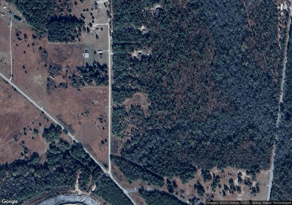
Map
Nearby Homes
- 1163 Pit-A-tat
- Flat Creek Rd
- 3439 Hornebeam St
- 7818 Old Jefferson Hwy
- 2399 Gold Mine Hwy
- 000 Feather Run Rd
- 1777 Overbrook Rd
- 12.85 Acres Flat Creek Rd
- 000 Fork Hill Rd
- 5368 Flat Creek Rd
- 1801 Overbrook Rd
- 9552 Flat Creek Rd
- 1930 Gold Mine Hwy
- Blackwell Dr
- Blackwell Dr
- 4565 Rob Neal Rd
- Blackwell Dr
- 7159 Rev Melvin Adams Rd
- 000 Overbrook Rd
- Buffalo Creek Rd
- 1114 Pit A Tat Rd
- 1065 Pit A Tat Rd
- 4433 Duckwood Rd
- 1105 Pit-A-tat Rd
- 7013 Estridge Ave
- 4442 Duckwood Rd
- 4428 Duckwood Rd
- 4430 Duckwood Rd
- 4373 Duckwood Rd
- 1175 Pit A Tat Rd
- 1175 Pit A Tat Rd Unit 6
- 7071 Estridge Ave
- 7248 Flat Creek Rd
- 3962 Gold Mine Hwy
- 3962 Gold Mine Hwy
- 4325 Duckwood Rd
- 7238 Flat Creek Rd
- 7410 Flat Creek Rd
- 3734 Gold Mine Hwy
- 7226 Flat Creek Rd