1042 Railroad Ave Claxton, GA 30417
Estimated Value: $187,000 - $302,265
3
Beds
2
Baths
1,689
Sq Ft
$146/Sq Ft
Est. Value
About This Home
This home is located at 1042 Railroad Ave, Claxton, GA 30417 and is currently estimated at $246,088, approximately $145 per square foot. 1042 Railroad Ave is a home located in Evans County with nearby schools including Claxton Elementary School, Second Chance, and Claxton Middle School.
Ownership History
Date
Name
Owned For
Owner Type
Purchase Details
Closed on
Oct 27, 2021
Sold by
Kaminsky Ross David
Bought by
Kaminsky Garrett H and Garrett H Kaminsky Trust
Current Estimated Value
Purchase Details
Closed on
Jul 10, 2020
Sold by
Peterson Paul E
Bought by
Kaminsky Ross David and Kaminsky Garrett H
Home Financials for this Owner
Home Financials are based on the most recent Mortgage that was taken out on this home.
Original Mortgage
$236,000
Interest Rate
3.2%
Mortgage Type
New Conventional
Purchase Details
Closed on
Mar 11, 2003
Sold by
The Claxton Bank
Bought by
Peterson Paul E and Peterson Sonja K
Create a Home Valuation Report for This Property
The Home Valuation Report is an in-depth analysis detailing your home's value as well as a comparison with similar homes in the area
Home Values in the Area
Average Home Value in this Area
Purchase History
| Date | Buyer | Sale Price | Title Company |
|---|---|---|---|
| Kaminsky Garrett H | -- | -- | |
| Kaminsky Ross David | $295,000 | -- | |
| Peterson Paul E | -- | -- |
Source: Public Records
Mortgage History
| Date | Status | Borrower | Loan Amount |
|---|---|---|---|
| Previous Owner | Kaminsky Ross David | $236,000 |
Source: Public Records
Tax History Compared to Growth
Tax History
| Year | Tax Paid | Tax Assessment Tax Assessment Total Assessment is a certain percentage of the fair market value that is determined by local assessors to be the total taxable value of land and additions on the property. | Land | Improvement |
|---|---|---|---|---|
| 2024 | $2,326 | $95,480 | $13,120 | $82,360 |
| 2023 | $1,763 | $64,000 | $8,680 | $55,320 |
| 2022 | $1,643 | $64,000 | $8,680 | $55,320 |
| 2021 | $1,941 | $64,000 | $8,680 | $55,320 |
| 2020 | $1,667 | $64,320 | $8,680 | $55,640 |
| 2019 | $1,583 | $64,320 | $8,680 | $55,640 |
| 2018 | $1,727 | $63,120 | $8,680 | $54,440 |
| 2017 | $1,689 | $64,480 | $8,680 | $55,800 |
| 2016 | $1,538 | $57,360 | $6,520 | $50,840 |
| 2015 | -- | $59,120 | $7,400 | $51,720 |
| 2014 | -- | $59,120 | $7,400 | $51,720 |
| 2013 | -- | $61,040 | $7,400 | $53,640 |
Source: Public Records
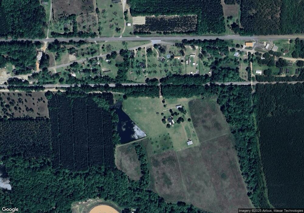
Map
Nearby Homes
- 0 Gus Tippins Rd Unit 25437413
- 0 Sunbury Rd Unit Tract 6
- 0 Sunbury Rd Unit Tract 4
- 0 Sunbury Rd Unit TRACT 6 10599356
- 0 Sunbury Rd Unit TRACT 4 10599355
- 0 George Strickland Rd Unit 10626764
- 304 Mt Pleasant Rd
- 8893 Sunbury Rd
- 13320 Sunbury Rd
- 2571 Edgar Hodges Rd
- 3156 Sterling Rd
- 0 Mosley Rd Unit 10630884
- 326 N River St
- 107 E Liberty St
- 12 S Duval St
- 0 Deloach Church Rd Unit 10652423
- 0 Ga Hwy 129 N Unit 10564606
- 320 N Duval St
- 201 New Dr
- 107 Marguerite St
- 1042 Railroad St
- 940 Old Savannah Hwy
- 956 Old Savannah Hwy
- 917 Old Savannah Hwy
- 1076 Old Savannah Hwy
- 1104 Old Savannah Hwy
- 1136 Old Savannah Hwy
- 16405 Us Highway 280
- 16633 Us Highway 280
- 722 Old Savannah Hwy
- 16453 Us Highway 280
- 17011 Us Highway 280
- 700 Old Savannah Hwy
- 699 Old Savannah Hwy
- 663 W Main St
- 676 Old Savannah Hwy
- 1208 Old Savannah Hwy
- 17201 Us Highway 280
- 631 W Main St
- 521 Sheppard Ave