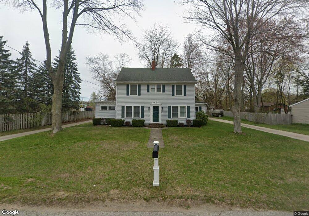
1042 Vick Rd Norton Shores, MI 49441
Estimated Value: $280,000 - $360,000
3
Beds
2
Baths
2,528
Sq Ft
$132/Sq Ft
Est. Value
About This Home
This home is located at 1042 Vick Rd, Norton Shores, MI 49441 and is currently estimated at $333,731, approximately $132 per square foot. 1042 Vick Rd is a home located in Muskegon County with nearby schools including Mona Shores High School, Edgewood Elementary Academy, and Dr. Martin Luther King Academy.
Ownership History
Date
Name
Owned For
Owner Type
Purchase Details
Closed on
May 31, 2006
Sold by
Lebaron Thomas
Bought by
Lebaron Shelby
Current Estimated Value
Purchase Details
Closed on
Jan 21, 2004
Sold by
Zimmerman Richard Glenn
Bought by
Lebaron Shelby J
Home Financials for this Owner
Home Financials are based on the most recent Mortgage that was taken out on this home.
Original Mortgage
$109,900
Outstanding Balance
$51,325
Interest Rate
5.88%
Mortgage Type
Unknown
Estimated Equity
$282,406
Create a Home Valuation Report for This Property
The Home Valuation Report is an in-depth analysis detailing your home's value as well as a comparison with similar homes in the area
Home Values in the Area
Average Home Value in this Area
Purchase History
| Date | Buyer | Sale Price | Title Company |
|---|---|---|---|
| Lebaron Shelby | -- | None Available | |
| Lebaron Shelby J | -- | -- |
Source: Public Records
Mortgage History
| Date | Status | Borrower | Loan Amount |
|---|---|---|---|
| Open | Lebaron Shelby J | $109,900 |
Source: Public Records
Tax History Compared to Growth
Tax History
| Year | Tax Paid | Tax Assessment Tax Assessment Total Assessment is a certain percentage of the fair market value that is determined by local assessors to be the total taxable value of land and additions on the property. | Land | Improvement |
|---|---|---|---|---|
| 2025 | $3,156 | $167,600 | $0 | $0 |
| 2024 | $2,474 | $152,800 | $0 | $0 |
| 2023 | $2,363 | $134,900 | $0 | $0 |
| 2022 | $2,880 | $113,000 | $0 | $0 |
| 2021 | $2,798 | $102,000 | $0 | $0 |
| 2020 | $2,767 | $93,300 | $0 | $0 |
| 2019 | $2,716 | $85,900 | $0 | $0 |
| 2018 | $2,652 | $76,800 | $0 | $0 |
| 2017 | $2,591 | $76,400 | $0 | $0 |
| 2016 | $2,006 | $70,700 | $0 | $0 |
| 2015 | -- | $65,700 | $0 | $0 |
| 2014 | $2,407 | $66,600 | $0 | $0 |
| 2013 | -- | $64,600 | $0 | $0 |
Source: Public Records
Map
Nearby Homes
- 1068 Englewood Ave
- 1130 Englewood Ave
- 4468 Spruce Ct
- 1067 Aspen Dr
- 945 Petrie Ave
- 4476 Cedar Ln Unit 54
- V/L 4535 Thompson Rd
- 1065 Wilson Ct
- 4535 Thompson Rd
- 4638 Lauren Dr
- 1201 Shettler Rd
- 4102 Highgate Rd
- 4060 Buck St
- 1454 Airport Rd
- 3920 Highgate Rd
- 4677 Harvey St
- 4085 Quainton Rd
- V/L E Ellis Rd
- 1404 E Ellis Rd
- 4769 Harvey St
- 1031 Vick Rd
- 1052 Vick Rd
- 1041 Vick Rd
- 1062 Vick Rd
- 1037 Englewood Ave
- 1065 Vick Rd
- 1059 Englewood Ave
- 1076 Vick Rd
- 1058 Walnut Grove Dr
- 1083 Englewood Ave
- 1064 Walnut Grove Dr
- 1081 Vick Rd
- 32 Englewood Ave
- 31 Englewood Ave
- 1054 Walnut Grove Dr
- 1050 Walnut Grove Dr
- 1084 Walnut Grove Dr Unit 17
- 1091 Vick Rd
- 1082 Walnut Grove Dr
- 1090 Vick Rd