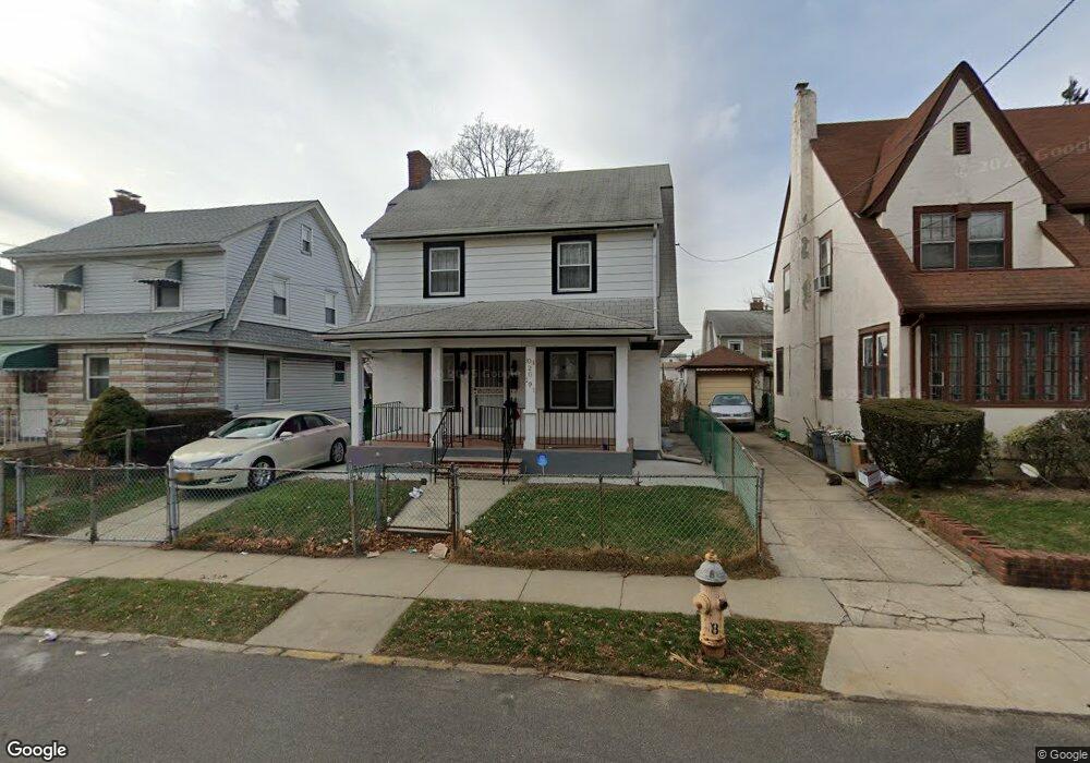
10420 191st St Saint Albans, NY 11412
Hollis NeighborhoodEstimated Value: $599,000 - $736,000
--
Bed
--
Bath
1,280
Sq Ft
$504/Sq Ft
Est. Value
About This Home
This home is located at 10420 191st St, Saint Albans, NY 11412 and is currently estimated at $645,313, approximately $504 per square foot. 10420 191st St is a home located in Queens County with nearby schools including P.S. 118 Lorraine Hansberry, I.S. 192 The Linden, and Wellspring Elementary & Middle.
Ownership History
Date
Name
Owned For
Owner Type
Purchase Details
Closed on
Nov 18, 2013
Sold by
Amos Carol A and Hawes Patricia E
Bought by
Jahan Israt
Current Estimated Value
Home Financials for this Owner
Home Financials are based on the most recent Mortgage that was taken out on this home.
Original Mortgage
$198,000
Outstanding Balance
$147,560
Interest Rate
4.29%
Mortgage Type
New Conventional
Estimated Equity
$497,753
Purchase Details
Closed on
May 24, 2004
Sold by
Administrator Of The Estate Of Lillian D and Amos Carol A
Bought by
Hawes Carol A and Hawes Patricia E
Purchase Details
Closed on
Jan 30, 1997
Sold by
Wood Lillian D
Bought by
Wood Lillian D and Hawes Patricia E
Create a Home Valuation Report for This Property
The Home Valuation Report is an in-depth analysis detailing your home's value as well as a comparison with similar homes in the area
Home Values in the Area
Average Home Value in this Area
Purchase History
| Date | Buyer | Sale Price | Title Company |
|---|---|---|---|
| Jahan Israt | $330,000 | -- | |
| Jahan Israt | $330,000 | -- | |
| Hawes Carol A | -- | -- | |
| Hawes Carol A | -- | -- | |
| Wood Lillian D | -- | First American Title Ins Co | |
| Wood Lillian D | -- | First American Title Ins Co |
Source: Public Records
Mortgage History
| Date | Status | Borrower | Loan Amount |
|---|---|---|---|
| Open | Jahan Israt | $198,000 | |
| Closed | Jahan Israt | $198,000 |
Source: Public Records
Tax History Compared to Growth
Tax History
| Year | Tax Paid | Tax Assessment Tax Assessment Total Assessment is a certain percentage of the fair market value that is determined by local assessors to be the total taxable value of land and additions on the property. | Land | Improvement |
|---|---|---|---|---|
| 2025 | $4,929 | $26,015 | $8,462 | $17,553 |
| 2024 | $4,929 | $24,542 | $8,276 | $16,266 |
| 2023 | $4,651 | $23,155 | $7,424 | $15,731 |
| 2022 | $4,622 | $38,400 | $12,120 | $26,280 |
| 2021 | $4,836 | $39,240 | $12,120 | $27,120 |
| 2020 | $4,589 | $35,160 | $12,120 | $23,040 |
| 2019 | $4,278 | $33,600 | $12,120 | $21,480 |
| 2018 | $3,933 | $19,296 | $7,811 | $11,485 |
| 2017 | $3,933 | $19,296 | $8,585 | $10,711 |
| 2016 | $3,828 | $19,296 | $8,585 | $10,711 |
| 2015 | $2,158 | $18,066 | $10,484 | $7,582 |
| 2014 | $2,158 | $17,044 | $11,857 | $5,187 |
Source: Public Records
Map
Nearby Homes
- 104-11 188th St
- 190-30 103rd Ave
- 10533 Farmers Blvd
- 19027 109th Rd
- 10532 192nd St
- 10220 189th St
- 102-35 187th St
- 10211 187th St
- 104-40 194th St
- 187-23 Brinkerhoff Ave
- 193-21 109th Rd
- 194-10 Hollis Ave
- 19319 109th Rd
- 183-67 Dunlop Ave
- 185-05 Henderson Ave
- 111-06 Farmers Blvd
- 188-31 Jordan Ave
- 184-15 Henderson Ave
- 19404 110th Rd
- 188-14 Woodhull Ave
- 10422 191st St
- 10416 191st St
- 10428 191st St
- 104-28 191st St
- 10428 191st St
- 10410 191st St
- 10417 Farmers Blvd
- 10413 Farmers Blvd
- 10421 Farmers Blvd
- 10421 Farmers Blvd
- 104-09 Farmers Blvd
- 10409 Farmers Blvd
- 10425 Farmers Blvd
- 104-20 191st St
- 104-25 Farmers Blvd
- 104-13 191st St
- 10417 191st St
- 19012 104th Ave
- 10421 191st St
- 19008 104th Ave