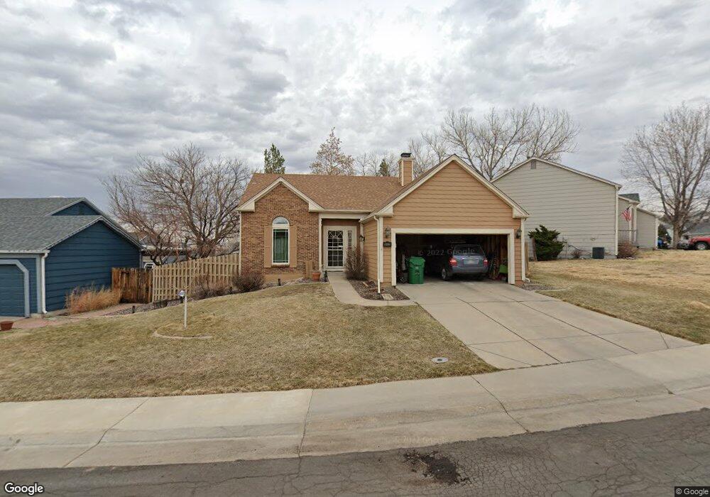
10420 Routt Ln Westminster, CO 80021
Walnut Grove NeighborhoodEstimated Value: $531,957 - $598,000
3
Beds
2
Baths
1,985
Sq Ft
$287/Sq Ft
Est. Value
About This Home
This home is located at 10420 Routt Ln, Westminster, CO 80021 and is currently estimated at $569,239, approximately $286 per square foot. 10420 Routt Ln is a home located in Jefferson County with nearby schools including Lukas Elementary School, Wayne Carle Middle School, and Standley Lake High School.
Ownership History
Date
Name
Owned For
Owner Type
Purchase Details
Closed on
Apr 26, 2012
Sold by
Morgan Charles R and Morgan Barbara J
Bought by
Stoner Kayoko
Current Estimated Value
Home Financials for this Owner
Home Financials are based on the most recent Mortgage that was taken out on this home.
Original Mortgage
$174,400
Outstanding Balance
$119,506
Interest Rate
3.97%
Mortgage Type
New Conventional
Estimated Equity
$449,733
Create a Home Valuation Report for This Property
The Home Valuation Report is an in-depth analysis detailing your home's value as well as a comparison with similar homes in the area
Home Values in the Area
Average Home Value in this Area
Purchase History
| Date | Buyer | Sale Price | Title Company |
|---|---|---|---|
| Stoner Kayoko | $218,000 | -- |
Source: Public Records
Mortgage History
| Date | Status | Borrower | Loan Amount |
|---|---|---|---|
| Open | Stoner Kayoko | $174,400 |
Source: Public Records
Tax History
| Year | Tax Paid | Tax Assessment Tax Assessment Total Assessment is a certain percentage of the fair market value that is determined by local assessors to be the total taxable value of land and additions on the property. | Land | Improvement |
|---|---|---|---|---|
| 2024 | $2,547 | $33,441 | $12,817 | $20,624 |
| 2023 | $2,547 | $33,441 | $12,817 | $20,624 |
| 2022 | $2,223 | $28,586 | $7,990 | $20,596 |
| 2021 | $2,256 | $29,408 | $8,220 | $21,188 |
| 2020 | $2,120 | $27,794 | $7,855 | $19,939 |
| 2019 | $2,086 | $27,794 | $7,855 | $19,939 |
| 2018 | $1,757 | $22,639 | $5,785 | $16,854 |
| 2017 | $1,574 | $22,639 | $5,785 | $16,854 |
| 2016 | $1,472 | $19,654 | $5,422 | $14,232 |
| 2015 | $1,203 | $19,654 | $5,422 | $14,232 |
| 2014 | $1,203 | $14,972 | $4,680 | $10,292 |
Source: Public Records
Map
Nearby Homes
- 10527 Routt Ln
- 11485 W 105th Way
- 10541 Routt St
- 10306 Owens St
- 10131 Routt St
- 10289 Oak St
- 10429 Owens Cir
- 10569 Pierson Cir
- 10741 W 104th Ave
- 10623 Van Gordon Way
- 10632 Van Gordon Way Unit 1
- 10680 W Big Horn Cir
- 10721 Owens St
- 12325 Sandstone Ct
- 12636 Sandstone Dr
- 10587 W 107th Ave
- 14265 Currant St
- 14261 Currant St
- 14241 Currant St
- 13063 Sandstone Dr
- 10430 Routt Ln
- 11429 W 104th Dr
- 10459 Robb Ct
- 10440 Routt Ln
- 11419 W 104th Dr
- 10469 Robb Ct
- 10421 Routt Ln
- 10450 Routt Ln
- 10431 Routt Ln
- 11409 W 104th Dr
- 11438 W 104th Dr
- 11448 W 104th Dr
- 10479 Robb Ct
- 10448 Robb Ct
- 11428 W 104th Dr
- 10460 Routt Ln
- 11331 W 104th Dr
- 10451 Routt Ln
- 11418 W 104th Dr
- 10489 Robb Ct
Your Personal Tour Guide
Ask me questions while you tour the home.