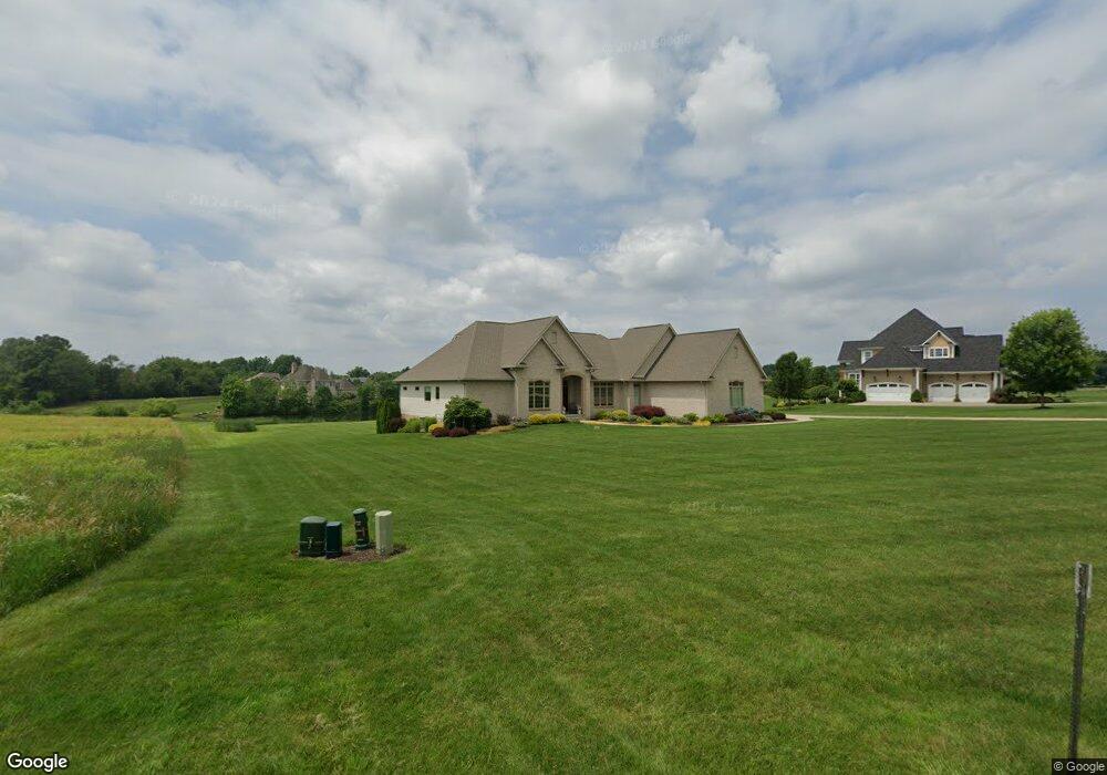
10420 Thicket Trail Doylestown, OH 44230
Estimated Value: $730,000 - $765,000
2
Beds
3
Baths
2,885
Sq Ft
$260/Sq Ft
Est. Value
About This Home
This home is located at 10420 Thicket Trail, Doylestown, OH 44230 and is currently estimated at $749,852, approximately $259 per square foot. 10420 Thicket Trail is a home with nearby schools including Franklin Elementary School, Wadsworth Middle School, and Central Intermediate School.
Ownership History
Date
Name
Owned For
Owner Type
Purchase Details
Closed on
Jul 23, 2018
Sold by
Maggio Frank D and Maggio Paula A
Bought by
Maggio Frank D and Maggio Paula A
Current Estimated Value
Purchase Details
Closed on
May 15, 2006
Sold by
Eastern Sales Development Inc
Bought by
Maggio Frank D
Create a Home Valuation Report for This Property
The Home Valuation Report is an in-depth analysis detailing your home's value as well as a comparison with similar homes in the area
Home Values in the Area
Average Home Value in this Area
Purchase History
| Date | Buyer | Sale Price | Title Company |
|---|---|---|---|
| Maggio Frank D | -- | None Available | |
| Maggio Frank D | $96,900 | -- |
Source: Public Records
Tax History
| Year | Tax Paid | Tax Assessment Tax Assessment Total Assessment is a certain percentage of the fair market value that is determined by local assessors to be the total taxable value of land and additions on the property. | Land | Improvement |
|---|---|---|---|---|
| 2024 | $9,934 | $213,190 | $49,710 | $163,480 |
| 2023 | $9,287 | $213,190 | $49,710 | $163,480 |
| 2022 | $9,328 | $213,190 | $49,710 | $163,480 |
| 2021 | $9,236 | $177,660 | $41,430 | $136,230 |
| 2020 | $8,402 | $177,660 | $41,430 | $136,230 |
| 2019 | $8,417 | $177,660 | $41,430 | $136,230 |
| 2018 | $8,609 | $170,460 | $44,330 | $126,130 |
| 2017 | $8,613 | $170,460 | $44,330 | $126,130 |
| 2016 | $8,785 | $170,460 | $44,330 | $126,130 |
| 2015 | $8,894 | $164,600 | $41,430 | $123,170 |
| 2014 | $8,493 | $164,600 | $41,430 | $123,170 |
| 2013 | $1,650 | $29,750 | $29,750 | $0 |
Source: Public Records
Map
Nearby Homes
- 442 Madison Trail
- 970 Eastern Rd
- V/L approx 67.56ac Gates St
- 15500 Freedom Dr
- 9894 Silvercreek Rd
- 500 W Clinton St
- 497 Gates St
- 233 Homan Dr
- 0 Akron Rd Unit 5123781
- V/L 1050 Melanie Ln
- VL 1067 Homan Dr
- 1014 Marissa Dr
- 593 Silvercrest Rd
- 436 N Portage St
- 14761 Calaboone Rd
- 247 Hillside Dr
- 93 Cleveland Ave
- 680 Thorn Way
- 620 Thorn Way
- 580 Thorn Way
- 10440 Thicket Trail
- 10400 Thicket Trail
- 10380 Thicket Trail
- 10363 Quail Lake Cir
- 10475 Thicket Trail
- 10360 Thicket Trail
- 10480 Thicket Trail
- 10395 Thicket Trail
- 10353 Quail Lake Cir
- 10435 Thicket Trail
- 10415 Thicket Trail
- 10370 Quail Lake Cir
- 10495 Ticket Trail
- 10495 Thicket Trail
- 519 Eastern Rd
- 10375 Thicket Trail
- 10333 Quail Lake Cir
- 10333 Quail Lake Cir
- 10355 Thicket Trail
- 10340 Thicket Trail
Your Personal Tour Guide
Ask me questions while you tour the home.