10423 SW Mount Adams Dr Beaverton, OR 97007
Aloha South NeighborhoodEstimated Value: $1,338,000 - $1,465,000
5
Beds
4
Baths
4,496
Sq Ft
$314/Sq Ft
Est. Value
About This Home
This home is located at 10423 SW Mount Adams Dr, Beaverton, OR 97007 and is currently estimated at $1,413,092, approximately $314 per square foot. 10423 SW Mount Adams Dr is a home located in Washington County with nearby schools including Nancy Ryles Elementary School, Highland Park Middle School, and Mountainside High School.
Ownership History
Date
Name
Owned For
Owner Type
Purchase Details
Closed on
Jul 16, 2003
Sold by
Reloaction
Bought by
Crawford Scott M and Crawford Karen L
Current Estimated Value
Home Financials for this Owner
Home Financials are based on the most recent Mortgage that was taken out on this home.
Original Mortgage
$549,000
Outstanding Balance
$232,000
Interest Rate
5.18%
Mortgage Type
Unknown
Estimated Equity
$1,181,092
Purchase Details
Closed on
Feb 6, 2003
Sold by
Leland Douglas L and Leland Karen H
Bought by
Reloaction
Create a Home Valuation Report for This Property
The Home Valuation Report is an in-depth analysis detailing your home's value as well as a comparison with similar homes in the area
Home Values in the Area
Average Home Value in this Area
Purchase History
| Date | Buyer | Sale Price | Title Company |
|---|---|---|---|
| Crawford Scott M | $799,000 | Chicago Title Insurance Comp | |
| Reloaction | $814,750 | Chicago Title |
Source: Public Records
Mortgage History
| Date | Status | Borrower | Loan Amount |
|---|---|---|---|
| Open | Crawford Scott M | $549,000 |
Source: Public Records
Tax History Compared to Growth
Tax History
| Year | Tax Paid | Tax Assessment Tax Assessment Total Assessment is a certain percentage of the fair market value that is determined by local assessors to be the total taxable value of land and additions on the property. | Land | Improvement |
|---|---|---|---|---|
| 2025 | $16,481 | $1,187,030 | -- | -- |
| 2024 | $16,584 | $1,152,460 | -- | -- |
| 2023 | $16,584 | $1,118,900 | $0 | $0 |
| 2022 | $16,325 | $1,118,900 | $0 | $0 |
| 2021 | $15,099 | $1,054,680 | $0 | $0 |
| 2020 | $14,220 | $1,023,970 | $0 | $0 |
| 2019 | $14,217 | $994,150 | $0 | $0 |
| 2018 | $14,033 | $965,200 | $0 | $0 |
| 2017 | $13,030 | $937,090 | $0 | $0 |
| 2016 | $12,486 | $909,800 | $0 | $0 |
| 2015 | $12,038 | $883,310 | $0 | $0 |
| 2014 | $11,690 | $857,590 | $0 | $0 |
Source: Public Records
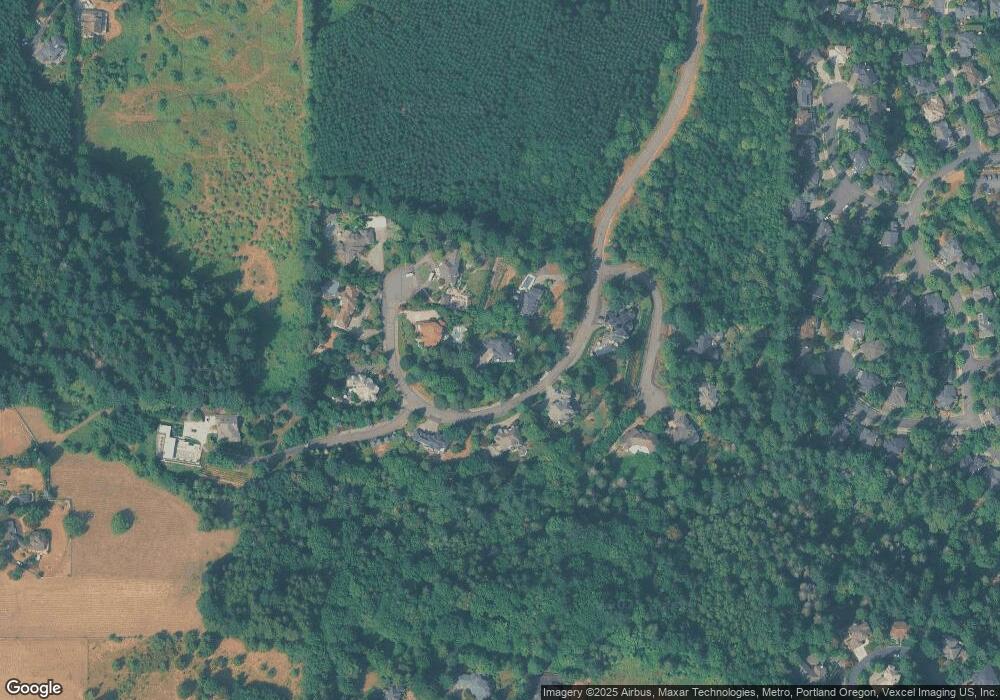
Map
Nearby Homes
- 17071 SW Mount Hood Dr
- 9975 SW Ledgestone Ct
- 16555 SW Red Rock Ct
- 9730 SW 168th Place
- 16240 SW Falcon Dr
- 16075 SW Flicker Ct
- 10585 SW 161st Ct
- 16015 SW Nighthawk Dr
- 10748 SW Oriole Cir
- 11639 SW Champlin Ln
- 9460 SW Moonstone Terrace
- 10850 SW Falcon Ct
- 16327 SW Gemstone Ct
- 15900 SW Breccia Dr
- 10495 SW 155th Ave
- 17960 SW Outlook Ln
- 10105 SW 155th Ave
- 11690 SW 176th Dr
- 17644 SW Watchman Ln
- 17614 SW Watchman Ln
- 10515 SW Mount Adams Dr
- 10395 SW Mount Adams Dr
- 10460 SW Mount Adams Dr
- 10442 SW Mount Adams Dr
- 10478 SW Mount Adams Dr
- 10404 SW Mount Adams Dr
- 10496 SW Mount Adams Dr
- 10534 SW Mount Adams Dr
- 10533 SW Forest Ridge Place
- 10572 SW Mount Adams Dr
- 10506 SW Forest Ridge Place
- 10424 SW Forest Ridge Place
- 10452 SW Forest Ridge Place
- 16460 SW Sanderling Ct
- 16480 SW Sanderling Ct
- 16800 SW Siler Ridge Ln
- 16490 SW Sanderling Ct
- 10305 SW Egret Place
- 10285 SW Egret Place
- 16815 SW Siler Ridge Ln