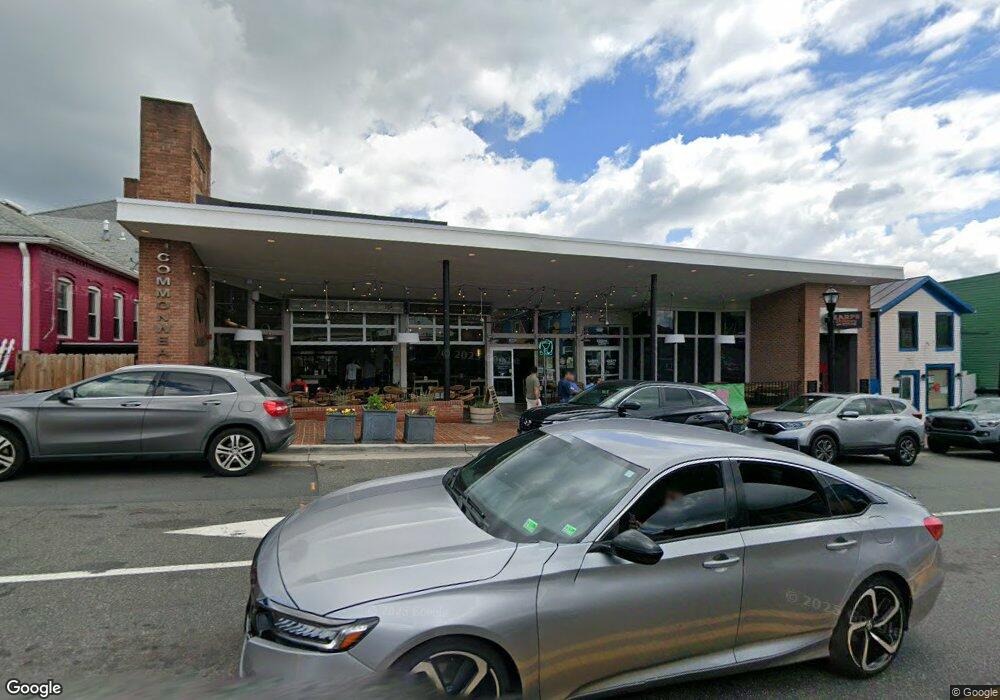
10426 Main St Fairfax, VA 22030
Estimated Value: $3,159,119
--
Bed
--
Bath
19,489
Sq Ft
$162/Sq Ft
Est. Value
About This Home
This home is located at 10426 Main St, Fairfax, VA 22030 and is currently estimated at $3,159,119, approximately $162 per square foot. 10426 Main St is a home located in Fairfax City with nearby schools including Daniels Run Elementary School, Johnson Middle School, and Fairfax High.
Ownership History
Date
Name
Owned For
Owner Type
Purchase Details
Closed on
Oct 14, 2005
Sold by
City Of Fairfax Economic
Bought by
Fairfax Building Associates
Current Estimated Value
Home Financials for this Owner
Home Financials are based on the most recent Mortgage that was taken out on this home.
Original Mortgage
$1,600,000
Outstanding Balance
$857,473
Interest Rate
5.78%
Mortgage Type
Commercial
Estimated Equity
$2,301,646
Create a Home Valuation Report for This Property
The Home Valuation Report is an in-depth analysis detailing your home's value as well as a comparison with similar homes in the area
Home Values in the Area
Average Home Value in this Area
Purchase History
| Date | Buyer | Sale Price | Title Company |
|---|---|---|---|
| Fairfax Building Associates | $2,000,000 | -- |
Source: Public Records
Mortgage History
| Date | Status | Borrower | Loan Amount |
|---|---|---|---|
| Open | Fairfax Building Associates | $1,600,000 |
Source: Public Records
Tax History Compared to Growth
Tax History
| Year | Tax Paid | Tax Assessment Tax Assessment Total Assessment is a certain percentage of the fair market value that is determined by local assessors to be the total taxable value of land and additions on the property. | Land | Improvement |
|---|---|---|---|---|
| 2025 | $54,201 | $4,301,700 | $780,100 | $3,521,600 |
| 2024 | $28,747 | $2,327,700 | $780,100 | $1,547,600 |
| 2023 | $26,912 | $2,261,500 | $709,200 | $1,552,300 |
| 2022 | $22,983 | $1,956,000 | $709,200 | $1,246,800 |
| 2021 | $21,541 | $1,795,100 | $709,200 | $1,085,900 |
| 2020 | $26,135 | $2,453,900 | $709,200 | $1,744,700 |
| 2019 | $22,167 | $1,815,500 | $638,200 | $1,177,300 |
| 2018 | $22,167 | $2,237,700 | $638,200 | $1,599,500 |
| 2017 | $27,412 | $2,237,700 | $638,200 | $1,599,500 |
| 2016 | $15,514 | $2,549,500 | $638,200 | $1,911,300 |
| 2015 | -- | $3,081,300 | $638,200 | $2,443,100 |
| 2014 | -- | $3,228,900 | $638,200 | $2,590,700 |
Source: Public Records
Map
Nearby Homes
- 10353 Main St
- 10351 Sager Ave
- 10328 Sager Ave Unit 402
- 10328 Sager Ave Unit 113
- 10400 Whitehead St
- 10570 Main St Unit 220
- 10419 Courthouse Dr
- 4200 Sideburn Rd
- 10665 Yorktown Ct
- 4126 Berritt St
- 10465 Courtney Dr
- 4026 Walters Ct
- 4200 Allison Cir
- 10634 Pocket Place
- 10632 Pocket Place
- 10719 Viognier Terrace
- 10118 Dwight Ave
- 4206 Collier Rd
- 10723 West Dr Unit 103
- 10723 West Dr Unit 303
- 3989 Chain Bridge Rd
- 10416 Main St
- 10430 Main St
- 10414 Main St
- 10435 North St
- 3977 Chain Bridge Rd Unit 202
- 3971 Chain Bridge Rd
- 10412 Main St
- 10423 Main St
- 10410 Main St
- 10455 North St
- 10417 Main St
- 10440 Main St
- 3976 Chain Bridge Rd
- 3976 Chain Bridge Rd Unit 102
- 3976 Chain Bridge Rd Unit 200
- 3976 Chain Bridge Rd Unit 100
- 3976 Chain Bridge Rd Unit 202
- 4009 Chain Bridge Rd
- 10427 North St Unit 200