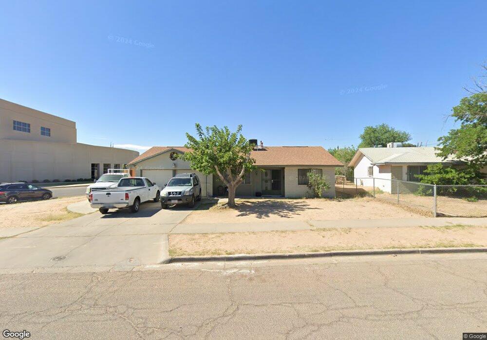
10428 Bywood Dr El Paso, TX 79935
Pico Norte NeighborhoodEstimated Value: $211,000 - $222,000
3
Beds
2
Baths
1,549
Sq Ft
$139/Sq Ft
Est. Value
About This Home
This home is located at 10428 Bywood Dr, El Paso, TX 79935 and is currently estimated at $215,072, approximately $138 per square foot. 10428 Bywood Dr is a home located in El Paso County with nearby schools including East Point Elementary School, Eastwood Middle School, and Eastwood High School.
Ownership History
Date
Name
Owned For
Owner Type
Purchase Details
Closed on
Jan 9, 2007
Sold by
Gonzalez Guadalupe
Bought by
Martinez Ernesto and Martinez Irma
Current Estimated Value
Home Financials for this Owner
Home Financials are based on the most recent Mortgage that was taken out on this home.
Original Mortgage
$68,174
Interest Rate
6.21%
Mortgage Type
Purchase Money Mortgage
Purchase Details
Closed on
Feb 17, 2004
Sold by
Gonzalez Guadalupe and Gonzalez Anita Marie
Bought by
Martinez Ernesto and Martinez Irma
Purchase Details
Closed on
May 18, 1995
Sold by
Braswell Billy S and Braswell Blanche
Bought by
Gonzalez Guadalupe and Gonzalez Anita Marie
Home Financials for this Owner
Home Financials are based on the most recent Mortgage that was taken out on this home.
Original Mortgage
$63,701
Interest Rate
8.34%
Mortgage Type
FHA
Create a Home Valuation Report for This Property
The Home Valuation Report is an in-depth analysis detailing your home's value as well as a comparison with similar homes in the area
Home Values in the Area
Average Home Value in this Area
Purchase History
| Date | Buyer | Sale Price | Title Company |
|---|---|---|---|
| Martinez Ernesto | -- | None Available | |
| Martinez Ernesto | -- | None Available | |
| Gonzalez Guadalupe | -- | -- |
Source: Public Records
Mortgage History
| Date | Status | Borrower | Loan Amount |
|---|---|---|---|
| Previous Owner | Martinez Ernesto | $68,174 | |
| Previous Owner | Gonzalez Guadalupe | $63,701 |
Source: Public Records
Tax History Compared to Growth
Tax History
| Year | Tax Paid | Tax Assessment Tax Assessment Total Assessment is a certain percentage of the fair market value that is determined by local assessors to be the total taxable value of land and additions on the property. | Land | Improvement |
|---|---|---|---|---|
| 2025 | $5,121 | $210,584 | $50,282 | $160,302 |
| 2024 | $5,121 | $186,463 | $26,161 | $160,302 |
| 2023 | $5,121 | $180,218 | $26,161 | $154,057 |
| 2022 | $5,250 | $169,078 | $26,161 | $142,917 |
| 2021 | $4,380 | $134,744 | $26,161 | $108,583 |
| 2020 | $3,885 | $123,000 | $18,686 | $104,314 |
| 2018 | $3,825 | $123,000 | $18,686 | $104,314 |
| 2017 | $3,657 | $119,651 | $18,686 | $100,965 |
| 2016 | $3,657 | $119,651 | $18,686 | $100,965 |
| 2015 | $3,434 | $119,651 | $18,686 | $100,965 |
| 2014 | $3,434 | $120,024 | $18,686 | $101,338 |
Source: Public Records
Map
Nearby Homes
- 2412 Penwood Dr
- 10512 Album Ave
- 2701 Brady Place
- 2801 Brady Place
- 2912 Chaswood St
- 3000 Woodall St
- 2224 Escarpa Dr
- 3101 Vogue Dr
- 10304 Blackwood Ave
- 10309 Woodruff Ct
- 10304 Woodruff Ct
- 3150 N Yarbrough Dr Unit A1
- 10301 Bayo Ave
- 2105 Pacheco Dr
- 3112 Eads Place
- 10145 Singapore Ave
- 10145 Camwood Dr
- 10140 Suez Dr
- 2109 Febrero Dr
- 10313 Byway Dr
- 10424 Bywood Dr
- 10420 Bywood Dr
- 10429 Album Ave
- 10425 Album Ave
- 10427 Bywood Dr
- 10423 Bywood Dr
- 10421 Album Ave
- 10416 Bywood Dr
- 2700 Chaswood St
- 10417 Bywood Dr
- 10417 Album Ave
- 10412 Bywood Dr
- 2708 Chaswood St
- 10420 Cirwood Dr
- 10413 Bywood Dr
- 10413 Album Ave
- 2513 Chaswood St
- 10416 Cirwood Dr
- 2701 Archie Dr
- 2512 Ruewood Place