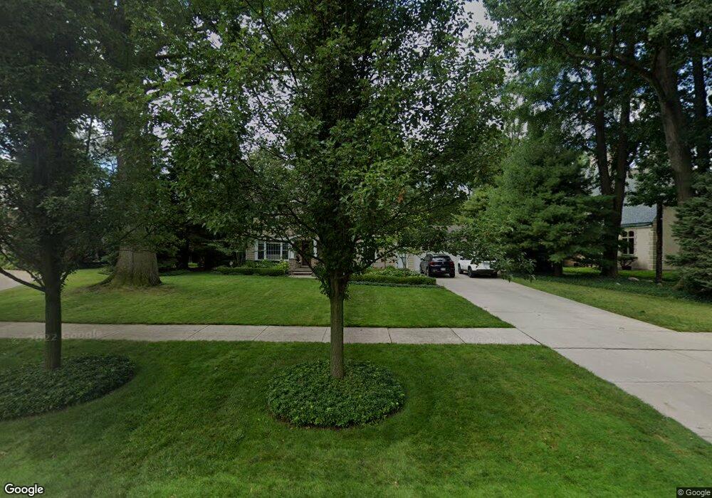
1043 Berkshire Rd Unit Bldg-Unit Grosse Pointe Park, MI 48230
Estimated Value: $644,000 - $739,222
--
Bed
4
Baths
2,297
Sq Ft
$299/Sq Ft
Est. Value
About This Home
This home is located at 1043 Berkshire Rd Unit Bldg-Unit, Grosse Pointe Park, MI 48230 and is currently estimated at $687,306, approximately $299 per square foot. 1043 Berkshire Rd Unit Bldg-Unit is a home located in Wayne County with nearby schools including George Defer Elementary School, Pierce Middle School, and Grosse Pointe South High School.
Ownership History
Date
Name
Owned For
Owner Type
Purchase Details
Closed on
Jan 31, 2018
Sold by
Kohut Gene R and Kohut Karen L
Bought by
Majoros Elias T
Current Estimated Value
Purchase Details
Closed on
Apr 30, 2002
Sold by
Pfeifer Stan J
Bought by
Kohut Gene R
Purchase Details
Closed on
Oct 13, 1999
Create a Home Valuation Report for This Property
The Home Valuation Report is an in-depth analysis detailing your home's value as well as a comparison with similar homes in the area
Home Values in the Area
Average Home Value in this Area
Purchase History
| Date | Buyer | Sale Price | Title Company |
|---|---|---|---|
| Majoros Elias T | -- | Etitle Agency Inc | |
| Kohut Gene R | $536,000 | -- | |
| -- | $380,000 | -- |
Source: Public Records
Tax History Compared to Growth
Tax History
| Year | Tax Paid | Tax Assessment Tax Assessment Total Assessment is a certain percentage of the fair market value that is determined by local assessors to be the total taxable value of land and additions on the property. | Land | Improvement |
|---|---|---|---|---|
| 2025 | $6,612 | $296,100 | $0 | $0 |
| 2024 | $6,612 | $275,900 | $0 | $0 |
| 2023 | $6,314 | $259,200 | $0 | $0 |
| 2022 | $5,999 | $244,000 | $0 | $0 |
| 2021 | $11,828 | $234,000 | $0 | $0 |
| 2019 | $12,249 | $227,900 | $0 | $0 |
| 2018 | $4,899 | $206,300 | $0 | $0 |
| 2017 | $15,286 | $132,600 | $0 | $0 |
| 2016 | $12,312 | $220,000 | $0 | $0 |
| 2015 | $18,333 | $206,900 | $0 | $0 |
| 2013 | $17,760 | $180,200 | $0 | $0 |
| 2012 | $4,961 | $188,000 | $87,300 | $100,700 |
Source: Public Records
Map
Nearby Homes
- 1032 Beaconsfield Ave
- 1148 Devonshire Rd
- 1048 Lakepointe St Unit A
- 1058 Lakepointe St
- 74 Pointe Park Place Unit 311
- 54 Pointe Park Place Unit 208
- 1083 Lakepointe St
- 976 Lakepointe St
- 875 Balfour St
- 1254 Beaconsfield Ave
- 1131 Audubon Rd
- 1306 Beaconsfield Ave Unit 1308
- 814 Harcourt Rd Unit 816
- 1350 Buckingham Rd
- 1200 Audubon Rd
- 1308 Ashland St
- 2568 Alter Rd
- 2140 Alter Rd
- 1316 Maryland St
- 1332 Wayburn St
- 1043 Berkshire Rd
- 1051 Berkshire Rd
- 1035 Berkshire Rd
- 1038 Balfour St
- 1046 Balfour St
- 1030 Balfour St
- 1059 Berkshire Rd
- 1027 Berkshire Rd
- 1026 Balfour St
- 1040 Berkshire Rd
- 1036 Berkshire Rd
- 1052 Berkshire Rd
- 1064 Balfour St
- 1067 Berkshire Rd
- 1028 Berkshire Rd
- 1060 Berkshire Rd
- 1018 Balfour St
- 1072 Balfour St
- 1075 Berkshire Rd
- 1016 Berkshire Rd