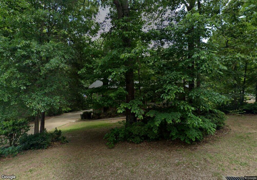
1043 Crestview Dr Mc Calla, AL 35111
Estimated Value: $286,000 - $314,334
4
Beds
3
Baths
1,669
Sq Ft
$179/Sq Ft
Est. Value
About This Home
This home is located at 1043 Crestview Dr, Mc Calla, AL 35111 and is currently estimated at $299,584, approximately $179 per square foot. 1043 Crestview Dr is a home located in Jefferson County with nearby schools including Mcadory Elementary School, Mcadory Middle School, and Mcadory High School.
Ownership History
Date
Name
Owned For
Owner Type
Purchase Details
Closed on
Sep 9, 2024
Sold by
Lightsey Kenneth W and Lightsey Faye D
Bought by
Lightsey Kennith W and Lightsey Faye D
Current Estimated Value
Home Financials for this Owner
Home Financials are based on the most recent Mortgage that was taken out on this home.
Original Mortgage
$276,760
Outstanding Balance
$273,649
Interest Rate
6.47%
Mortgage Type
New Conventional
Estimated Equity
$25,935
Purchase Details
Closed on
Jan 2, 2003
Sold by
Lightsey Darwin Dewayne and Lightsey Kenneth W
Bought by
Crane Curtis Wayne
Create a Home Valuation Report for This Property
The Home Valuation Report is an in-depth analysis detailing your home's value as well as a comparison with similar homes in the area
Home Values in the Area
Average Home Value in this Area
Purchase History
| Date | Buyer | Sale Price | Title Company |
|---|---|---|---|
| Lightsey Kennith W | -- | None Listed On Document | |
| Crane Curtis Wayne | $46,186 | -- |
Source: Public Records
Mortgage History
| Date | Status | Borrower | Loan Amount |
|---|---|---|---|
| Open | Lightsey Kennith W | $276,760 |
Source: Public Records
Tax History Compared to Growth
Tax History
| Year | Tax Paid | Tax Assessment Tax Assessment Total Assessment is a certain percentage of the fair market value that is determined by local assessors to be the total taxable value of land and additions on the property. | Land | Improvement |
|---|---|---|---|---|
| 2024 | -- | $26,500 | -- | -- |
| 2022 | $0 | $23,960 | $6,500 | $17,460 |
| 2021 | $288 | $19,210 | $6,500 | $12,710 |
| 2020 | $263 | $17,550 | $6,500 | $11,050 |
| 2019 | $286 | $19,080 | $0 | $0 |
| 2018 | $315 | $21,000 | $0 | $0 |
| 2017 | $202 | $20,180 | $0 | $0 |
| 2016 | -- | $20,180 | $0 | $0 |
| 2015 | -- | $20,180 | $0 | $0 |
| 2014 | $998 | $19,260 | $0 | $0 |
| 2013 | $998 | $19,920 | $0 | $0 |
Source: Public Records
Map
Nearby Homes
- 6525 Shadowrock Cir Unit 10
- 1134 Rock Crest Dr
- 1114 Rock Crest Dr
- 1016 Tall Oaks Cir Unit 1
- 2186 Rock Mountain Lake Dr
- 2157 Lakeside Dr
- 2134 Rock Mountain Dr
- 2216 Lakeside Dr
- 2005 Rock Mountain Dr Unit 5
- 501 Waterside Cir
- 1700 Lakeside Dr
- 2010 Rock Mountain Dr
- 993 Coleman Dr
- 7045 Summerdale Dr
- Beau Ridge Ln
- 1934 Martin Cir
- 1928 Lakeside Dr
- 8410 Beau Ridge Ln
- 1904 Leafwood Cir
- 1901 Lakeside Dr
- 1047 Crestview Dr
- 1209 Rock Crest Dr
- 1051 Crestview Dr
- 1039 Crestview Dr
- 1160 Rock Crest Dr
- 1158 Rock Crest Dr
- 1059 Crestview Dr
- 1040 Crestview Dr
- 1035 Crestview Dr
- 1050 Crestview Dr
- 1154 Rock Crest Dr
- 1176 Victoria Dr
- 1180 Victoria Dr
- 1063 Crestview Dr
- 1164 Victoria Dr
- 6530 Shadowrock Cir
- 1150 Rock Crest Dr
- 1151 Rock Crest Dr
- 6526 Shadowrock Cir