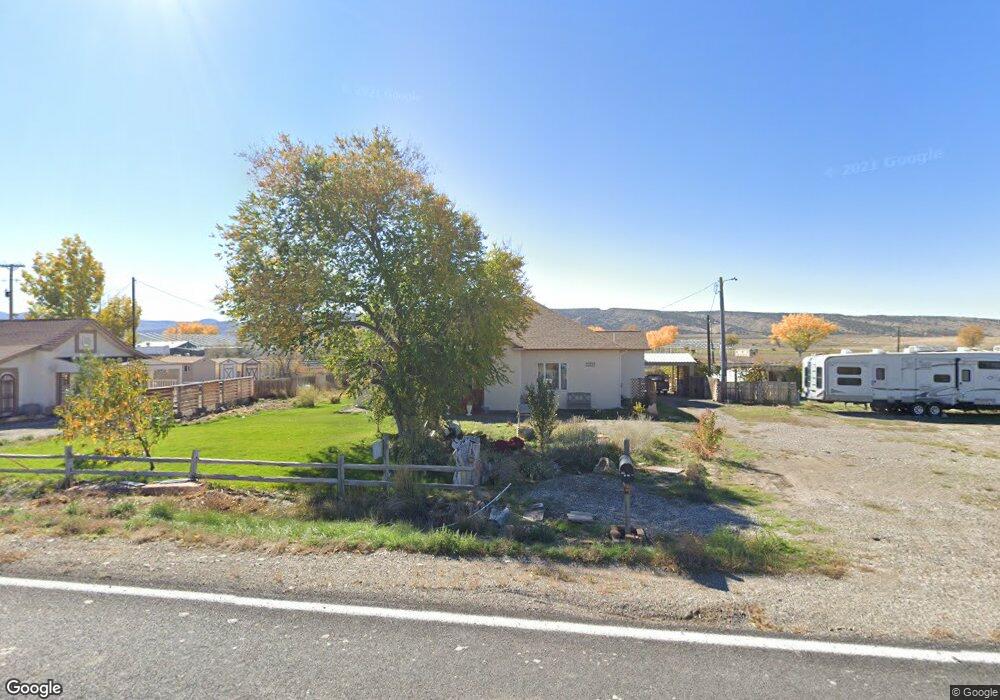
1043 Highway 6 and 50 MacK, CO 81525
Mack NeighborhoodEstimated Value: $420,000 - $505,303
4
Beds
3
Baths
2,313
Sq Ft
$195/Sq Ft
Est. Value
About This Home
This home is located at 1043 Highway 6 and 50, MacK, CO 81525 and is currently estimated at $450,326, approximately $194 per square foot. 1043 Highway 6 and 50 is a home located in Mesa County with nearby schools including Loma Elementary School, Fruita Middle School, and Fruita 8/9 School.
Ownership History
Date
Name
Owned For
Owner Type
Purchase Details
Closed on
Sep 26, 2024
Sold by
Chesney Alden
Bought by
Aarts Roy
Current Estimated Value
Home Financials for this Owner
Home Financials are based on the most recent Mortgage that was taken out on this home.
Original Mortgage
$412,525
Outstanding Balance
$408,302
Interest Rate
6.49%
Mortgage Type
New Conventional
Estimated Equity
$42,024
Create a Home Valuation Report for This Property
The Home Valuation Report is an in-depth analysis detailing your home's value as well as a comparison with similar homes in the area
Home Values in the Area
Average Home Value in this Area
Purchase History
| Date | Buyer | Sale Price | Title Company |
|---|---|---|---|
| Aarts Roy | $408,400 | Land Title Guarantee |
Source: Public Records
Mortgage History
| Date | Status | Borrower | Loan Amount |
|---|---|---|---|
| Open | Aarts Roy | $412,525 |
Source: Public Records
Tax History Compared to Growth
Tax History
| Year | Tax Paid | Tax Assessment Tax Assessment Total Assessment is a certain percentage of the fair market value that is determined by local assessors to be the total taxable value of land and additions on the property. | Land | Improvement |
|---|---|---|---|---|
| 2024 | $1,423 | $20,880 | $5,980 | $14,900 |
| 2023 | $1,423 | $20,880 | $5,980 | $14,900 |
| 2022 | $1,235 | $17,890 | $2,780 | $15,110 |
| 2021 | $1,241 | $18,410 | $2,860 | $15,550 |
| 2020 | $1,433 | $21,790 | $2,860 | $18,930 |
| 2019 | $1,352 | $21,790 | $2,860 | $18,930 |
| 2018 | $1,224 | $17,930 | $2,520 | $15,410 |
| 2017 | $1,168 | $17,930 | $2,520 | $15,410 |
| 2016 | $1,069 | $18,640 | $2,790 | $15,850 |
| 2015 | $419 | $7,190 | $2,790 | $4,400 |
| 2014 | $162 | $2,790 | $2,790 | $0 |
Source: Public Records
Map
Nearby Homes
- 1049 Highway 6&50
- 1047 Highway 6 and 50
- 1047 Highway 6 and 50
- 1065 Highway 6 and 50
- 1049 Highway 6 and 50
- 1045 Highway 6 and 50
- 1053 Highway 6 and 50
- 1065 Highway 6 and 50
- 1065 Highway 6&50
- 1043 Highway 6&50
- 1047 Highway 6&50
- 1045 Highway 6&50
- 1045 Highway 6&50
- 1045 Highway 6&50
- 1045 Highway 6&50
- 1065 Highway 6 & 50
- 1065 Hwy 6 & 50
- 1849 8 Rd
- 1851 8 Rd
- 1856 8 Rd