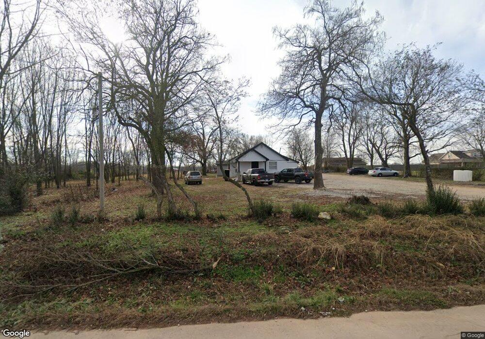
1043 NW Peterson Rd Bentonville, AR 72713
Estimated Value: $276,000 - $504,000
--
Bed
--
Bath
1,252
Sq Ft
$294/Sq Ft
Est. Value
About This Home
This home is located at 1043 NW Peterson Rd, Bentonville, AR 72713 and is currently estimated at $368,676, approximately $294 per square foot. 1043 NW Peterson Rd is a home located in Benton County with nearby schools including Vaughn Elementary, Grimsley Junior High School, and Creekside Middle School.
Ownership History
Date
Name
Owned For
Owner Type
Purchase Details
Closed on
Apr 11, 2023
Sold by
Vanhook Paul Scott and Vanhook Carra L
Bought by
Fuentes Juan Carlos and Lopez Mario Roberto
Current Estimated Value
Home Financials for this Owner
Home Financials are based on the most recent Mortgage that was taken out on this home.
Original Mortgage
$192,500
Outstanding Balance
$170,961
Interest Rate
5.89%
Mortgage Type
Credit Line Revolving
Estimated Equity
$197,715
Purchase Details
Closed on
Aug 10, 2001
Bought by
Vanhook
Purchase Details
Closed on
Sep 2, 1994
Bought by
Vanhook
Purchase Details
Closed on
Nov 12, 1965
Bought by
Davenport
Create a Home Valuation Report for This Property
The Home Valuation Report is an in-depth analysis detailing your home's value as well as a comparison with similar homes in the area
Home Values in the Area
Average Home Value in this Area
Purchase History
| Date | Buyer | Sale Price | Title Company |
|---|---|---|---|
| Fuentes Juan Carlos | $275,000 | Realty Title | |
| Vanhook | -- | -- | |
| Vanhook | $38,000 | -- | |
| Davenport | -- | -- |
Source: Public Records
Mortgage History
| Date | Status | Borrower | Loan Amount |
|---|---|---|---|
| Open | Fuentes Juan Carlos | $192,500 |
Source: Public Records
Tax History Compared to Growth
Tax History
| Year | Tax Paid | Tax Assessment Tax Assessment Total Assessment is a certain percentage of the fair market value that is determined by local assessors to be the total taxable value of land and additions on the property. | Land | Improvement |
|---|---|---|---|---|
| 2025 | $4,521 | $74,469 | $37,816 | $36,653 |
| 2024 | $2,318 | $37,816 | $37,816 | $0 |
| 2023 | $1,004 | $24,620 | $18,260 | $6,360 |
| 2022 | $605 | $24,620 | $18,260 | $6,360 |
| 2021 | $559 | $24,620 | $18,260 | $6,360 |
| 2020 | $526 | $14,250 | $9,780 | $4,470 |
| 2019 | $526 | $14,250 | $9,780 | $4,470 |
| 2018 | $711 | $16,840 | $9,780 | $7,060 |
| 2017 | $590 | $16,840 | $9,780 | $7,060 |
| 2016 | $590 | $16,840 | $9,780 | $7,060 |
| 2015 | $895 | $14,600 | $7,520 | $7,080 |
| 2014 | $545 | $14,600 | $7,520 | $7,080 |
Source: Public Records
Map
Nearby Homes
- 0 True Rd Unit 1270044
- 5908 NW Sherman St
- 6002 NW Sherman St
- 5908 NW Meade St
- 5900 NW Hancock St
- 821 NW 63rd Ave
- 1050 NW Daniels Rd
- 5901 NW Silas St
- Tract 4 NW Peterson Rd
- Tract 5 NW Peterson Rd
- Lot 23 Tbd Peterson Rd
- 1072 Daniels Rd
- 6008 NW Meade St
- 5905 NW Ettie May St
- 812 NW 64th Ave
- Lot 3 Tbd Peterson Rd
- Lot 10 Tbd Peterson Rd
- Lot 4 Tbd Peterson Rd
- 6007 NW Ettie May St
- 9815 Digby Rd
- 1043 NW Peterson Rd
- 14293 Peterson Rd
- 1101 NW Peterson Rd
- 1105 NW Peterson Rd
- 0 14419 Petersom Rd
- 14305 Peterson Rd
- 1159 NW Peterson Rd
- 5109 NW True Rd
- 5109 NW True Rd
- 14309 Peterson Rd
- 949 NW Peterson Rd
- 0 W True Rd
- 14313 Peterson Rd
- 12 W Highway 12 Ln
- 1452 NW Peterson Rd
- 14478 Peterson Rd
- 1308 Peterson Rd
- 13992 W Highway 12
- 9781 True Rd
- 1082 NW Pautsky Ave