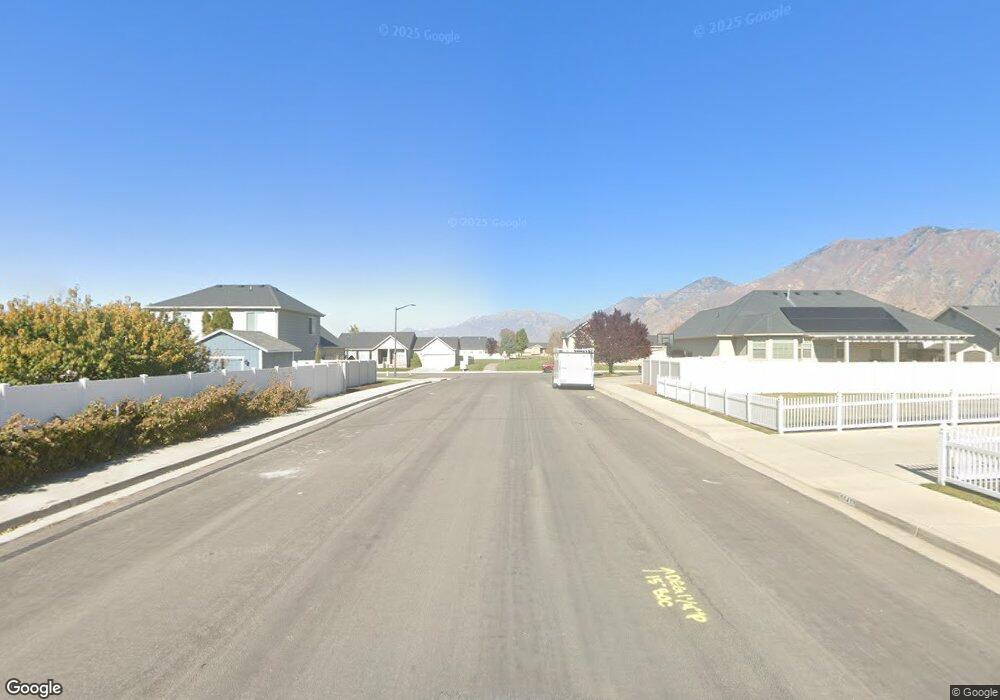
1043 S 1640 W Springville, UT 84663
Westfields South NeighborhoodEstimated Value: $448,000 - $645,000
5
Beds
3
Baths
1,772
Sq Ft
$294/Sq Ft
Est. Value
About This Home
This home is located at 1043 S 1640 W, Springville, UT 84663 and is currently estimated at $521,348, approximately $294 per square foot. 1043 S 1640 W is a home located in Utah County with nearby schools including Meadow Brook Elementary School, Springville Junior High School, and Springville High School.
Ownership History
Date
Name
Owned For
Owner Type
Purchase Details
Closed on
Jul 14, 2006
Sold by
Chavez Anthony
Bought by
Gerhart Patricia A
Current Estimated Value
Purchase Details
Closed on
Mar 2, 2006
Sold by
Kieffer Mathew W and Kieffer Kari P
Bought by
Chavez Anthony
Purchase Details
Closed on
Aug 22, 2001
Sold by
Salisbury Development Lc
Bought by
Kieffer Mathew W and Kieffer Kari P
Home Financials for this Owner
Home Financials are based on the most recent Mortgage that was taken out on this home.
Original Mortgage
$137,063
Interest Rate
7.21%
Mortgage Type
FHA
Create a Home Valuation Report for This Property
The Home Valuation Report is an in-depth analysis detailing your home's value as well as a comparison with similar homes in the area
Home Values in the Area
Average Home Value in this Area
Purchase History
| Date | Buyer | Sale Price | Title Company |
|---|---|---|---|
| Gerhart Patricia A | -- | Deer Creek Title Insurance | |
| Chavez Anthony | -- | Old Republic Title Company | |
| Kieffer Mathew W | -- | Provo Land Title Company |
Source: Public Records
Mortgage History
| Date | Status | Borrower | Loan Amount |
|---|---|---|---|
| Previous Owner | Kieffer Mathew W | $137,063 |
Source: Public Records
Tax History Compared to Growth
Tax History
| Year | Tax Paid | Tax Assessment Tax Assessment Total Assessment is a certain percentage of the fair market value that is determined by local assessors to be the total taxable value of land and additions on the property. | Land | Improvement |
|---|---|---|---|---|
| 2025 | $2,347 | $245,795 | $175,100 | $271,800 |
| 2024 | $2,309 | $232,925 | $0 | $0 |
| 2023 | $2,305 | $231,330 | $0 | $0 |
| 2022 | $2,305 | $226,765 | $0 | $0 |
| 2021 | $2,013 | $307,800 | $121,500 | $186,300 |
| 2020 | $1,729 | $276,300 | $90,000 | $186,300 |
| 2019 | $1,729 | $260,700 | $82,500 | $178,200 |
| 2018 | $1,662 | $239,000 | $75,000 | $164,000 |
| 2017 | $1,579 | $120,450 | $0 | $0 |
| 2016 | $0 | $109,340 | $0 | $0 |
| 2015 | -- | $100,210 | $0 | $0 |
| 2014 | -- | $96,085 | $0 | $0 |
Source: Public Records
Map
Nearby Homes
- 1791 W 1200 S Unit 329
- 1219 S 1850 W Unit 221
- 1046 S 1300 W
- 1370 S 1500 W
- 1343 W 1250 S
- 1036 S 1200 W
- 804 W 900 S
- 1468 S Archmore Dr
- 1081 W 1150 S
- 835 S 950 W Unit 124
- 817 S 950 W Unit 126
- 883 W Hobble Creek Ct Unit 91
- 811 S 950 W Unit 127
- 841 S 950 W Unit 123
- 896 Huntington River Dr Unit 102
- 895 Hobble Creek Ct Unit 90
- 1069 W 1550 S
- 819 S Greenway Dr W
- 857 S Greenway Dr W
- 709 S Greenway Dr Unit 14
- 1043 Victoria Ave
- 1608 W 1065 S
- 1627 Britannia Ave
- 1619 Britannia Ave
- 1652 W 1065 S
- 1592 W 1065 S
- 1655 Britannia Ave
- 1583 Britannia Ave
- 1625 W 1065 S
- 1668 W 1065 S
- 1593 W 1065 S
- 1574 W 1065 S
- 1643 W 1065 S
- 1667 Britannia Ave
- 1561 Britannia Ave
- 1624 Britannia Ave
- 1659 W 1065 S
- 1577 W 1065 S
- 1606 Britannia Ave
- 1698 W 1065 S