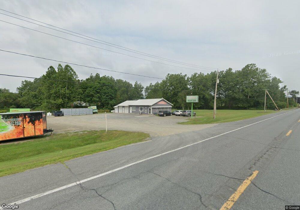
1043 State Route 22 Cambridge, NY 12816
Estimated Value: $229,146
--
Bed
1
Bath
2,460
Sq Ft
$93/Sq Ft
Est. Value
About This Home
This home is located at 1043 State Route 22, Cambridge, NY 12816 and is currently estimated at $229,146, approximately $93 per square foot. 1043 State Route 22 is a home located in Washington County with nearby schools including Cambridge Elementary School and Cambridge Junior/Senior High School.
Ownership History
Date
Name
Owned For
Owner Type
Purchase Details
Closed on
Nov 24, 2014
Sold by
Midstate Property Mangmnt Llc
Bought by
Mmr Flood Properties Llc
Current Estimated Value
Purchase Details
Closed on
Jun 24, 2011
Sold by
Dizoglio Michael
Bought by
Midstate Property Management
Home Financials for this Owner
Home Financials are based on the most recent Mortgage that was taken out on this home.
Original Mortgage
$105,000
Interest Rate
4.63%
Mortgage Type
Commercial
Create a Home Valuation Report for This Property
The Home Valuation Report is an in-depth analysis detailing your home's value as well as a comparison with similar homes in the area
Home Values in the Area
Average Home Value in this Area
Purchase History
| Date | Buyer | Sale Price | Title Company |
|---|---|---|---|
| Mmr Flood Properties Llc | $120,000 | D. Alan Wrigley, Jr. | |
| Midstate Property Management | $150,000 | D Alan Wrigley, Jr |
Source: Public Records
Mortgage History
| Date | Status | Borrower | Loan Amount |
|---|---|---|---|
| Previous Owner | Midstate Property Management | $105,000 |
Source: Public Records
Tax History Compared to Growth
Tax History
| Year | Tax Paid | Tax Assessment Tax Assessment Total Assessment is a certain percentage of the fair market value that is determined by local assessors to be the total taxable value of land and additions on the property. | Land | Improvement |
|---|---|---|---|---|
| 2024 | $2,832 | $190,000 | $29,800 | $160,200 |
| 2023 | $4,817 | $190,000 | $29,800 | $160,200 |
| 2022 | $5,331 | $190,000 | $29,800 | $160,200 |
| 2021 | $5,772 | $121,243 | $9,900 | $111,343 |
| 2020 | $5,380 | $111,243 | $9,900 | $101,343 |
| 2019 | $5,419 | $111,243 | $9,900 | $101,343 |
| 2018 | $5,419 | $111,243 | $9,900 | $101,343 |
| 2017 | $5,222 | $111,243 | $9,900 | $101,343 |
| 2016 | $5,182 | $111,243 | $9,900 | $101,343 |
| 2015 | -- | $99,000 | $9,900 | $89,100 |
| 2014 | -- | $99,000 | $9,900 | $89,100 |
Source: Public Records
Map
Nearby Homes
- 251 Turnpike Rd
- 971 Turnpike Rd
- 763 Turnpike Rd
- 33 S Union St
- 24-26 Avenue A
- 16 W Main St
- 4 Washington St
- 8 N Park St
- 262 Ashgrove Rd
- 10 Spring Valley Ln
- 77 Spring St
- 602 Turnpike Rd
- 667 Ashgrove Rd
- L30 New York 22
- 669 Ashgrove Rd
- 127 Lincoln Hill Rd
- 204 County Route 68
- 63 County Route 62
- 251 Turnpike Rd
- 800 Chestnut Hill Rd
- 1043 New York 22
- 1051 State Route 22
- 1051 State Route 22
- 1043 State Route 22
- 1072 New York 22
- 1072 State Route 22
- 1075 State Route 22
- 1076 State Route 22
- 125 Whitecreek Shunpike Rd
- 86 White Creek Rd
- 87 White Creek Rd
- 87 White Creek Shunpike Rd
- 145 Whitecreek Shunpike Rd
- 87 Whitecreek Shunpike Rd
- 151 Whitecreek Shunpike Rd
- 1052 New York 22
- 1080 New York State Route 22
- 165 Whitecreek Shunpike Rd
- 55 Cold Springs Ln
- 976 State Route 22