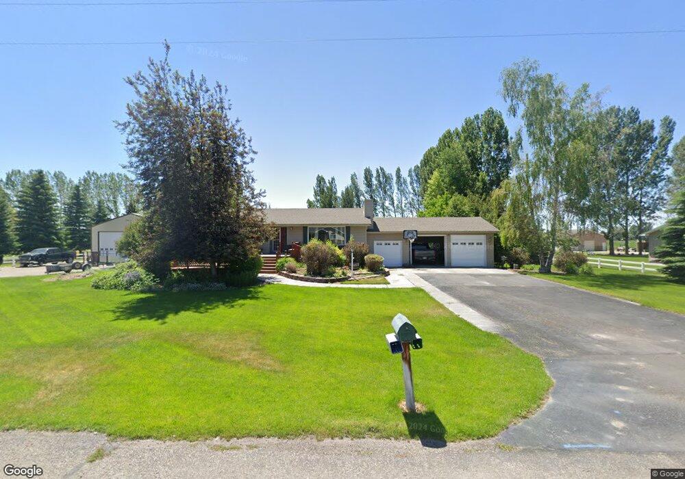
1043 Widdison Ln Rexburg, ID 83440
Estimated Value: $436,000 - $459,688
4
Beds
2
Baths
1,893
Sq Ft
$235/Sq Ft
Est. Value
About This Home
This home is located at 1043 Widdison Ln, Rexburg, ID 83440 and is currently estimated at $444,672, approximately $234 per square foot. 1043 Widdison Ln is a home located in Madison County with nearby schools including Burton Elementary School, Kennedy Elementary School, and Madison Junior High School.
Ownership History
Date
Name
Owned For
Owner Type
Purchase Details
Closed on
Sep 2, 2022
Sold by
Powers Walker Michael
Bought by
Davies Walker John
Current Estimated Value
Purchase Details
Closed on
Jul 29, 2020
Sold by
Walker Michael Powers and Walker Michael P
Bought by
Walker Michael Powers
Home Financials for this Owner
Home Financials are based on the most recent Mortgage that was taken out on this home.
Original Mortgage
$100,000
Interest Rate
3.1%
Mortgage Type
Credit Line Revolving
Create a Home Valuation Report for This Property
The Home Valuation Report is an in-depth analysis detailing your home's value as well as a comparison with similar homes in the area
Home Values in the Area
Average Home Value in this Area
Purchase History
| Date | Buyer | Sale Price | Title Company |
|---|---|---|---|
| Davies Walker John | -- | None Listed On Document | |
| Walker Michael Powers | -- | Alliance Ttl Rexburg Office |
Source: Public Records
Mortgage History
| Date | Status | Borrower | Loan Amount |
|---|---|---|---|
| Previous Owner | Walker Michael Powers | $100,000 |
Source: Public Records
Tax History Compared to Growth
Tax History
| Year | Tax Paid | Tax Assessment Tax Assessment Total Assessment is a certain percentage of the fair market value that is determined by local assessors to be the total taxable value of land and additions on the property. | Land | Improvement |
|---|---|---|---|---|
| 2025 | $2,898 | $464,794 | $80,000 | $384,794 |
| 2024 | $2,898 | $464,794 | $80,000 | $384,794 |
| 2023 | $2,898 | $424,366 | $377,446 | $46,920 |
| 2022 | $3,544 | $407,938 | $44,000 | $363,938 |
| 2021 | $2,946 | $330,888 | $44,000 | $286,888 |
| 2020 | $2,160 | $245,749 | $44,000 | $201,749 |
| 2019 | $2,153 | $227,902 | $44,000 | $183,902 |
| 2018 | $1,849 | $209,416 | $44,000 | $165,416 |
| 2017 | $1,782 | $200,173 | $44,000 | $156,173 |
| 2016 | $1,781 | $200,173 | $44,000 | $156,173 |
| 2015 | $1,878 | $194,701 | $0 | $0 |
| 2013 | -- | $194,701 | $0 | $0 |
Source: Public Records
Map
Nearby Homes
- 880 Liberty Ln
- 871 Widdison Ln
- 885 W Main St Unit Lot 2
- 758 Yost St
- 354 Oaktrail Dr
- 410 Sunflower Rd
- 2320 W 550 S
- 2213 W 550 S
- 530 Sunflower Rd
- 654 S 2100 W
- 2188 W 550 S
- 2195 W 550 S
- Ashland Plan at Summerfield
- Fairview Plan at Summerfield
- Highland Plan at Summerfield
- Richmond Plan at Summerfield
- Magnolia Plan at Summerfield
- Athens Plan at Summerfield
- Princeton Plan at Summerfield
- 690 S 2100 W
- 1005 Widdison Ln
- 1053 Widdison Ln
- TBD Widdison Ln
- 1038 Widdison Ln
- 999 Widdison Ln
- 1073 Widdison Ln
- 1050 Widdison Ln
- 998 Widdison Ln
- 1076 Widdison Ln
- 1098 Widdison Ln
- 1109 Widdison Ln
- 102 Winn Dr
- 1069 Summer St
- 1069 Summers Dr
- 68 Winn Dr
- 1110 Widdison Ln
- 1125 Widdison Ln
- 1087 Summers Dr
- Lot 13 Summer St
- 890 Parkside Dr