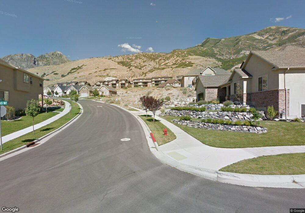
10431 Avondale Dr Unit 10 Cedar Hills, UT 84062
Estimated Value: $659,000 - $736,310
3
Beds
3
Baths
1,553
Sq Ft
$446/Sq Ft
Est. Value
About This Home
This home is located at 10431 Avondale Dr Unit 10, Cedar Hills, UT 84062 and is currently estimated at $692,078, approximately $445 per square foot. 10431 Avondale Dr Unit 10 is a home located in Utah County with nearby schools including Cedar Ridge Elementary School, Mountain Ridge Junior High School, and American Fork High School.
Ownership History
Date
Name
Owned For
Owner Type
Purchase Details
Closed on
Feb 11, 2016
Sold by
Kochel Layne S and Kochel Brittany M
Bought by
Kochel Layne S and Kochel Brittany M
Current Estimated Value
Home Financials for this Owner
Home Financials are based on the most recent Mortgage that was taken out on this home.
Original Mortgage
$370,500
Outstanding Balance
$295,548
Interest Rate
3.97%
Mortgage Type
New Conventional
Estimated Equity
$396,530
Purchase Details
Closed on
Mar 31, 2015
Sold by
Central Bank and Roth William G West
Bought by
Kochel Layne S and Cook Brittany M
Home Financials for this Owner
Home Financials are based on the most recent Mortgage that was taken out on this home.
Original Mortgage
$333,000
Interest Rate
3.76%
Mortgage Type
Commercial
Purchase Details
Closed on
Jun 21, 2011
Sold by
Bank Of American Fork
Bought by
Central Bank
Purchase Details
Closed on
Apr 1, 2011
Sold by
Bangerter Grant
Bought by
Bank Of American Fork
Purchase Details
Closed on
Feb 28, 2006
Sold by
Fullmer J Wyatt
Bought by
Bangerter Grant
Home Financials for this Owner
Home Financials are based on the most recent Mortgage that was taken out on this home.
Original Mortgage
$78,400
Interest Rate
6.04%
Mortgage Type
Purchase Money Mortgage
Purchase Details
Closed on
Feb 15, 2006
Sold by
Williams Cory Clint
Bought by
Fullmer J Wyatt
Home Financials for this Owner
Home Financials are based on the most recent Mortgage that was taken out on this home.
Original Mortgage
$78,400
Interest Rate
6.04%
Mortgage Type
Purchase Money Mortgage
Purchase Details
Closed on
Feb 2, 2006
Sold by
Centennial Bank
Bought by
Williams Cory Clint
Home Financials for this Owner
Home Financials are based on the most recent Mortgage that was taken out on this home.
Original Mortgage
$78,400
Interest Rate
6.04%
Mortgage Type
Purchase Money Mortgage
Purchase Details
Closed on
Aug 11, 2005
Sold by
Naumu Michael S
Bought by
Centennial Bank
Purchase Details
Closed on
Jul 9, 2004
Sold by
Naumu Michael S
Bought by
Avanoa Funding Corp
Purchase Details
Closed on
Oct 16, 2002
Sold by
Bfk Llc
Bought by
Naumu Michael S
Create a Home Valuation Report for This Property
The Home Valuation Report is an in-depth analysis detailing your home's value as well as a comparison with similar homes in the area
Home Values in the Area
Average Home Value in this Area
Purchase History
| Date | Buyer | Sale Price | Title Company |
|---|---|---|---|
| Kochel Layne S | -- | Meridian Title Co | |
| Kochel Layne S | -- | Title West | |
| Central Bank | -- | Affiliated First Title Co | |
| Bank Of American Fork | -- | First American Main | |
| Bangerter Grant | -- | Title West Title Company | |
| Fullmer J Wyatt | -- | Monument Title Insurance I | |
| Williams Cory Clint | -- | Monument Title Insurance I | |
| Centennial Bank | $462,516 | -- | |
| Avanoa Funding Corp | -- | Monument Title | |
| Naumu Michael S | -- | Provo Land Title Company |
Source: Public Records
Mortgage History
| Date | Status | Borrower | Loan Amount |
|---|---|---|---|
| Open | Kochel Layne S | $370,500 | |
| Closed | Kochel Layne S | $333,000 | |
| Previous Owner | Bangerter Grant | $78,400 | |
| Previous Owner | Fullmer J Wyatt | $97,000 | |
| Previous Owner | Williams Cory Clint | $35,540 |
Source: Public Records
Tax History Compared to Growth
Tax History
| Year | Tax Paid | Tax Assessment Tax Assessment Total Assessment is a certain percentage of the fair market value that is determined by local assessors to be the total taxable value of land and additions on the property. | Land | Improvement |
|---|---|---|---|---|
| 2025 | $2,932 | $380,105 | $220,300 | $470,800 |
| 2024 | $2,932 | $347,270 | $0 | $0 |
| 2023 | $2,817 | $358,435 | $0 | $0 |
| 2022 | $2,754 | $342,265 | $0 | $0 |
| 2021 | $2,458 | $455,100 | $158,000 | $297,100 |
| 2020 | $2,290 | $413,700 | $141,100 | $272,600 |
| 2019 | $2,146 | $402,600 | $130,000 | $272,600 |
| 2018 | $1,992 | $352,100 | $115,100 | $237,000 |
| 2017 | $1,805 | $170,555 | $0 | $0 |
| 2016 | $1,763 | $154,990 | $0 | $0 |
| 2015 | $849 | $70,600 | $0 | $0 |
| 2014 | $810 | $66,900 | $0 | $0 |
Source: Public Records
Map
Nearby Homes
- 10412 N Bayhill Dr
- 10358 N Tamarack Way
- 10514 N Doral Dr
- 10456 N Morgan Blvd
- 10448 Sage Vista Ln
- 10468 N Sage Vista Ln
- 10587 N Avalon St
- 4083 W Hayes Cir
- 10795 N La Costa
- 4084 W Shinnecock
- 3870 Mountaintop Cir
- 4292 W Joshua Ln
- 4198 W Sage Rd N
- 3851 W Mountaintop Cir Unit 5
- 10207 N Cottonwood Dr
- 9900 N Meadow Dr
- 4124 N 810 W
- 11197 N Park Dr
- 4616 W Carriage Ln
- 9575 Aztec Dr
- 10431 Avondale Dr
- 10429 Avondale Dr
- 10442 Avondale Dr Unit 33
- 10446 N Avondale Dr
- 10442 Avondale Dr Unit 33
- 10442 Avondale Dr
- 10439 Colonial Dr Unit 9
- 10439 Colonial Dr
- 10439 Colonial Dr Unit 9
- 10418 Colonial Dr
- 10424 N Tamarack Way
- 10424 N Tamarack Way
- 10446 Avondale Dr
- 10424 Tamarack Way
- 10424 Tamarack Way Unit 53
- 10446 Colonial Dr
- 10432 Avondale Dr
- 10413 Avondale Dr
- 10426 Avondale Dr
- 10455 Colonial Dr