10431 Long Ln Greencastle, PA 17225
Estimated Value: $122,030 - $287,000
--
Bed
--
Bath
1,572
Sq Ft
$143/Sq Ft
Est. Value
About This Home
This home is located at 10431 Long Ln, Greencastle, PA 17225 and is currently estimated at $224,508, approximately $142 per square foot. 10431 Long Ln is a home located in Franklin County with nearby schools including Greencastle-Antrim Primary School, Greencastle-Antrim Elementary School, and Greencastle-Antrim Middle School.
Ownership History
Date
Name
Owned For
Owner Type
Purchase Details
Closed on
Aug 14, 2012
Sold by
Gearhart Karl L and Gearhart Joyce Y
Bought by
Ryder Randy E and Belaire Kassie M
Current Estimated Value
Home Financials for this Owner
Home Financials are based on the most recent Mortgage that was taken out on this home.
Original Mortgage
$44,800
Outstanding Balance
$31,035
Interest Rate
3.67%
Mortgage Type
New Conventional
Estimated Equity
$193,473
Create a Home Valuation Report for This Property
The Home Valuation Report is an in-depth analysis detailing your home's value as well as a comparison with similar homes in the area
Home Values in the Area
Average Home Value in this Area
Purchase History
| Date | Buyer | Sale Price | Title Company |
|---|---|---|---|
| Ryder Randy E | $56,000 | None Available |
Source: Public Records
Mortgage History
| Date | Status | Borrower | Loan Amount |
|---|---|---|---|
| Open | Ryder Randy E | $44,800 |
Source: Public Records
Tax History Compared to Growth
Tax History
| Year | Tax Paid | Tax Assessment Tax Assessment Total Assessment is a certain percentage of the fair market value that is determined by local assessors to be the total taxable value of land and additions on the property. | Land | Improvement |
|---|---|---|---|---|
| 2025 | $1,278 | $7,640 | $2,230 | $5,410 |
| 2024 | $1,160 | $7,640 | $2,230 | $5,410 |
| 2023 | $1,146 | $7,640 | $2,230 | $5,410 |
| 2022 | $1,146 | $7,640 | $2,230 | $5,410 |
| 2021 | $1,124 | $7,640 | $2,230 | $5,410 |
| 2020 | $1,094 | $7,640 | $2,230 | $5,410 |
| 2019 | $1,070 | $7,640 | $2,230 | $5,410 |
| 2018 | $1,058 | $7,640 | $2,230 | $5,410 |
| 2017 | $1,031 | $7,640 | $2,230 | $5,410 |
| 2016 | $219 | $7,640 | $2,230 | $5,410 |
| 2015 | $204 | $7,640 | $2,230 | $5,410 |
| 2014 | $204 | $7,640 | $2,230 | $5,410 |
Source: Public Records
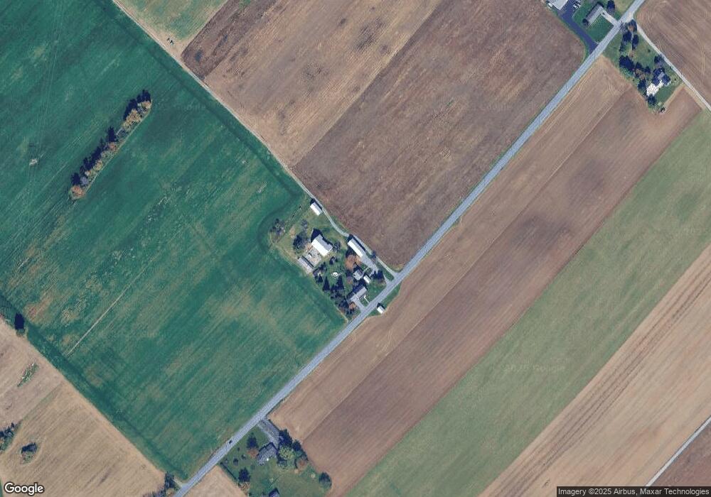
Map
Nearby Homes
- 1631 Buchanan Trail E
- 9227 Grindstone Hill Rd
- 790 Antrim Ln
- 823 Buchanan Trail E
- 602 Brookview Dr
- 560 Meadowview Cir
- 231 N Allison St Unit 1
- 271 E Baltimore St
- 148 E Madison St
- 148 N Carlisle St
- 101 N Carlisle St
- 431 Leitersburg St
- 674 Lohman Ave
- 64 W Walter Ave
- 90 W Walter Ave
- 7290 Angle Rd
- 775 Lohman Ave
- 45 W Dahlgren St
- 34.77 Acres Red Oak Estate S
- 140 Williamson Ave
- 10433 Long Ln
- 10526 Long Ln
- 10233 Long Ln
- 10230 Long Ln
- 9822 Grindstone Hill Rd
- 9840 Grindstone Hill Rd
- 9854 Grindstone Hill Rd
- 9809 Grindstone Hill Rd
- 9861 Grindstone Hill Rd
- 9860 Grindstone Hill Rd
- 0 Stull Rd
- 1551 Burkholder Rd
- 10683 Hades Church Rd
- 9888 Grindstone Hill Rd
- 9867 Grindstone Hill Rd
- 9894 Grindstone Hill Rd
- 1631 Burkholder Rd
- 1631 Burkholder Rd
- 9670 Grindstone Hill Rd
- 9916 Grindstone Hill Rd