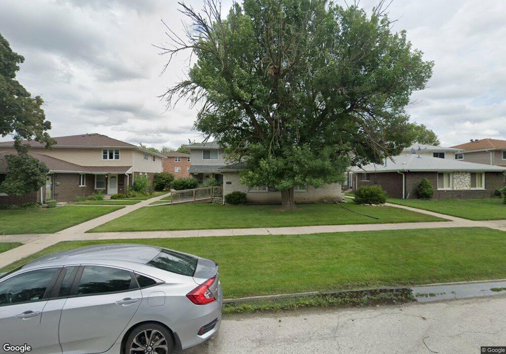
10433 Austin Ave Unit D Oak Lawn, IL 60453
Estimated Value: $150,000 - $183,000
2
Beds
1
Bath
800
Sq Ft
$202/Sq Ft
Est. Value
About This Home
This home is located at 10433 Austin Ave Unit D, Oak Lawn, IL 60453 and is currently estimated at $161,399, approximately $201 per square foot. 10433 Austin Ave Unit D is a home located in Cook County with nearby schools including Ridge Lawn Elementary School, Elden D Finley Jr High School, and Harold L. Richards High School.
Ownership History
Date
Name
Owned For
Owner Type
Purchase Details
Closed on
Jul 31, 1996
Sold by
Burns Mary H
Bought by
Martin Willa
Current Estimated Value
Home Financials for this Owner
Home Financials are based on the most recent Mortgage that was taken out on this home.
Original Mortgage
$78,000
Outstanding Balance
$6,232
Interest Rate
8.33%
Estimated Equity
$155,167
Create a Home Valuation Report for This Property
The Home Valuation Report is an in-depth analysis detailing your home's value as well as a comparison with similar homes in the area
Home Values in the Area
Average Home Value in this Area
Purchase History
| Date | Buyer | Sale Price | Title Company |
|---|---|---|---|
| Martin Willa | $89,000 | Attorneys Natl Title Network |
Source: Public Records
Mortgage History
| Date | Status | Borrower | Loan Amount |
|---|---|---|---|
| Open | Martin Willa | $78,000 |
Source: Public Records
Tax History Compared to Growth
Tax History
| Year | Tax Paid | Tax Assessment Tax Assessment Total Assessment is a certain percentage of the fair market value that is determined by local assessors to be the total taxable value of land and additions on the property. | Land | Improvement |
|---|---|---|---|---|
| 2024 | $797 | $14,641 | $1,954 | $12,687 |
| 2023 | $772 | $14,641 | $1,954 | $12,687 |
| 2022 | $772 | $8,969 | $1,796 | $7,173 |
| 2021 | $809 | $8,967 | $1,795 | $7,172 |
| 2020 | $855 | $8,967 | $1,795 | $7,172 |
| 2019 | $994 | $13,074 | $1,637 | $11,437 |
| 2018 | $950 | $13,074 | $1,637 | $11,437 |
| 2017 | $2,483 | $13,074 | $1,637 | $11,437 |
| 2016 | $1,881 | $9,235 | $1,373 | $7,862 |
| 2015 | $1,955 | $9,722 | $1,373 | $8,349 |
| 2014 | $1,473 | $10,233 | $1,373 | $8,860 |
| 2013 | $2,261 | $11,250 | $1,373 | $9,877 |
Source: Public Records
Map
Nearby Homes
- 10429 Austin Ave Unit A
- 10529 Lyman Ave
- 10330 Mayfield Ave Unit 2N
- 10301 Mcvicker Ave
- 6027 103rd St Unit 1
- 6131 Marshall Ave Unit 1W
- 10355 Menard Ave Unit 216
- 5810 107th Court Way
- 10420 Circle Dr Unit 25B
- 10420 Circle Dr Unit 22B
- 10400 Circle Dr Unit 102
- 5700 Circle Dr Unit 101
- 5633 Edge Lake Dr
- 10308 Circle Dr Unit 301
- 10364 Parkside Ave Unit C1
- 10510 Parkside Ave Unit 7
- 10510 Parkside Ave Unit 1
- 5621 W 104th St Unit B2
- 10755 Mason Ave
- 5733 W 101st Place
- 10433 Austin Ave Unit C
- 10433 Austin Ave Unit B
- 10433 Austin Ave Unit A
- 10437 Austin Ave Unit D
- 10437 Austin Ave Unit A
- 10437 Austin Ave Unit B
- 10437 Austin Ave Unit C
- 10437 Austin Ave Unit B
- 10429 Austin Ave Unit D
- 10429 Austin Ave Unit B
- 10429 Austin Ave Unit C
- 10429 Austin Ave
- 10425 Austin Ave Unit C
- 10425 Austin Ave Unit A
- 10425 Austin Ave Unit B
- 10441 Austin Ave Unit D
- 10441 Austin Ave Unit B
- 10441 Austin Ave Unit C
- 10441 Austin Ave Unit A
- 10436 Mason Ave