10433 Davis Ave Woodstock, MD 21163
Woodstock NeighborhoodEstimated Value: $448,180 - $544,000
--
Bed
2
Baths
1,680
Sq Ft
$296/Sq Ft
Est. Value
About This Home
This home is located at 10433 Davis Ave, Woodstock, MD 21163 and is currently estimated at $497,795, approximately $296 per square foot. 10433 Davis Ave is a home located in Baltimore County with nearby schools including Winfield Elementary School, Windsor Mill Middle School, and Randallstown High School.
Ownership History
Date
Name
Owned For
Owner Type
Purchase Details
Closed on
Apr 9, 2025
Sold by
Meekins Angus D
Bought by
Meekins Sherry L
Current Estimated Value
Purchase Details
Closed on
Mar 25, 2013
Sold by
Meekins Angus
Bought by
Meekins Angus and Meekins Betty
Home Financials for this Owner
Home Financials are based on the most recent Mortgage that was taken out on this home.
Original Mortgage
$230,000
Interest Rate
3.12%
Mortgage Type
Adjustable Rate Mortgage/ARM
Purchase Details
Closed on
Oct 4, 2000
Sold by
Meekins Keith A
Bought by
Meekins Keith A
Create a Home Valuation Report for This Property
The Home Valuation Report is an in-depth analysis detailing your home's value as well as a comparison with similar homes in the area
Home Values in the Area
Average Home Value in this Area
Purchase History
| Date | Buyer | Sale Price | Title Company |
|---|---|---|---|
| Meekins Sherry L | -- | Crown Title | |
| Meekins Sherry L | -- | Crown Title | |
| Meekins Angus | -- | None Available | |
| Meekins Keith A | -- | -- |
Source: Public Records
Mortgage History
| Date | Status | Borrower | Loan Amount |
|---|---|---|---|
| Previous Owner | Meekins Angus | $230,000 |
Source: Public Records
Tax History Compared to Growth
Tax History
| Year | Tax Paid | Tax Assessment Tax Assessment Total Assessment is a certain percentage of the fair market value that is determined by local assessors to be the total taxable value of land and additions on the property. | Land | Improvement |
|---|---|---|---|---|
| 2025 | $4,602 | $396,767 | -- | -- |
| 2024 | $4,602 | $378,000 | $114,000 | $264,000 |
| 2023 | $2,224 | $364,167 | $0 | $0 |
| 2022 | $4,241 | $350,333 | $0 | $0 |
| 2021 | $423 | $336,500 | $114,000 | $222,500 |
| 2020 | $423 | $324,067 | $0 | $0 |
| 2019 | $2,538 | $311,633 | $0 | $0 |
| 2018 | $3,667 | $299,200 | $90,000 | $209,200 |
| 2017 | $3,496 | $287,600 | $0 | $0 |
| 2016 | $3,198 | $276,000 | $0 | $0 |
| 2015 | $3,198 | $264,400 | $0 | $0 |
| 2014 | $3,198 | $264,400 | $0 | $0 |
Source: Public Records
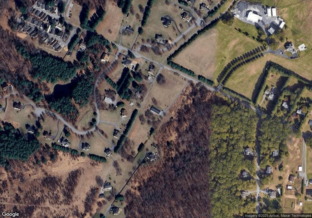
Map
Nearby Homes
- 10645 Davis Ave
- 10313 Cavey Ln
- 10719 Old Court Rd
- 10628 Saint Paul Ave
- 9113 Dogwood Rd
- 2331 Ridge Tree Ct
- 10170 Green Clover Dr
- 2300 Ridge Tree Ct
- 2211 Mount Hebron Dr
- 10174 Tracy Beth Ct
- 10185 Green Clover Dr
- 9350 Duff Ct
- 10162 Bracken Dr
- 10205 Cabery Rd
- 0 Wrights Mill Rd Unit MDBC2140880
- 2515 Ashbrook Dr
- 10655 Breezewood Dr
- 9305 Furrow Ave
- 9987 Old Mill Rd
- 10203 Raleigh Tavern Ln