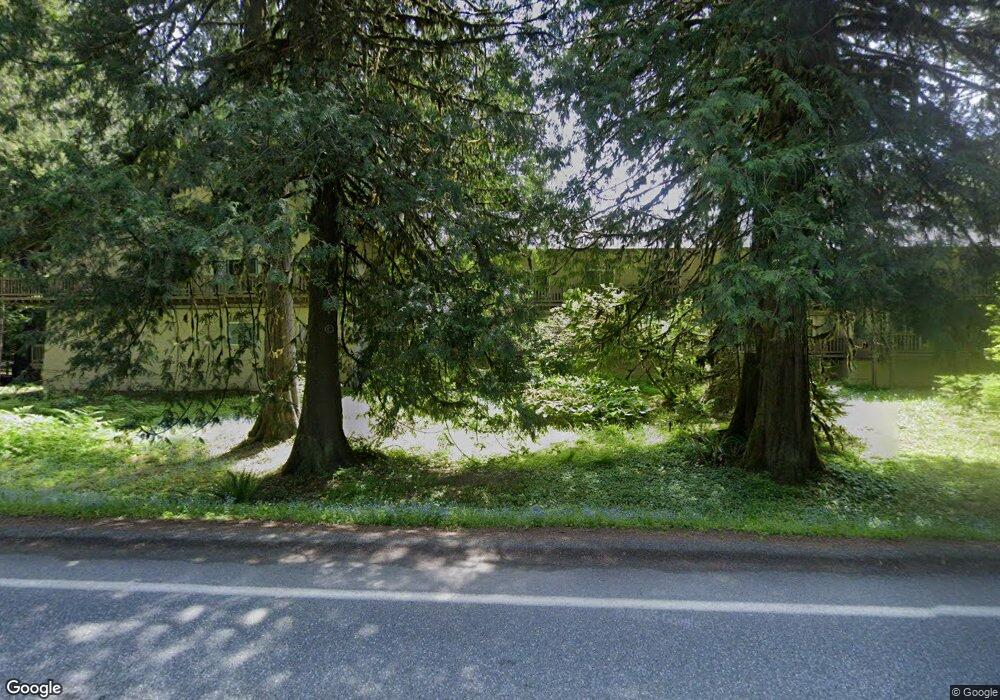
10433 Mt Baker Hwy Unit 2001 Glacier, WA 98244
Estimated Value: $187,000 - $224,000
1
Bed
1
Bath
422
Sq Ft
$503/Sq Ft
Est. Value
About This Home
This home is located at 10433 Mt Baker Hwy Unit 2001, Glacier, WA 98244 and is currently estimated at $212,466, approximately $503 per square foot. 10433 Mt Baker Hwy Unit 2001 is a home located in Whatcom County with nearby schools including Mount Baker Senior High School.
Ownership History
Date
Name
Owned For
Owner Type
Purchase Details
Closed on
Mar 18, 2011
Sold by
Roper Rex and Roper Michelle
Bought by
Brown Anthony C
Current Estimated Value
Home Financials for this Owner
Home Financials are based on the most recent Mortgage that was taken out on this home.
Original Mortgage
$56,000
Outstanding Balance
$38,892
Interest Rate
5.02%
Mortgage Type
New Conventional
Estimated Equity
$173,574
Purchase Details
Closed on
Jul 19, 2005
Sold by
Robertson Daniel L and Robertson Carolyn
Bought by
Roper Rex and Roper Michelle
Home Financials for this Owner
Home Financials are based on the most recent Mortgage that was taken out on this home.
Original Mortgage
$47,000
Interest Rate
5.51%
Mortgage Type
Fannie Mae Freddie Mac
Purchase Details
Closed on
Aug 6, 2004
Sold by
Koetje Gordon H and Saugen Barbara B
Bought by
Robertson Daniel L and Robertston Carolyn
Create a Home Valuation Report for This Property
The Home Valuation Report is an in-depth analysis detailing your home's value as well as a comparison with similar homes in the area
Home Values in the Area
Average Home Value in this Area
Purchase History
| Date | Buyer | Sale Price | Title Company |
|---|---|---|---|
| Brown Anthony C | $70,280 | Whatcom Land Title | |
| Roper Rex | $72,280 | Whatcom Land Title | |
| Robertson Daniel L | -- | Whatcom Land Title |
Source: Public Records
Mortgage History
| Date | Status | Borrower | Loan Amount |
|---|---|---|---|
| Open | Brown Anthony C | $56,000 | |
| Previous Owner | Roper Rex | $47,000 |
Source: Public Records
Tax History Compared to Growth
Tax History
| Year | Tax Paid | Tax Assessment Tax Assessment Total Assessment is a certain percentage of the fair market value that is determined by local assessors to be the total taxable value of land and additions on the property. | Land | Improvement |
|---|---|---|---|---|
| 2024 | $1,469 | $198,020 | $25,000 | $173,020 |
| 2023 | $1,469 | $216,442 | $27,181 | $189,261 |
| 2022 | $813 | $137,215 | $17,297 | $119,918 |
| 2021 | $756 | $88,526 | $11,159 | $77,367 |
| 2020 | $684 | $77,653 | $9,789 | $67,864 |
| 2019 | $521 | $67,524 | $8,512 | $59,012 |
| 2018 | $509 | $55,530 | $7,000 | $48,530 |
| 2017 | $434 | $43,524 | $7,475 | $36,049 |
| 2016 | $496 | $39,945 | $6,860 | $33,085 |
| 2015 | $514 | $45,350 | $3,150 | $42,200 |
| 2014 | -- | $45,350 | $3,150 | $42,200 |
| 2013 | -- | $45,350 | $3,150 | $42,200 |
Source: Public Records
Map
Nearby Homes
- 10433 Mt Baker Hwy Unit 1007
- 10433 Mount Baker Hwy Unit 2022A
- 10433 Mt Baker Hwy Unit 1017A
- 10433 Mt Baker Hwy Unit 1021A
- 6989 Snoqualmie Place
- 6982 Shuksan Arm
- 7010 Rainier Way
- 7018 Olympus Way
- 7138 Rainier Way
- 7036 Rainier Way
- 7045 Church Mountain Place
- 12026 Shuksan Rim Dr
- 7082 Olympus Way
- 7101 Rainier Way
- 7117 Rainier Way
- 14001 Welcome Rd
- 11098 Welcome Rd
- 22014 Pinnacle Rd
- 15033 Welcome Rd
- 18016 Glacier Rim Dr
- 10433 Mt Baker Hwy Unit 2017
- 10433 Mt Baker Hwy Unit 2012
- 10433 Mt Baker Hwy Unit 214
- 10433 Mt Baker Hwy Unit 2025
- 10433 Mt Baker Hwy Unit 2015
- 10433 Mt Baker Hwy Unit 104
- 10433 Mt Baker Hwy Unit 121
- 10433 Mt Baker Hwy Unit 1009
- 10433 Mt Baker Hwy Unit 2009
- 10433 Mt Baker Hwy Unit 1001A
- 10433 Mt Baker Hwy Unit 1003
- 10433 Mt Baker Hwy Unit 1023A
- 10433 Mount Baker Hwy Unit 1005A
- 10433 Mt Baker Hwy Unit 226
- 10433 Mt Baker Hwy Unit 213
- 10433 Mt Baker Hwy Unit 110
- 10433 Mount Baker Hwy Unit 117
- 10433 Mount Baker Hwy Unit 1019A
- 10433 Mt Baker Hwy Unit A